Road Stream Crossing Site GTBAY_LEE097
West Bay Shoreline & Tributaries Watershed, Northport Creek
Parking lot off Second Street
Leelanau Twp,
Leelanau County
Information collected by:
Site Location
GPS Coordinates: 45.13042099
, -85.61461634
T32N
R11W
Sec 34
Owned by Local Government
Private
Private
Fish Passability 0
Perch Height: 0.95 ft.
Total Erosion: 0.0498 tons/year
Severity: Severe
Year Inventoried: 2020
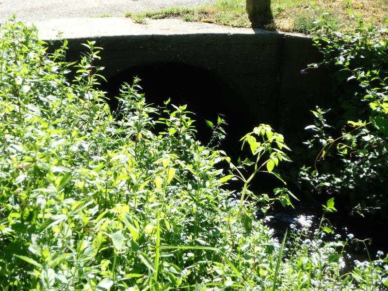
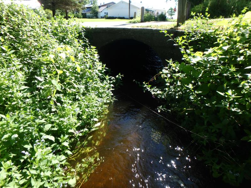
Inlet
Inlet
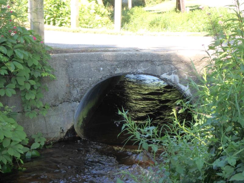
Outlet
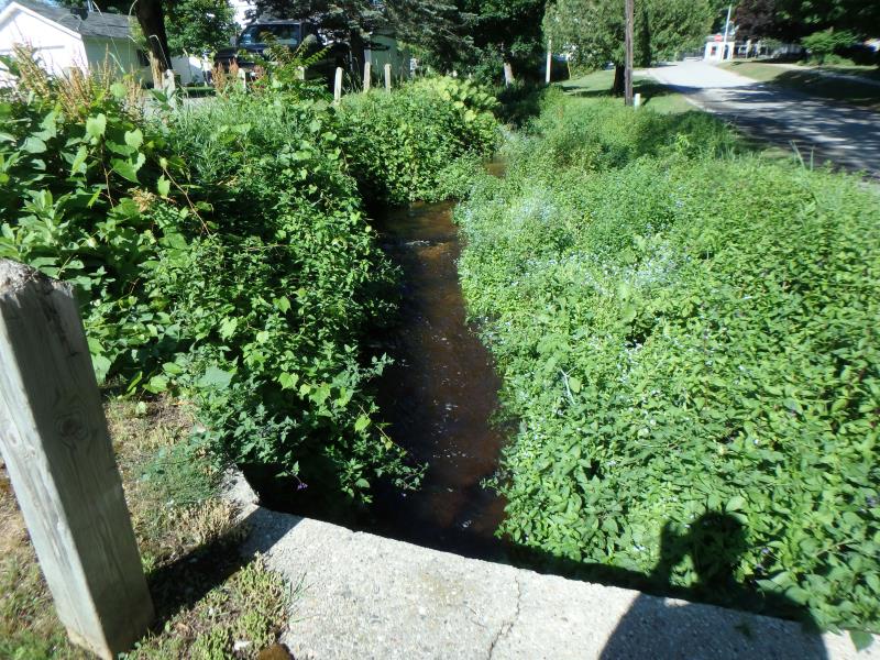
Upstream Conditions
Downstream Conditions
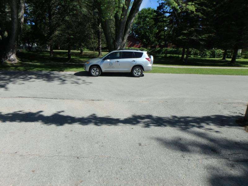
Road Approach - Left
Road Approach - Right
Crossing Information
Type of Crossing: culvert(s)
Number of Structures: 1
Structure Shape: Pipe Arch
Inlet Type: Headwall
Outlet Type: Freefall into Pool
Structure Material: Metal
Structure Substrate: Gravel
General Conditions: Fair
Structure Interior: corrugated
Dimensions of Structure: Length 24.1 ft.
, Width 4.7 ft.
, Height 3.8 ft.
Perch Height: 0.95 ft.
Structure Inlet
Water Depth: 0.5 ft.
Embedded Depth of Structure: 0 ft.
Water Velocity*: 5 ft./sec.
Structure Outlet
Water Depth: 0.045 ft.
Embedded Depth of Structure: 0 ft.
Water Velocity*: 7.6 ft./sec.
*Water Velocities were measured 0.25 ft. below Surface
(with Meter)
Stream Information
Stream Flow: Less than 1/2 Bankfull
Scour Pool: Length 6.2 ft.
, Width 7.6 ft.
, Depth 1 ft.
Riffle Information
Water Depth: 0.2 ft.
Bankfull Width: 13.4 ft.
Wetted Width: 9.8 ft.
Water Velocity: 4.1 ft./sec.
(Measured with Meter)
Dominant Substrate: Gravel
Road Information
Paved
Town Road
Road Condition: Fair
Road Width at Culvert: 20.5 ft.
Location of Low Point: Other
Runoff Path: Roadway
Embankments
Upstream
Fill Depth: 0.75 ft.
Slope: Vertical
Downstream
Fill Depth: 0.8 ft.
Slope: Vertical
Approaches
Left Approach
Length: 25 ft.
Slope: Less Than 1%
Vegetation: Partial
LS Factor: 0.05
Erosion: 0.0008 tons/year
Right Approach
Length: 78 ft.
Slope: 6% to 10%
Vegetation: Partial
LS Factor: 0.926
Erosion: 0.0489 tons/year
Erosion Information
Total Erosion at Crossing: 0.0498 tons/year
Summary Information
Fish Passability 0
Fish Passage is an area of concern for this site.
Perched culvert inhibits fish passage
�