Road Stream Crossing Site GTBAY_LEE098
West Bay Shoreline & Tributaries Watershed, Unnamed
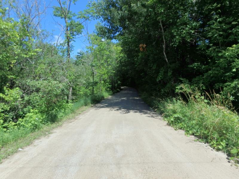
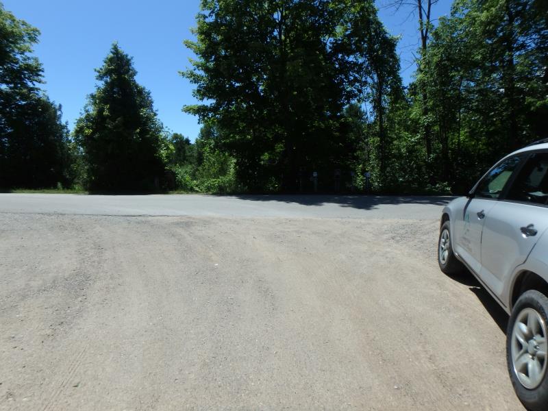
Plum Ln
Leelanau Twp,
Leelanau County
Information collected by:
Site Location
GPS Coordinates: 45.11349944
, -85.61730241
T31N
R11W
Sec 03
Owned by Private
Fish Passability 0.5
Total Erosion: 0.1297 tons/year
Severity: Moderate
Year Inventoried: 2020
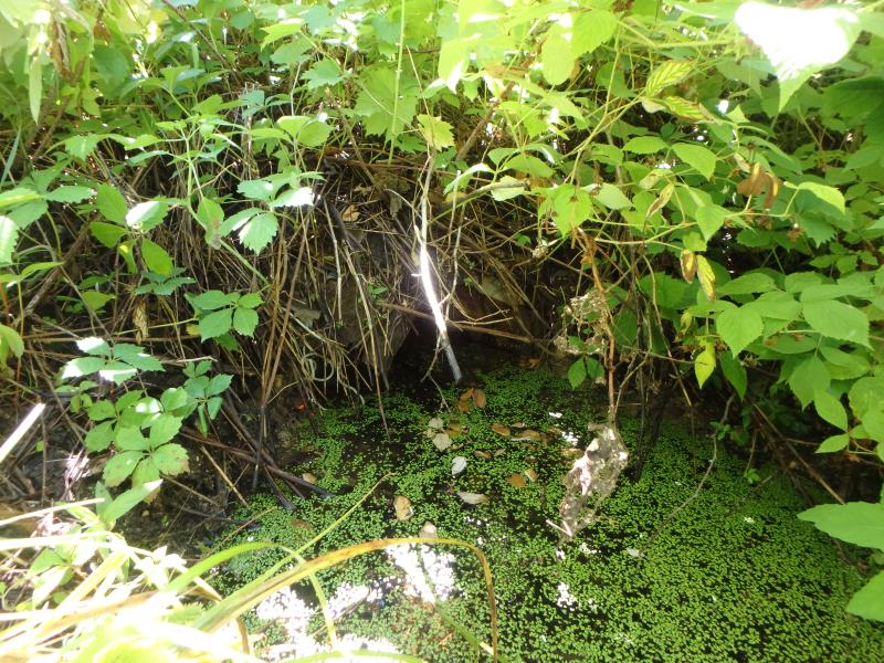
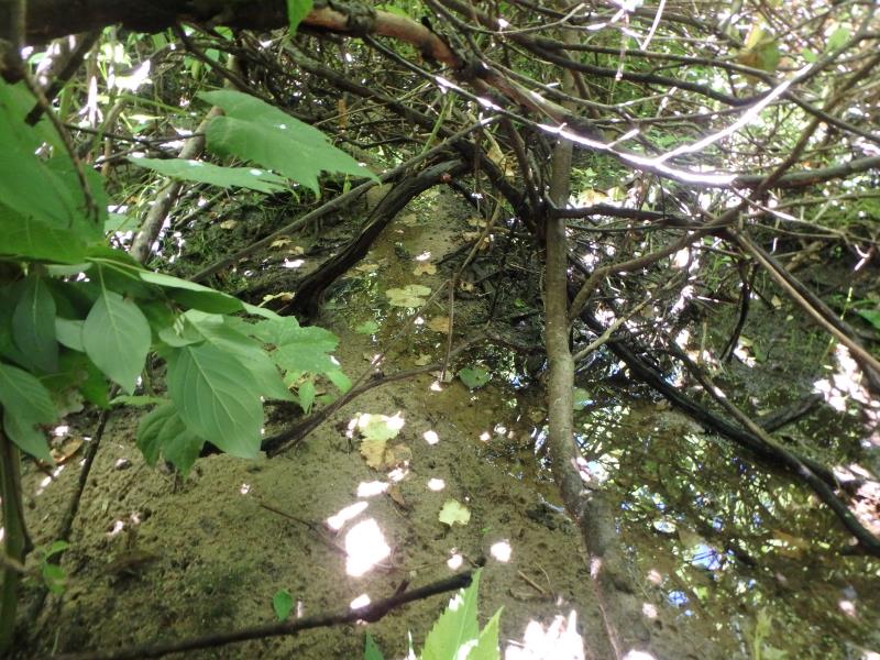
Inlet
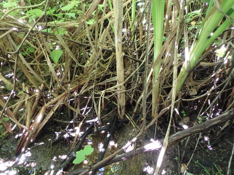
Outlet
Upstream Conditions
Downstream Conditions
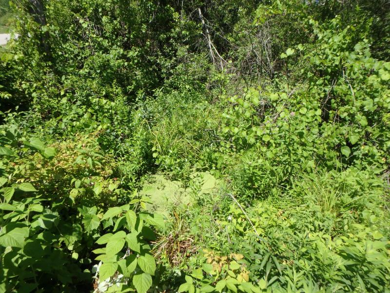
Road Approach - Left
Road Approach - Right
Crossing Information
Type of Crossing: culvert(s)
Number of Structures: 1
Structure Shape: Round
Inlet Type: Projecting
Outlet Type: At Stream Grade
Structure Material: Metal
Structure Substrate: Mixture
General Conditions: Poor
Structure Interior: corrugated
Structure is Rusted through
Dimensions of Structure: Length 34.8 ft.
, Width 1.3 ft.
, Height 1.3 ft.
Percentage Plugged:
Inlet: 0%
Outlet: 0%
In Pipe: 76% to 100%
Percentage Crushed:
Inlet: 0%
Outlet: 0%
In Pipe: 76% to 100%
Structure Inlet
Water Depth: 0.3 ft.
Embedded Depth of Structure: 0.55 ft.
Water Velocity*: 0 ft./sec.
Structure Outlet
Water Depth: 0.1 ft.
Embedded Depth of Structure: 0.5 ft.
Water Velocity*: 0.1 ft./sec.
*Water Velocities were measured 0.15 ft. below Surface
(with Meter)
Stream Information
Stream Flow: Less than 1/2 Bankfull
Riffle Information
Water Depth: 0.1 ft.
Bankfull Width: 4 ft.
Wetted Width: 0.5 ft.
Water Velocity: 0.1 ft./sec.
(Measured with Float Test)
Dominant Substrate: Organics
Road Information
Gravel
Private Road
Road Condition: Fair
Road Width at Culvert: 19.2 ft.
Location of Low Point: Other
Runoff Path: Roadway
Embankments
Upstream
Fill Depth: 1.5 ft.
Slope: 1:1
Downstream
Fill Depth: 2.05 ft.
Slope: 1:1
Approaches
Left Approach
Length: 50 ft.
Slope: Less Than 1%
Vegetation: Heavy
LS Factor: 0.05
Erosion: 0.0132 tons/year
Right Approach
Length: 63.6 ft.
Slope: 1% to 5%
Vegetation: Heavy
LS Factor: 0.346
Erosion: 0.1165 tons/year
Erosion Information
Total Erosion at Crossing: 0.1297 tons/year
Summary Information
Fish Passability 0.5
Fish Passage is an area of concern for this site.
Crushed
�