Road Stream Crossing Site GTBAY_LEE099
West Bay Shoreline & Tributaries Watershed, Unnamed
Casperson
Leelanau Twp,
Leelanau County
Information collected by:
Site Location
GPS Coordinates: 45.11343213
, -85.61723258
T31N
R11W
Sec 10
Owned by Private
Total Erosion: 0.0052 tons/year
Severity: Minor
Year Inventoried: 2020
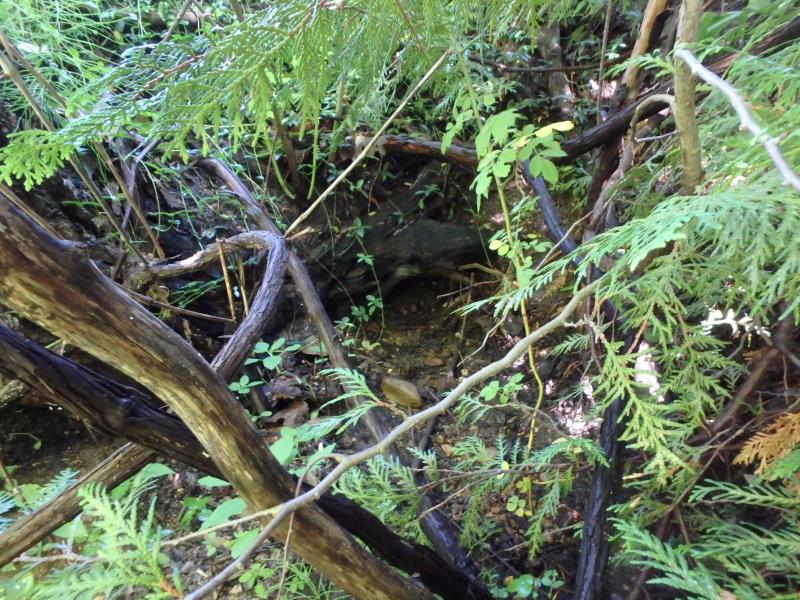
Inlet
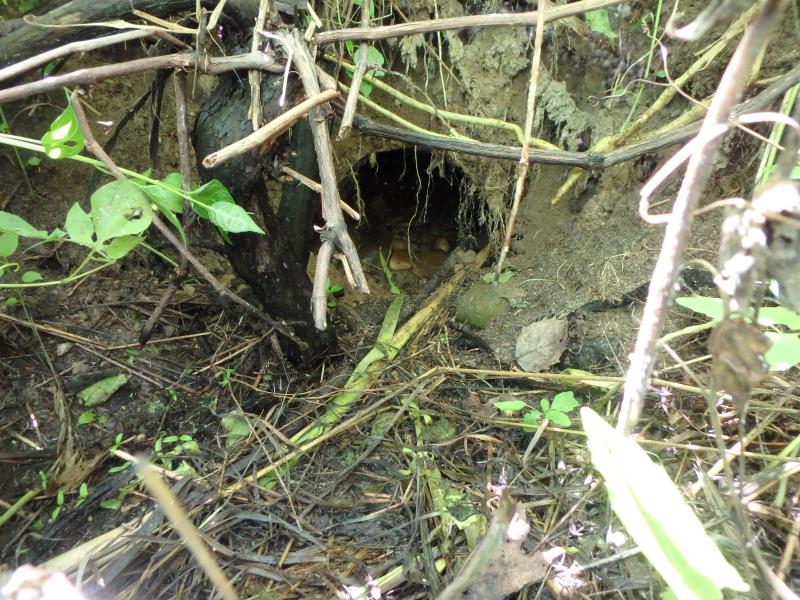
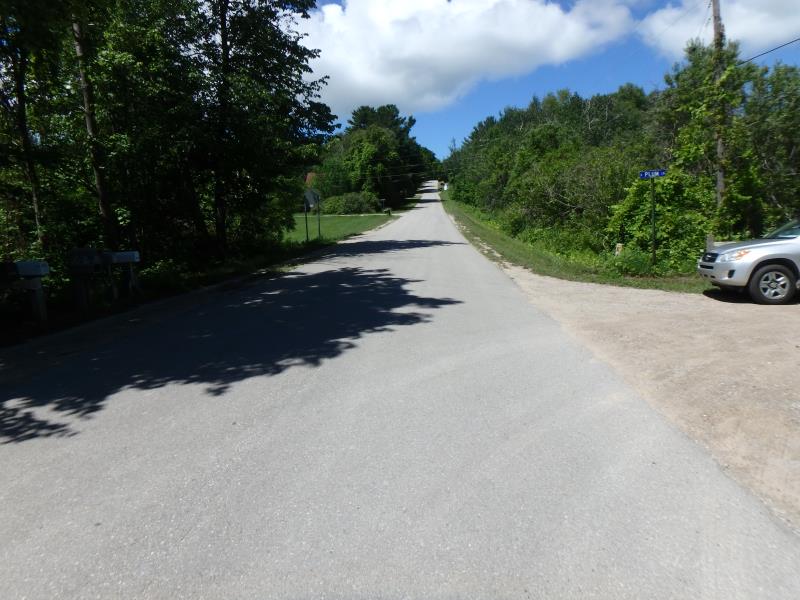
Outlet
Upstream Conditions
Downstream Conditions
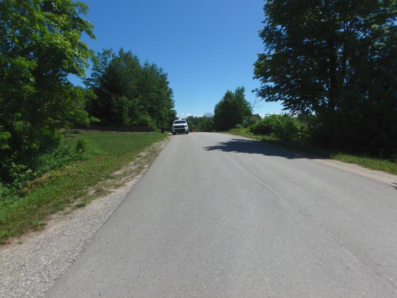
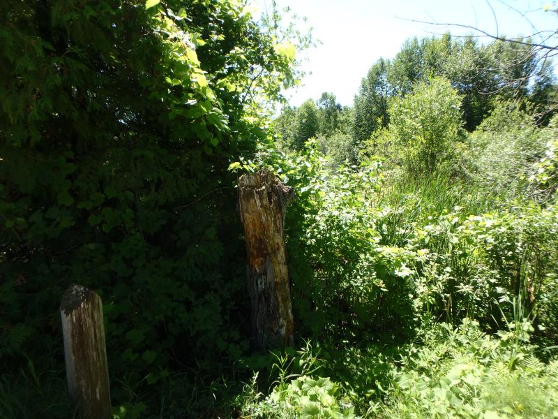
Road Approach - Left
Road Approach - Right
Crossing Information
Type of Crossing: culvert(s)
Number of Structures: 1
Structure Shape: Round
Inlet Type: Other
Outlet Type: At Stream Grade
Structure Material: Metal
Structure Substrate: Gravel
General Conditions: Poor
Dimensions of Structure: Length 43.4 ft.
, Width 0.2 ft.
, Height 0.2 ft.
Percentage Plugged:
Inlet: 0%
Outlet: 0%
In Pipe: 1% to 25%
Percentage Crushed:
Inlet: 0%
Outlet: 0%
In Pipe: 1% to 25%
Structure Inlet
Water Depth: 0.2 ft.
Embedded Depth of Structure: 0.3 ft.
Water Velocity*: 0 ft./sec.
Structure Outlet
Water Depth: 0.1 ft.
Embedded Depth of Structure: 0 ft.
Water Velocity*: 0 ft./sec.
*Water Velocities were measured 0.05 ft. below Surface
(with Meter)
Stream Information
Stream Flow: None
Road Information
Paved
County Road
Road Condition: Fair
Road Width at Culvert: 27.4 ft.
Location of Low Point: Other
Runoff Path: Roadway
Embankments
Upstream
Fill Depth: 3 ft.
Slope: Vertical
Downstream
Fill Depth: 3.1 ft.
Slope: Vertical
Approaches
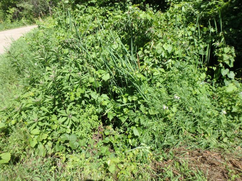
Left Approach
Length: 19.2 ft.
Slope: 1% to 5%
Vegetation: Partial
LS Factor: 0.233
Erosion: 0.004 tons/year
Right Approach
Length: 25 ft.
Slope: Less Than 1%
Vegetation: Partial
LS Factor: 0.05
Erosion: 0.0011 tons/year
Erosion Information
Total Erosion at Crossing: 0.0052 tons/year
Summary Information
Fish Passage is an area of concern for this site.
Culvert is plugged/crushed
�