Road Stream Crossing Site GTBAY_LEE106
West Bay Shoreline & Tributaries Watershed, Ennis Creek
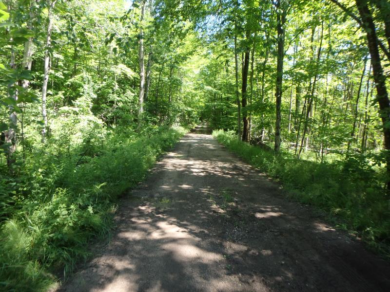
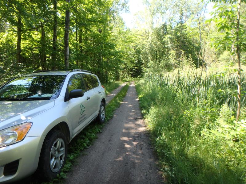
Ance Rd
Leelanau Twp,
Leelanau County
Information collected by:
Site Location
GPS Coordinates: 45.09561782
, -85.61768613
T31N
R11W
Sec 15
Owned by Private
Fish Passability 0
Perch Height: 1 ft.
Total Erosion: 1.6758 tons/year
Severity: Severe
Year Inventoried: 2020
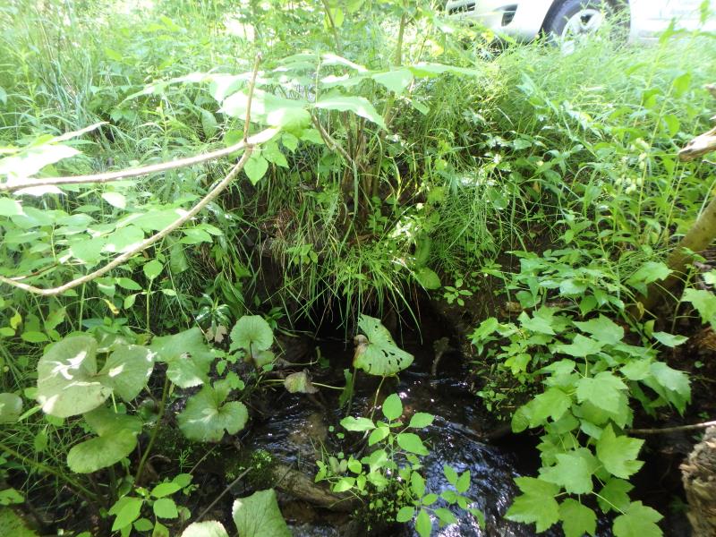
Inlet
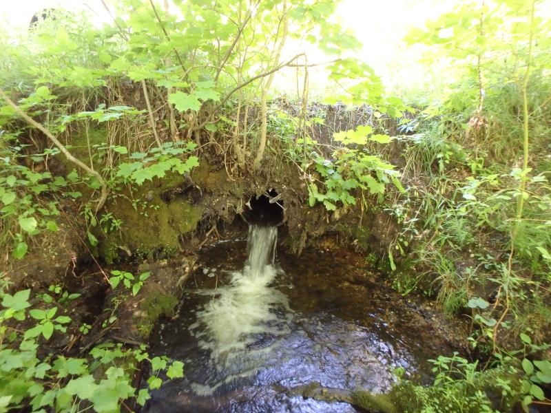
Outlet
Upstream Conditions
Downstream Conditions
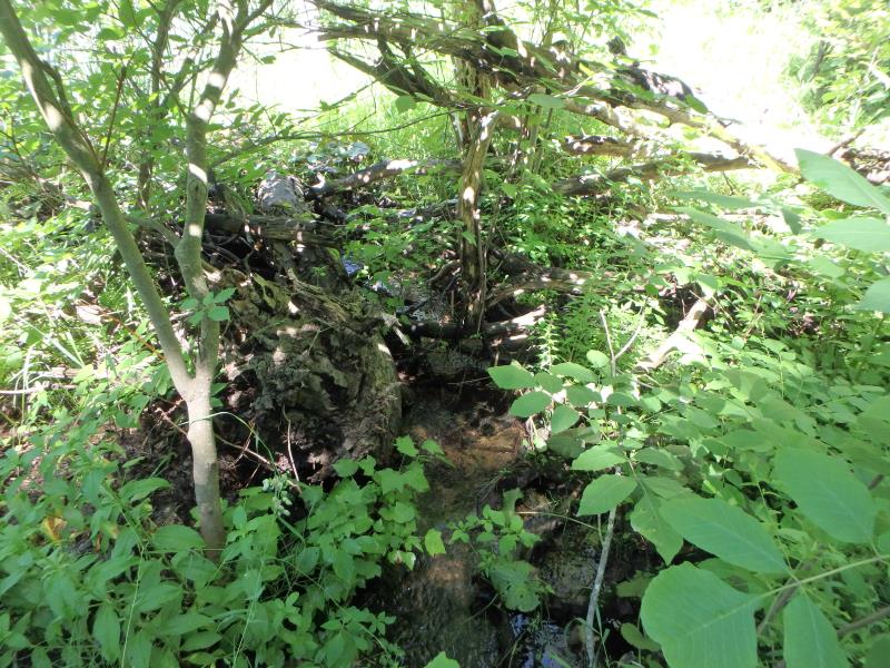
Road Approach - Left
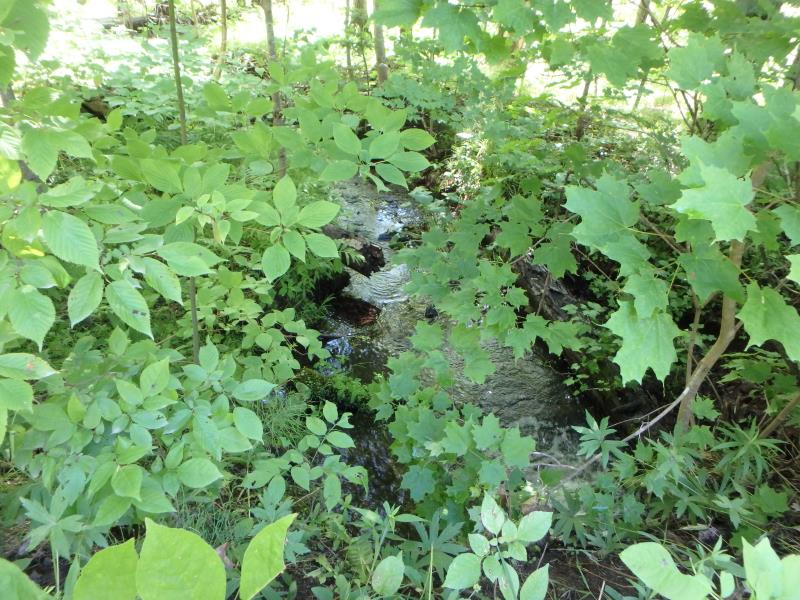
Road Approach - Right
Crossing Information
Type of Crossing: culvert(s)
Number of Structures: 1
Structure Shape: Round
Inlet Type: Projecting
Outlet Type: Freefall into Pool
Structure Material: Metal
Structure Substrate: None
General Conditions: Fair
Structure Interior: corrugated
Dimensions of Structure: Length 18.2 ft.
, Width 1.4 ft.
, Height 1.4 ft.
Perch Height: 1 ft.
Structure Inlet
Water Depth: 0.3 ft.
Embedded Depth of Structure: 0.3 ft.
Water Velocity*: 2.6 ft./sec.
Structure Outlet
Water Depth: 0.2 ft.
Embedded Depth of Structure: 0 ft.
Water Velocity*: 7.7 ft./sec.
*Water Velocities were measured 0.1 ft. below Surface
(with Meter)
Stream Information
Stream Flow: Less than 1/2 Bankfull
Scour Pool: Length 5.2 ft.
, Width 8.5 ft.
, Depth 1.2 ft.
Riffle Information
Water Depth: 0.2 ft.
Bankfull Width: 9.2 ft.
Wetted Width: 4.5 ft.
Water Velocity: 1.5 ft./sec.
(Measured with Meter)
Dominant Substrate: Gravel
Road Information
Gravel
Private Road
(Seasonal)
Road Condition: Fair
Road Width at Culvert: 9.3 ft.
Location of Low Point: At Stream
Runoff Path: Roadway
Embankments
Upstream
Fill Depth: 1.4 ft.
Slope: Vertical
Downstream
Fill Depth: 2.1 ft.
Slope: Vertical
Approaches
Left Approach
Length: 353 ft.
Slope: 1% to 5%
Vegetation: Heavy
LS Factor: 0.471
Erosion: 0.4256 tons/year
Right Approach
Length: 844.8 ft.
Slope: 1% to 5%
Vegetation: Heavy
LS Factor: 0.554
Erosion: 1.2001 tons/year
Erosion Information
Total Erosion at Crossing: 1.6758 tons/year
Extent of Erosion: Moderate
Erosion is occurring and corrective actions can be installed to address the problem.
Notes: Could potentially undercut road
Location of Erosion | Erosion Dimensions | Eroded Material | Material Eroded | Total Erosion | ||
facing downstream | Length | Width | Depth | Reaching Stream? | (tons/year) | |
Left Downstream Embankment |
1.3 ft. |
3.6 ft. |
2.2 ft. |
yes |
Sandy Loam |
0.0192 |
Right Downstream Embankment |
2.3 ft. |
4.5 ft. |
2 ft. |
yes |
Sandy Loam |
0.0309 |
Summary Information
Fish Passability 0
Erosion is an area of concern for this site.
Potential undercutting of road
�