Road Stream Crossing Site GTBAY_LEE107
West Bay Shoreline & Tributaries Watershed, Unnamed
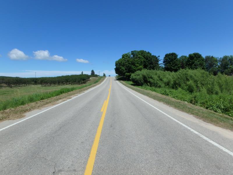
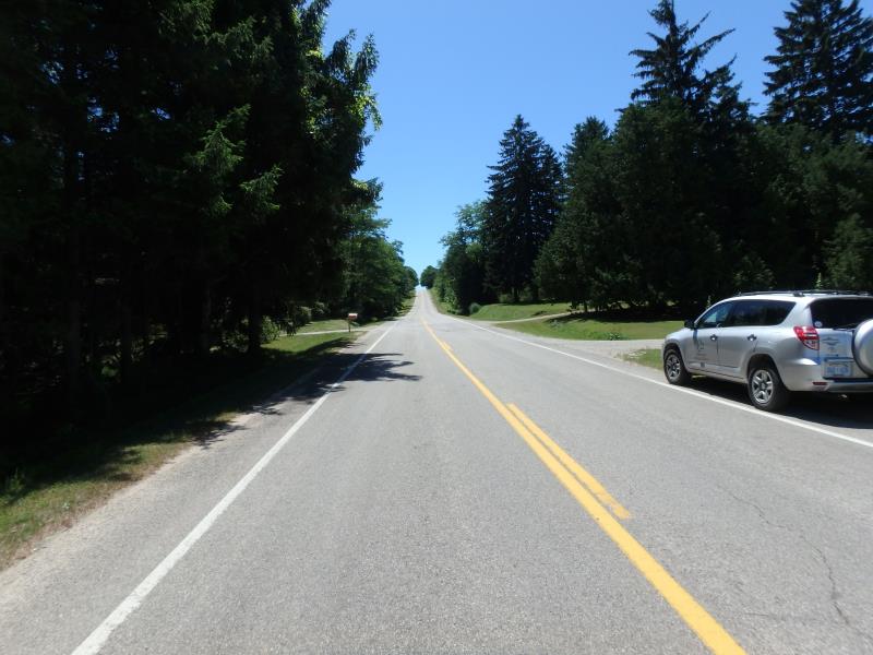
Overlook Rd
Leelanau Twp,
Leelanau County
Information collected by:
Site Location
GPS Coordinates: 45.0864802
, -85.60768937
T31N
R11W
Sec 14
Owned by Private
Fish Passability 0.5
Total Erosion: 0.6038 tons/year
Severity: Moderate
Year Inventoried: 2020
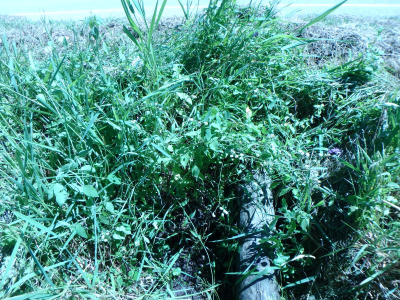
Inlet
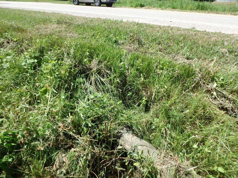
Outlet
Upstream Conditions
Downstream Conditions
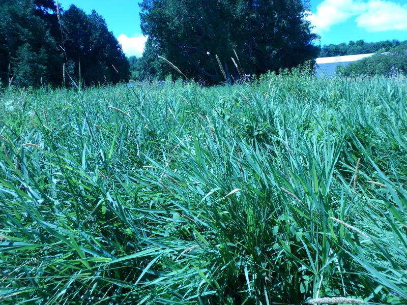
Road Approach - Left
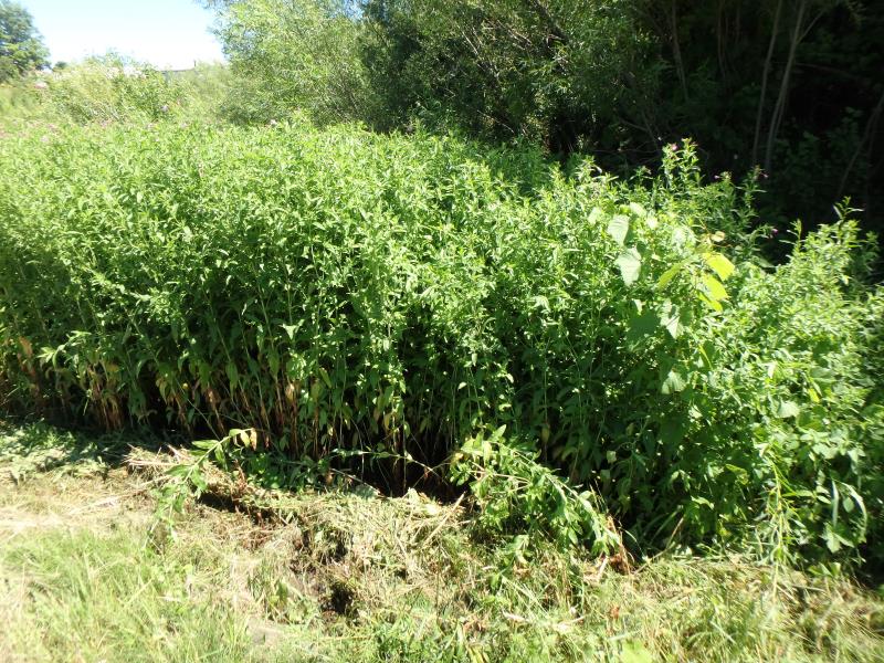
Road Approach - Right
Crossing Information
Type of Crossing: culvert(s)
Number of Structures: 1
Structure Shape: Round
Inlet Type: Projecting
Outlet Type: Other
Structure Material: Concrete
Structure Substrate: Mixture
General Conditions: Poor
Structure Interior: smooth
Dimensions of Structure: Length 42.3 ft.
, Width 1.5 ft.
, Height 1.5 ft.
Percentage Plugged:
Inlet: 0%
Outlet: 76% to 100%
In Pipe: 0%
Percentage Crushed:
Inlet: 0%
Outlet: 0%
In Pipe: 76% to 100%
Structure Inlet
Water Depth: 0.1 ft.
Embedded Depth of Structure: 0.7 ft.
Water Velocity*: 0.1 ft./sec.
Structure Outlet
Water Depth: 0.1 ft.
Embedded Depth of Structure: 0.7 ft.
Water Velocity*: 0.1 ft./sec.
Additional Comments
No flow
Stream Information
Stream Flow: None
Riffle Information
Water Depth: 0 ft.
Bankfull Width: 6 ft.
Wetted Width: 0 ft.
Water Velocity: 0 ft./sec.
Dominant Substrate: Organics
Road Information
Paved
County Road
Road Condition: Good
Road Width at Culvert: 27.8 ft.
Location of Low Point: At Stream
Runoff Path: Roadway
Embankments
Upstream
Fill Depth: 2.1 ft.
Slope: 1:1
Downstream
Fill Depth: 2 ft.
Slope: 1:1
Approaches
Left Approach
Length: 520 ft.
Slope: 1% to 5%
Vegetation: Partial
LS Factor: 0.648
Erosion: 0.3097 tons/year
Right Approach
Length: 500 ft.
Slope: 1% to 5%
Vegetation: Partial
LS Factor: 0.64
Erosion: 0.2941 tons/year
Erosion Information
Total Erosion at Crossing: 0.6038 tons/year
Summary Information
Fish Passability 0.5
Fish Passage is an area of concern for this site.
Culvert collapsed and there is little flow
�