Road Stream Crossing Site GTBAY_LEE110
West Bay Shoreline & Tributaries Watershed, Unnamed
E Pickwick Ct
Elmwood Twp,
Leelanau County
Information collected by:
Site Location
GPS Coordinates: 44.79396285
, -85.65006576
T28N
R11W
Sec 28
Owned by Private
Fish Passability 0
Perch Height: 0.1 ft.
Total Erosion: 0.3821 tons/year
Severity: Severe
Year Inventoried: 2020
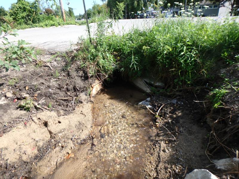
Inlet
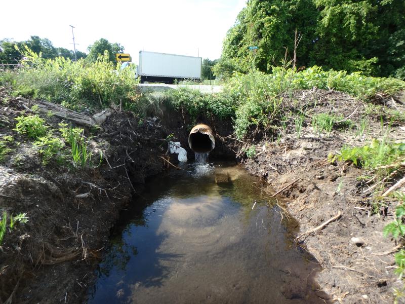
Outlet
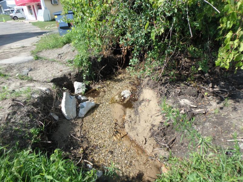
Upstream Conditions
Downstream Conditions
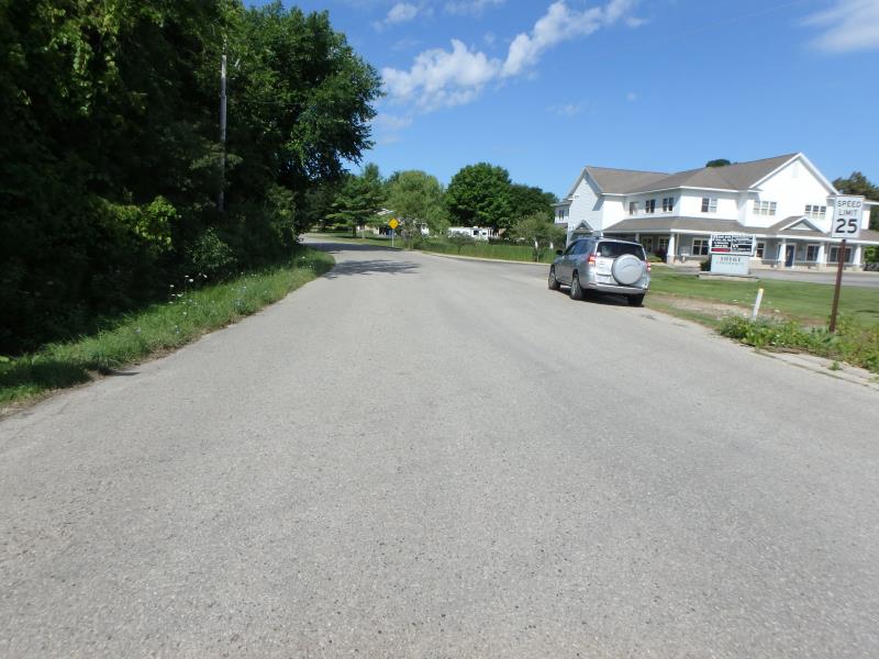
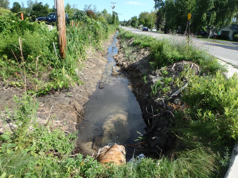
Road Approach - Left
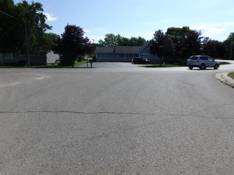
Road Approach - Right
Crossing Information
Type of Crossing: culvert(s)
Number of Structures: 1
Structure Shape: Round
Inlet Type: Apron
Outlet Type: Freefall into Pool
Structure Material: Metal
Structure Substrate: None
General Conditions: Fair
Structure Interior: corrugated
Dimensions of Structure: Length 49.6 ft.
, Width 1.6 ft.
, Height 1.6 ft.
Perch Height: 0.1 ft.
Structure Inlet
Water Depth: 0.3 ft.
Water Velocity*: 3.2 ft./sec.
Structure Outlet
Water Depth: 0.1 ft.
Water Velocity*: 3.9 ft./sec.
*Water Velocities were measured 0.05 ft. below Surface
(with Meter)
Stream Information
Stream Flow: Less than 1/2 Bankfull
Scour Pool: Length 4.2 ft.
, Width 5.1 ft.
, Depth 1.1 ft.
Riffle Information
Water Depth: 0.15 ft.
Bankfull Width: 12.8 ft.
Wetted Width: 4.9 ft.
Water Velocity: 2 ft./sec.
(Measured with Meter)
Dominant Substrate: Gravel
Road Information
Paved
Private Road
Road Condition: Good
Road Width at Culvert: 35.5 ft.
Location of Low Point: At Stream
Runoff Path: Ditch
Embankments
Upstream
Fill Depth: 1.25 ft.
Slope: 1:1
Downstream
Fill Depth: 2.1 ft.
Slope: Vertical
Approaches
Left Approach
Length: 500 ft.
Slope: 1% to 5%
Vegetation: Partial
LS Factor: 0.64
Erosion: 0.3755 tons/year
Right Approach
Length: 26 ft.
Slope: 1% to 5%
Vegetation: None
LS Factor: 0.214
Erosion: 0.0065 tons/year
Erosion Information
Total Erosion at Crossing: 0.3821 tons/year
Summary Information
Fish Passability 0
�