Road Stream Crossing Site GTBAY_LEE112
West Bay Shoreline & Tributaries Watershed, Unnamed
Scott Hill Rd
Suttons Bay Twp,
Leelanau County
Information collected by:
Site Location
GPS Coordinates: 44.98388822
, -85.65388229
T30N
R11W
Sec 21
Owned by Private
Total Erosion: 2.7305 tons/year
Severity: Severe
Year Inventoried: 2020
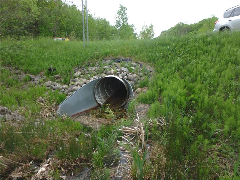
Inlet
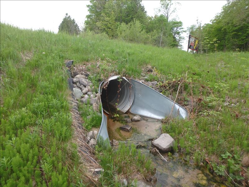
Outlet
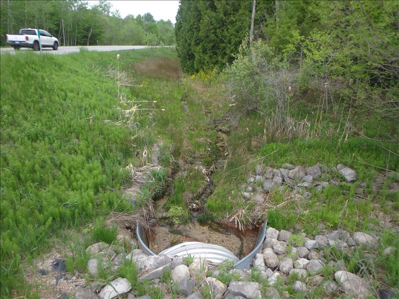
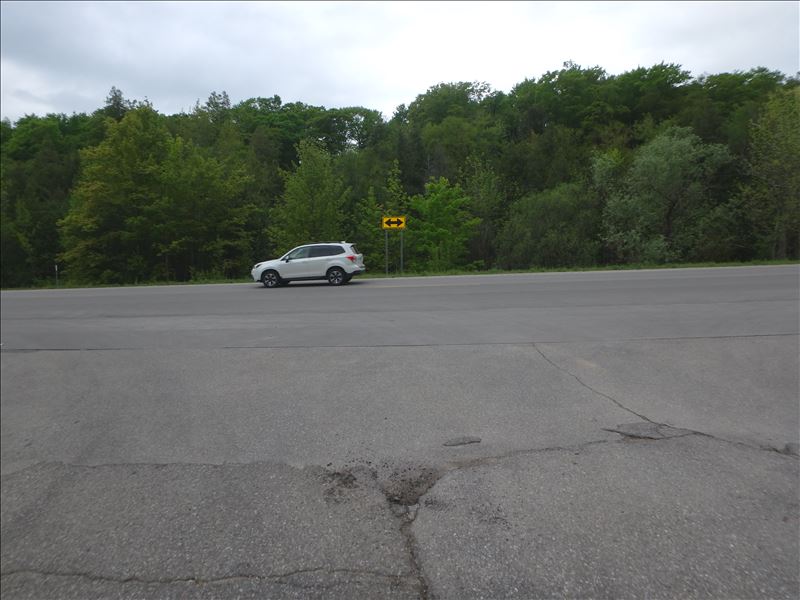
Upstream Conditions
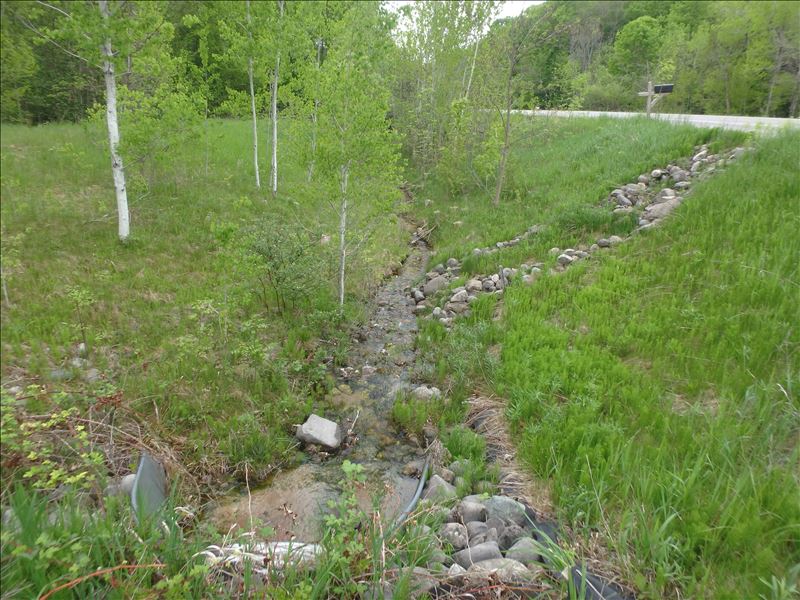
Downstream Conditions
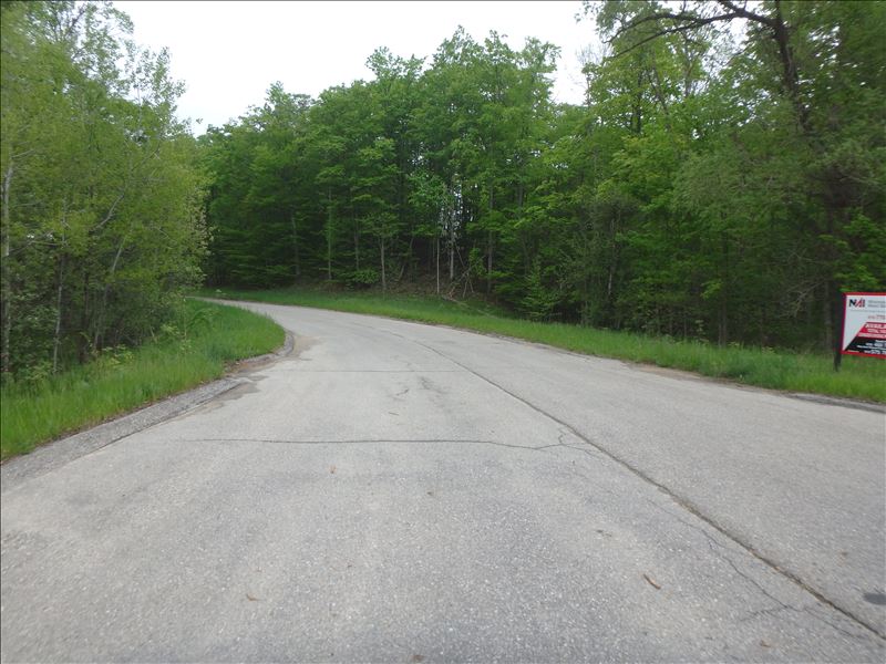
Road Approach - Left
Road Approach - Right
Crossing Information
Type of Crossing: culvert(s)
Number of Structures: 1
Structure Shape: Round
Inlet Type: Apron
Outlet Type: Outlet Apron
Structure Material: Metal
Structure Substrate: None
General Conditions: New
Structure Interior: corrugated
Dimensions of Structure: Length 74 ft.
, Width 3.7 ft.
, Height 4 ft.
Structure Inlet
Water Depth: 0.2 ft.
Water Velocity*: 1.2 ft./sec.
Structure Outlet
Water Depth: 0.15 ft.
Water Velocity*: 1.8 ft./sec.
*Water Velocities were measured 0.08 ft. below Surface
(with Meter)
Stream Information
Stream Flow: Less than 1/2 Bankfull
Riffle Information
Water Depth: 0.1 ft.
Bankfull Width: 9.9 ft.
Wetted Width: 2.4 ft.
Water Velocity: 2.1 ft./sec.
(Measured with Meter)
Dominant Substrate: Gravel
Road Information
Gravel
Town Road
Road Condition: Good
Road Width at Culvert: 36.3 ft.
Location of Low Point: At Stream
Runoff Path: Roadway
Embankments
Upstream
Fill Depth: 3.65 ft.
Slope: 1:2
Downstream
Fill Depth: 4.2 ft.
Slope: 1:2
Approaches
Left Approach
Length: 66 ft.
Slope: 1% to 5%
Vegetation: Heavy
LS Factor: 0.349
Erosion: 0.2305 tons/year
Right Approach
Length: 500 ft.
Slope: 1% to 5%
Vegetation: Heavy
LS Factor: 0.5
Erosion: 2.5 tons/year
Erosion Information
Total Erosion at Crossing: 2.7305 tons/year
Extent of Erosion: Moderate
Summary Information
Fish Passage is an area of concern for this site.
rapids/culverts change size + waterfall into cisterns
These non-native species were observerd at this site: Swamp Thistle, Goat's Beard, Spotted Knapweed, Bladder Campion, Queen Anne's Lace
�