Road Stream Crossing Site GTBAY_LEE113
West Bay Shoreline & Tributaries Watershed, Unnamed
M-22
Bingham Twp,
Leelanau County
Information collected by:
Site Location
GPS Coordinates: 44.90734762
, -85.63214114
T29N
R11W
Sec 15
Owned by Private
Total Erosion: 0.0035 tons/year
Severity: Minor
Year Inventoried: 2020
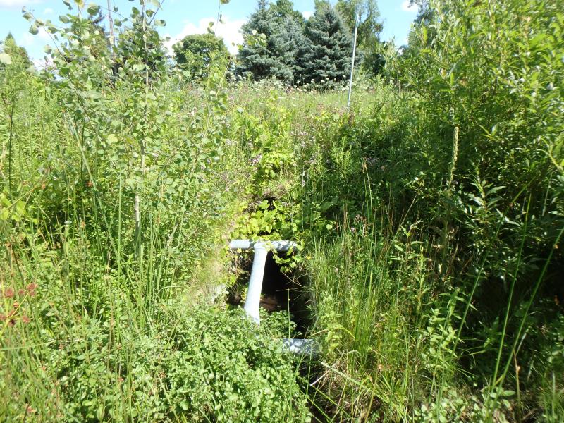
Inlet
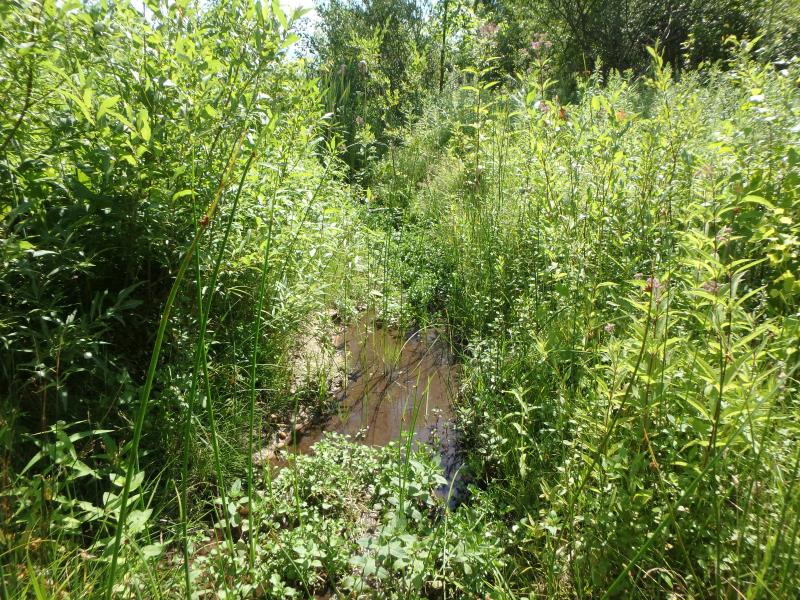
Upstream Conditions
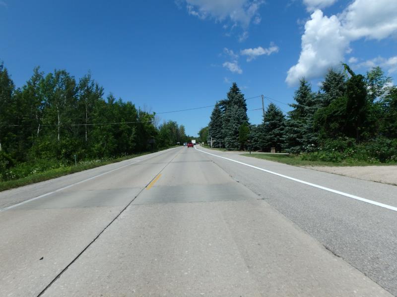
Road Approach - Left
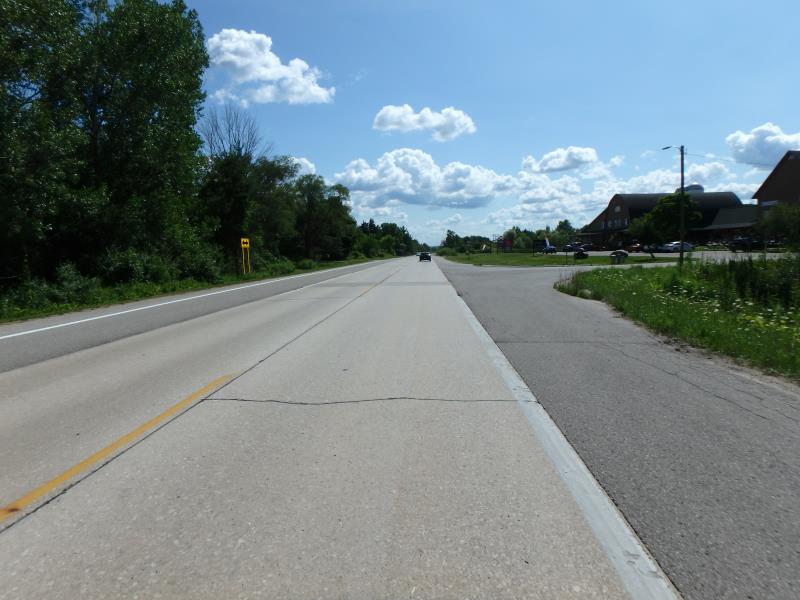
Road Approach - Right
Crossing Information
Type of Crossing: culvert(s)
Number of Structures: 1
Structure Shape: Round
Inlet Type: Apron
Structure Material: Metal
Structure Substrate: None
General Conditions: Good
Structure Interior: smooth
Dimensions of Structure: Length 229 ft.
, Width 2.5 ft.
, Height 2.5 ft.
Structure Inlet
Water Depth: 0.1 ft.
Water Velocity*: 0.9 ft./sec.
Structure Outlet
Water Depth: 0.25 ft.
*Water Velocities were measured at the Surface
(with Meter)
Stream Information
Stream Flow: Less than 1/2 Bankfull
Road Information
Paved
State Road
Road Condition: Good
Road Width at Culvert: 42.1 ft.
Location of Low Point: At Stream
Runoff Path: Ditch
Embankments
Upstream
Fill Depth: 3.05 ft.
Slope: Less than 1:2
Downstream
Fill Depth: 1.5 ft.
Slope: Vertical
Approaches
Left Approach
Length: 25 ft.
Slope: Less Than 1%
Vegetation: Partial
LS Factor: 0.05
Erosion: 0.0017 tons/year
Right Approach
Length: 25 ft.
Slope: Less Than 1%
Vegetation: Partial
LS Factor: 0.05
Erosion: 0.0017 tons/year
Erosion Information
Total Erosion at Crossing: 0.0035 tons/year
Summary Information
Fish Passage is an area of concern for this site.
�