Road Stream Crossing Site GTBAY_LEE114
West Bay Shoreline & Tributaries Watershed, Unnamed
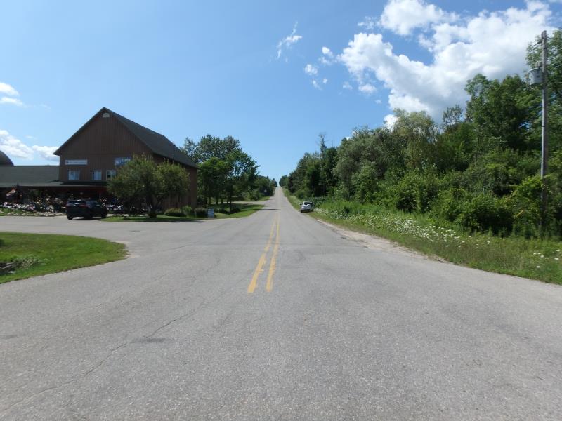
Hilltop Rd
Bingham Twp,
Leelanau County
Information collected by:
Site Location
GPS Coordinates: 44.90687722
, -85.63232915
T29N
R11W
Sec 15
Owned by Private
Total Erosion: 0.896 tons/year
Severity: Minor
Year Inventoried: 2020
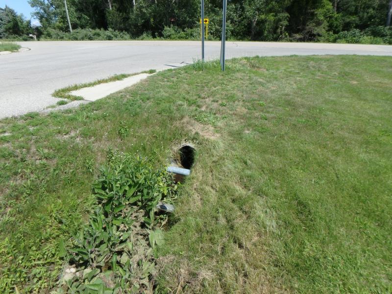
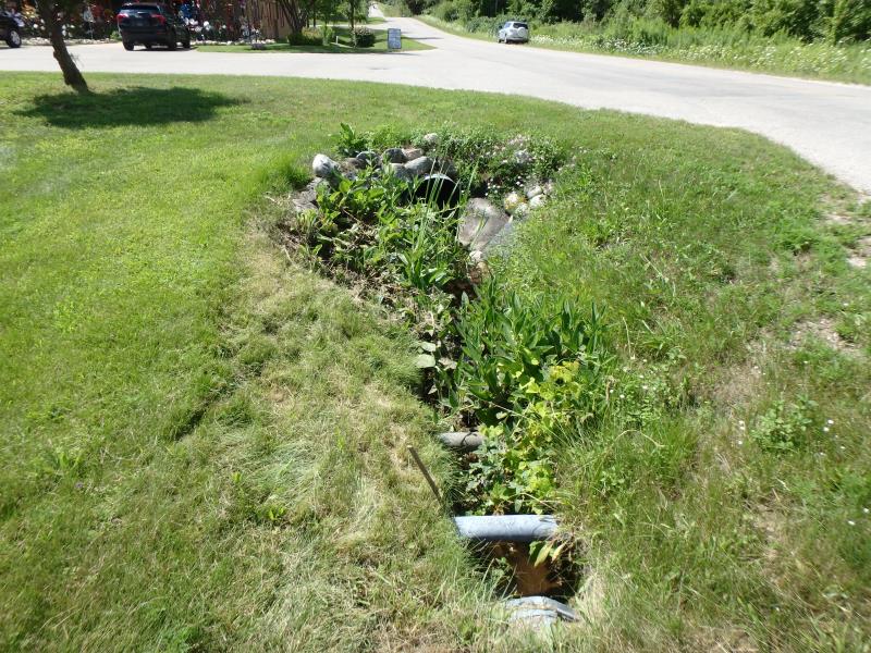
Inlet
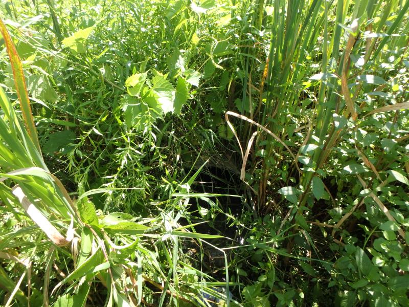
Outlet
Upstream Conditions
Downstream Conditions
Road Approach - Left
Road Approach - Right
Crossing Information
Type of Crossing: culvert(s)
Number of Structures: 1
Structure Shape: Round
Inlet Type: Apron
Outlet Type: Outlet Apron
Structure Material: Metal
Structure Substrate: None
General Conditions: New
Structure Interior: smooth
Dimensions of Structure: Length 85.8 ft.
, Width 1.5 ft.
, Height 1.6 ft.
Structure Inlet
Water Depth: 0.1 ft.
Embedded Depth of Structure: 0 ft.
Water Velocity*: 0 ft./sec.
Structure Outlet
Water Depth: 0.25 ft.
Embedded Depth of Structure: 0 ft.
Water Velocity*: 0 ft./sec.
*Water Velocities were measured 0.05 ft. below Surface
(with Meter)
Additional Comments
Landowner says that west bayshore village parking floods and stormwater washes over the road. MDOT pipes are undesized and take a right turn, inhibiting flow
Stream Information
Stream Flow: Less than 1/2 Bankfull
Road Information
Paved
Town Road
Road Condition: Fair
Road Width at Culvert: 46.8 ft.
Location of Low Point: At Stream
Embankments
Upstream
Fill Depth: 1.8 ft.
Slope: 1:2
Downstream
Fill Depth: 3.1 ft.
Slope: Less than 1:2
Approaches
Left Approach
Length: 313.5 ft.
Slope: 6% to 10%
Vegetation: Partial
LS Factor: 1.805
Erosion: 0.8755 tons/year
Right Approach
Length: 46.2 ft.
Slope: 1% to 5%
Vegetation: None
LS Factor: 0.286
Erosion: 0.0205 tons/year
Erosion Information
Total Erosion at Crossing: 0.896 tons/year
Summary Information
Fish Passage is an area of concern for this site.
low flow, undersized culverts, poor flow
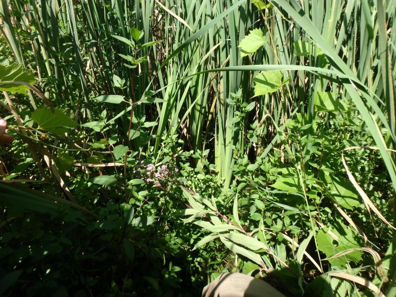
These non-native species were observerd at this site: Queen Anne's Lace
�