Road Stream Crossing Site GTBAY_LEE115
West Bay Shoreline & Tributaries Watershed, Unnamed
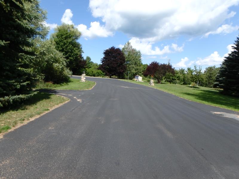
Shoreview Circle
Bingham Twp,
Leelanau County
Information collected by:
Site Location
GPS Coordinates: 44.90645888
, -85.63491639
T29N
R11W
Sec 21
Owned by Local Government
Structure is NOT Perched
Severity: Minor
Year Inventoried: 2020
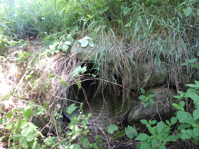
Inlet
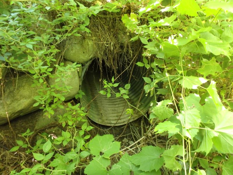
Outlet
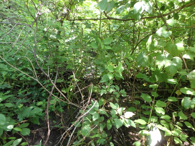
Upstream Conditions
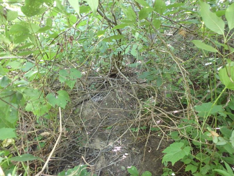
Downstream Conditions
Road Approach - Left
Road Approach - Right
Crossing Information
Type of Crossing: culvert(s)
Number of Structures: 1
Structure Shape: Round
Inlet Type: Headwall
Outlet Type: Freefall into Pool
Structure Material: Metal
Structure Substrate: None
General Conditions: New
Structure Interior: corrugated
Dimensions of Structure: Length 61.2 ft.
, Width 3.1 ft.
, Height 3.2 ft.
Structure is NOT Perched
Water Depth: 0 ft.
Embedded Depth of Structure: 0 ft.
Water Velocity*: 0 ft./sec.
Water Depth: 0 ft.
Embedded Depth of Structure: 0 ft.
Water Velocity*: 0 ft./sec.
Stream Information
Stream Flow: None
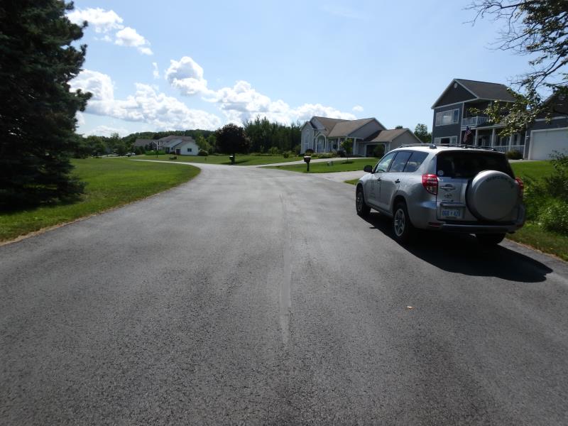
Road Information
Paved
Private Road
Road Condition: Good
Road Width at Culvert: 25.8 ft.
Location of Low Point: At Stream
Runoff Path: Roadway
Embankments
Upstream
Fill Depth: 2.4 ft.
Slope: Vertical
Downstream
Fill Depth: 2.6 ft.
Slope: Vertical
Approaches
Left Approach
Length: 151.8 ft.
Slope: 1% to 5%
Vegetation: Partial
LS Factor: 0.441
Length: 1551 ft.
Slope: 1% to 5%
Vegetation: Partial
Erosion Information
Summary Information
These non-native species were observerd at this site: Queen Anne's Lace, Purple Clover
�