Road Stream Crossing Site GTBAY_LEE117
West Bay Shoreline & Tributaries Watershed, Unnamed
Breithaupt
Elmwood Twp,
Leelanau County
Information collected by:
Site Location
GPS Coordinates: 44.80436194
, -85.6583837
T28N
R11W
Sec 20
Owned by Private
Fish Passability 0.5
Total Erosion: 3.9234 tons/year
Severity: Severe
Year Inventoried: 2020
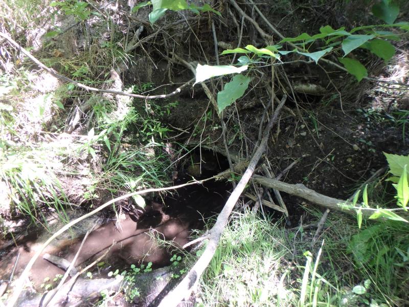
Inlet
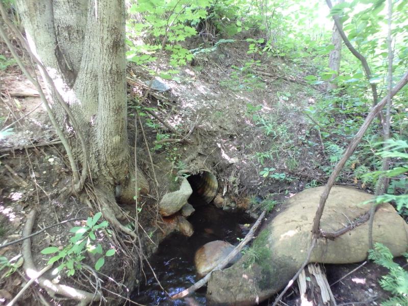
Outlet
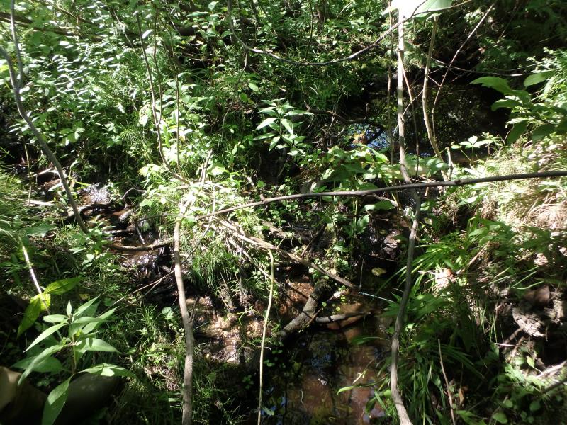
Upstream Conditions
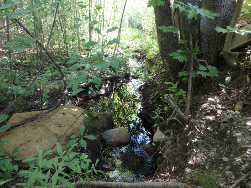
Downstream Conditions
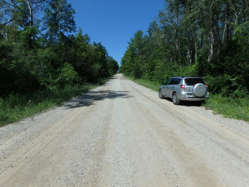
Road Approach - Left
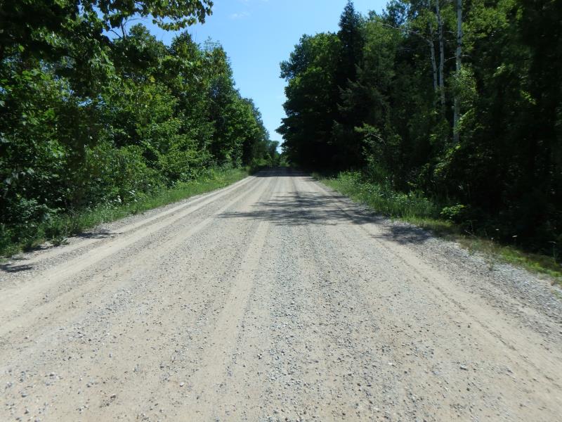
Road Approach - Right
Crossing Information
Type of Crossing: culvert(s)
Number of Structures: 1
Structure Shape: Round
Inlet Type: Projecting
Outlet Type: At Stream Grade
Structure Material: Metal
Structure Substrate: Mixture
General Conditions: Poor
Structure Interior: smooth
Dimensions of Structure: Length 54 ft.
, Width 1.5 ft.
, Height 1.5 ft.
Percentage Plugged:
Inlet: 26% to 50%
Structure Inlet
Water Depth: 0.2 ft.
Embedded Depth of Structure: 0.4 ft.
Water Velocity*: 0 ft./sec.
Structure Outlet
Water Depth: 0.1 ft.
Embedded Depth of Structure: 0.05 ft.
Water Velocity*: 0 ft./sec.
*Water Velocities were measured 1.3 ft. below Surface
(with Meter)
Stream Information
Stream Flow: Less than 1/2 Bankfull
Riffle Information
Water Depth: 0.1 ft.
Bankfull Width: 3.6 ft.
Wetted Width: 1.7 ft.
Water Velocity: 0.4 ft./sec.
Dominant Substrate: Sand
Road Information
Gravel
Town Road
Road Condition: Fair
Road Width at Culvert: 25.1 ft.
Location of Low Point: At Stream
Runoff Path: Ditch
Embankments
Upstream
Fill Depth: 6 ft.
Slope: Vertical
Downstream
Fill Depth: 7.15 ft.
Slope: Vertical
Approaches
Left Approach
Length: 500 ft.
Slope: 1% to 5%
Vegetation: Heavy
LS Factor: 0.5
Erosion: 1.7287 tons/year
Right Approach
Length: 356.4 ft.
Slope: 1% to 5%
Vegetation: Heavy
LS Factor: 0.471
Erosion: 1.1614 tons/year
Erosion Information
Total Erosion at Crossing: 3.9234 tons/year
Extent of Erosion: Severe
Erosion is occurring and corrective actions can be installed to address the problem.
Notes: Upstream has some erosion, but is stabilized with plants.
Location of Erosion | Erosion Dimensions | Eroded Material | Material Eroded | Total Erosion | ||
facing downstream | Length | Width | Depth | Reaching Stream? | (tons/year) | |
Right Downstream Embankment |
7.7 ft. |
9.2 ft. |
6.1 ft. |
yes |
Sand |
1.0333 |
Summary Information
Fish Passability 0.5
Erosion is an area of concern for this site.
Severe erosion and LOTS of trash
These non-native species were observerd at this site: Queen Anne's Lace
�