Road Stream Crossing Site GTBAY_MC002
Mitchell Creek Watershed, Mitchell Creek
3 Mile Rd
Acme Twp,
Grand Traverse County
Information collected by:
Site Location
GPS Coordinates: 44.748177
, -85.558613
T27N
R10W
Sec 07
Owned by State
Private
Private
Total Erosion: 0.0385 tons/year
Severity: Minor
Year Inventoried: 2020
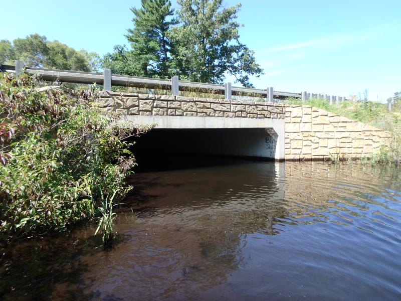
Inlet
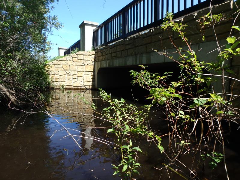
Outlet
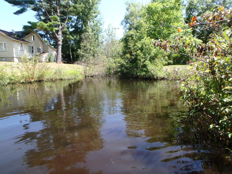
Upstream Conditions
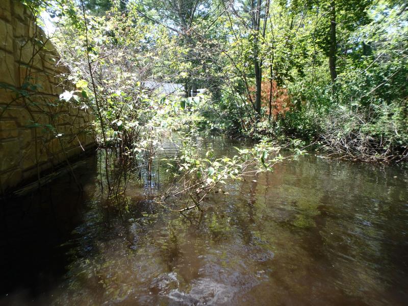
Downstream Conditions
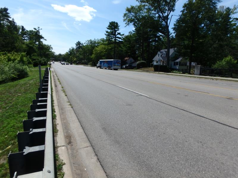
Road Approach - Left
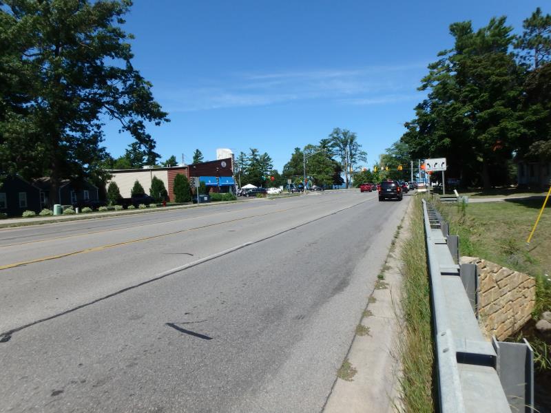
Road Approach - Right
Crossing Information
Type of Crossing: Bridge
Structure Shape: Open Bottom Square/Rectangle
Inlet Type: Wingwall 10-30 Degree
Outlet Type: At Stream Grade
Structure Material: Concrete
Structure Substrate: Sand
General Conditions: Good
Structure Interior: smooth
Dimensions of Structure: Length 88 ft.
, Width 20.7 ft.
, Height 8.1 ft.
Structure Inlet
Water Depth: 4 ft.
Embedded Depth of Structure: 0 ft.
Water Velocity*: 0.1 ft./sec.
Structure Outlet
Water Depth: 2.7 ft.
Embedded Depth of Structure: 0 ft.
Water Velocity*: 0.1 ft./sec.
*Water Velocities were measured 2.4 ft. below Surface
(with Meter)
Stream Information
Stream Flow: Less than Bankfull
Road Information
Paved
County Road
Road Condition: Good
Road Width at Culvert: 63 ft.
Location of Low Point: Other
Runoff Path: Roadway
Fill Depth: 0 ft.
Slope: Vertical
Fill Depth: 0 ft.
Slope: Vertical
Approaches
Left Approach
Length: 50 ft.
Slope: Less Than 1%
Vegetation: Partial
LS Factor: 0.05
Erosion: 0.0052 tons/year
Right Approach
Length: 50 ft.
Slope: 1% to 5%
Vegetation: Partial
LS Factor: 0.32
Erosion: 0.0333 tons/year
Erosion Information
Total Erosion at Crossing: 0.0385 tons/year
Summary Information
�