Road Stream Crossing Site GTBAY_MC003
Mitchell Creek Watershed, Mitchell Creek
Mitchell Creek Drive
Acme Twp,
Grand Traverse County
Information collected by:
Site Location
GPS Coordinates: 44.74634
, -85.559023
T27N
R10W
Sec 07
Owned by State
Private
Private
Fish Passability 0
Severity: Severe
Year Inventoried: 2020
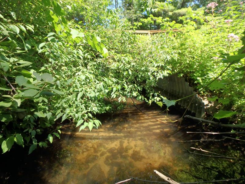
Inlet
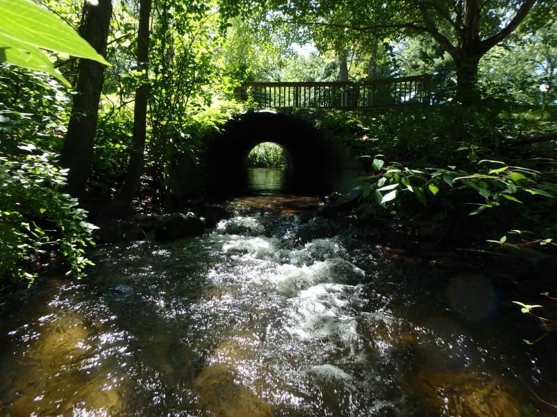
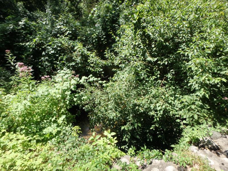
Outlet
Upstream Conditions
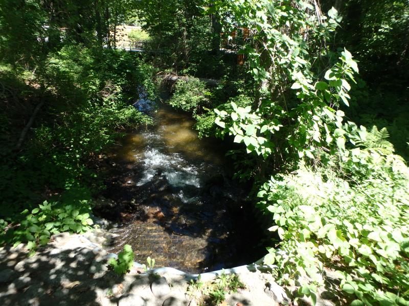
Downstream Conditions
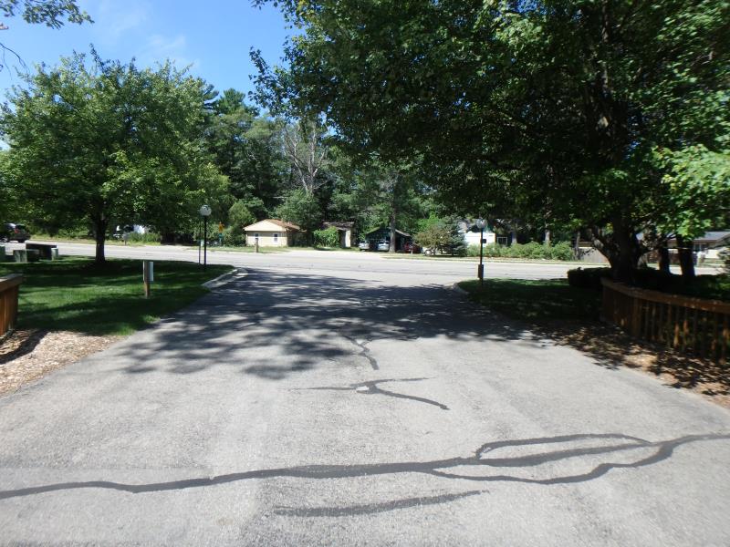
Road Approach - Left
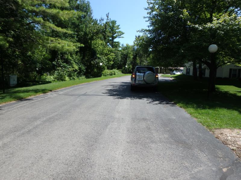
Road Approach - Right
Crossing Information
Type of Crossing: culvert(s)
Structure Shape: Pipe Arch
Inlet Type: Mitered
Outlet Type: Cascade over Riprap
Structure Material: Metal
Structure Substrate: Rock
General Conditions: Good
Structure Interior: corrugated
Dimensions of Structure: Length 71 ft.
, Width 10.8 ft.
, Height 7.1 ft.
Structure Inlet
Water Depth: 1.2 ft.
Embedded Depth of Structure: 0 ft.
Water Velocity*: 1.6 ft./sec.
Structure Outlet
Water Depth: 0.6 ft.
Embedded Depth of Structure: 0 ft.
Water Velocity*: 3.5 ft./sec.
*Water Velocities were measured 0.7 ft. below Surface
(with Meter)
Stream Information
Stream Flow: Less than Bankfull
Riffle Information
Water Depth: 1 ft.
Bankfull Width: 18.5 ft.
Wetted Width: 15.9 ft.
Water Velocity: 1.2 ft./sec.
(Measured with Meter)
Dominant Substrate: Sand
Road Information
Paved
Private Road
Road Condition: Good
Location of Low Point: Other
Runoff Path: Ditch
Embankments
Upstream
Fill Depth: 1.5 ft.
Slope: Less than 1:2
Downstream
Fill Depth: 1 ft.
Slope: Less than 1:2
Length: 25 ft.
Slope: Less Than 1%
Vegetation: Partial
Length: 25 ft.
Slope: 1% to 5%
Vegetation: Partial
Erosion Information
Summary Information
Fish Passability 0
These non-native species were observerd at this site: Myrtle
�