Road Stream Crossing Site GTBAY_MC008
Mitchell Creek Watershed, Mitchell Creek
N 4 Mile Rd
East Bay Twp,
Grand Traverse County
Information collected by:
Site Location
GPS Coordinates: 44.72539578
, -85.53597037
T27N
R10W
Sec 20
Owned by Private
Fish Passability 0.9
Total Erosion: 0.2504 tons/year
Severity: Minor
Year Inventoried: 2020
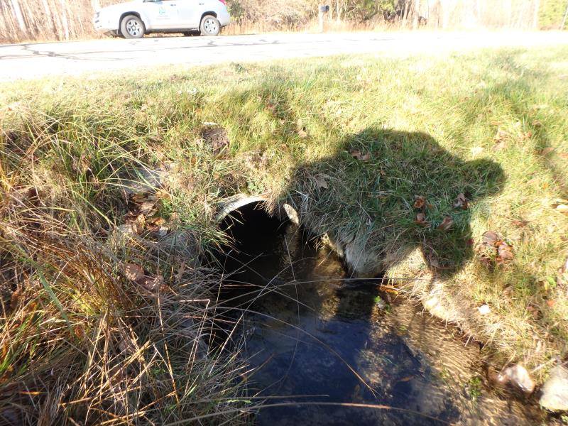
Inlet
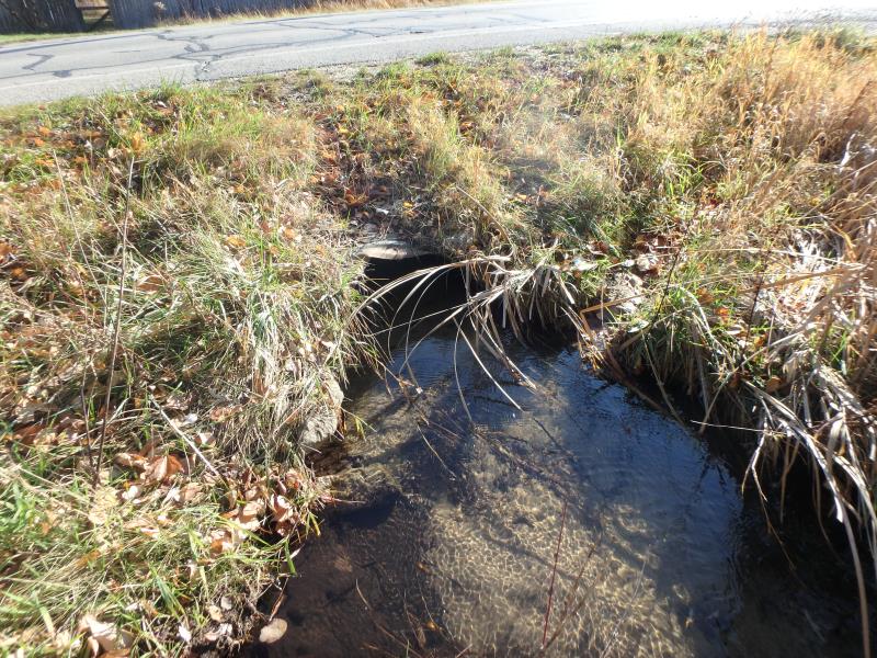
Outlet
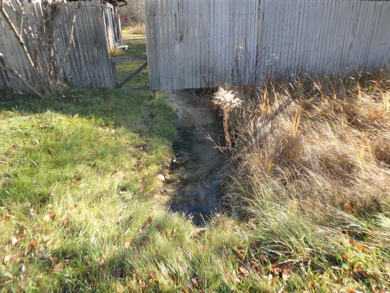
Upstream Conditions
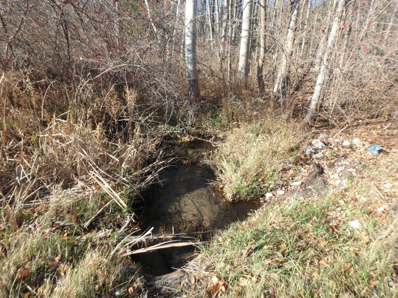
Downstream Conditions
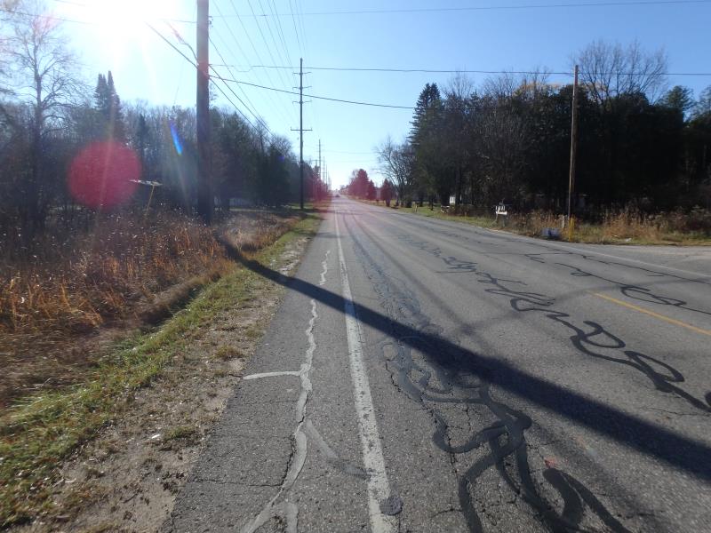
Road Approach - Left
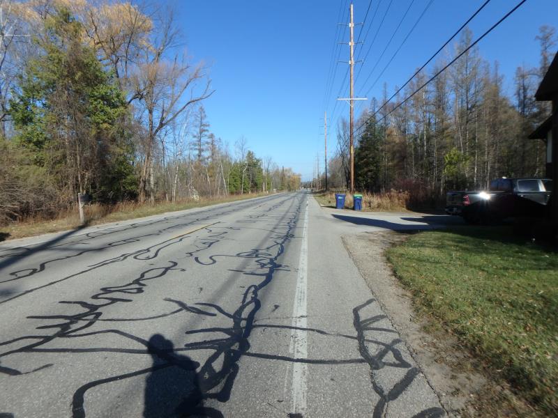
Road Approach - Right
Crossing Information
Type of Crossing: culvert(s)
Number of Structures: 1
Structure Shape: Pipe Arch
Inlet Type: Mitered
Outlet Type: At Stream Grade
Structure Material: Metal
Structure Substrate: Sand
General Conditions: Fair
Structure Interior: corrugated
Dimensions of Structure: Length 45 ft.
, Width 2.7 ft.
, Height 2.1 ft.
Structure Inlet
Water Depth: 0.9 ft.
Embedded Depth of Structure: 0.1 ft.
Water Velocity*: 0.8 ft./sec.
Structure Outlet
Water Depth: 0.5 ft.
Embedded Depth of Structure: 0.5 ft.
Water Velocity*: 0.8 ft./sec.
*Water Velocities were measured 0.7 ft. below Surface
(with Meter)
Additional Comments
"Dam" down stream, fence upstream and no natural reach within area of sampling
Stream Information
Stream Flow: Less than Bankfull
Riffle Information
Water Depth: 0.6 ft.
Bankfull Width: 7.5 ft.
Wetted Width: 3.5 ft.
Water Velocity: 0.9 ft./sec.
(Measured with Meter)
Dominant Substrate: Sand
Road Information
Paved
County Road
Road Condition: Good
Road Width at Culvert: 30 ft.
Location of Low Point: Other
Runoff Path: Ditch
Embankments
Upstream
Fill Depth: 1.3 ft.
Slope: Less than 1:2
Downstream
Fill Depth: 1.8 ft.
Slope: Less than 1:2
Approaches
Left Approach
Length: 500 ft.
Slope: 1% to 5%
Vegetation: Heavy
LS Factor: 0.5
Erosion: 0.2479 tons/year
Right Approach
Length: 50 ft.
Slope: Less Than 1%
Vegetation: Partial
LS Factor: 0.05
Erosion: 0.0025 tons/year
Erosion Information
Total Erosion at Crossing: 0.2504 tons/year
Summary Information
Fish Passability 0.9
These non-native species were observerd at this site: Queen Anne's Lace
�