Road Stream Crossing Site GTBAY_MC030
Mitchell Creek Watershed, Mitchell Creek
Business Park Drive
East Bay Twp,
Grand Traverse County
Information collected by:
Site Location
GPS Coordinates: 44.738746
, -85.547916
T27N
R10W
Sec 17
Owned by Private
Fish Passability 0.9
Total Erosion: 0.3853 tons/year
Severity: Minor
Year Inventoried: 2020
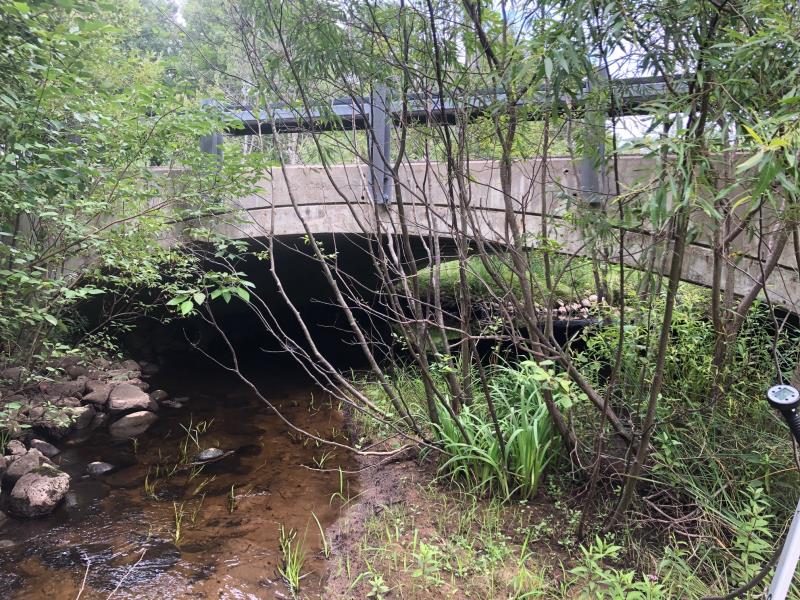
Inlet
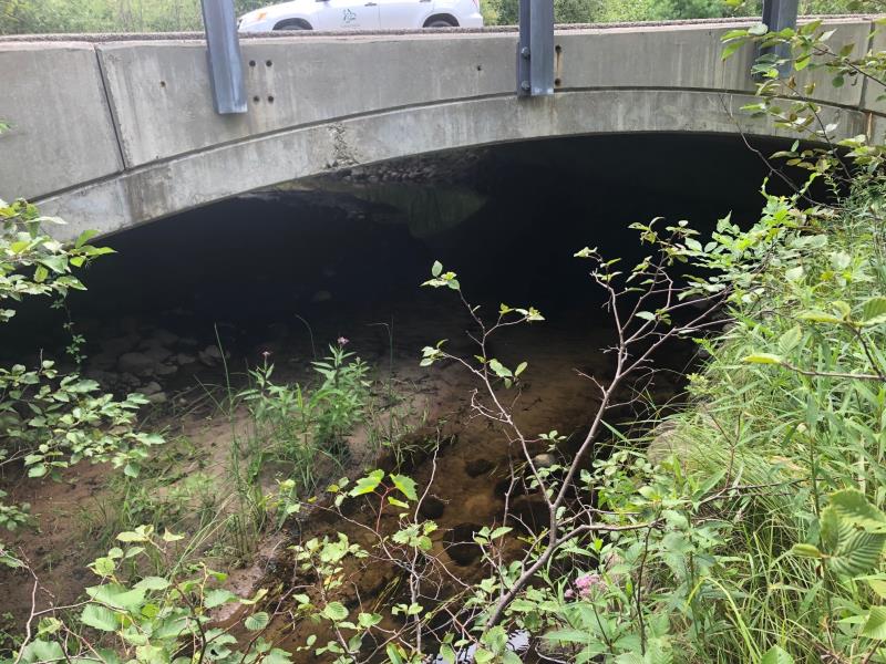
Outlet
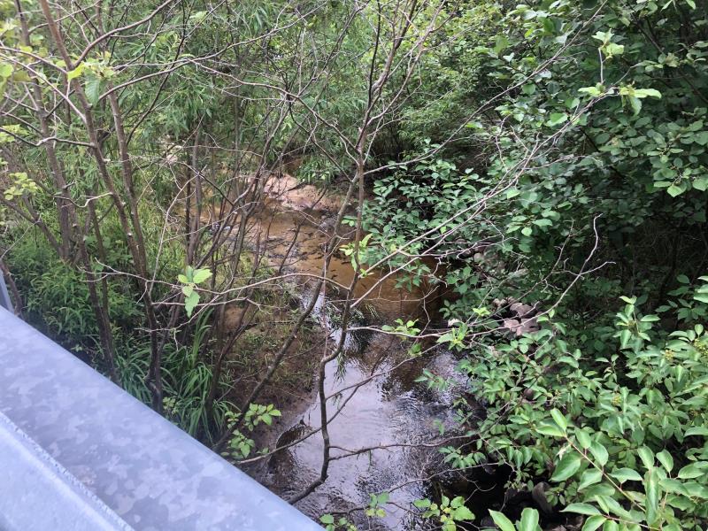
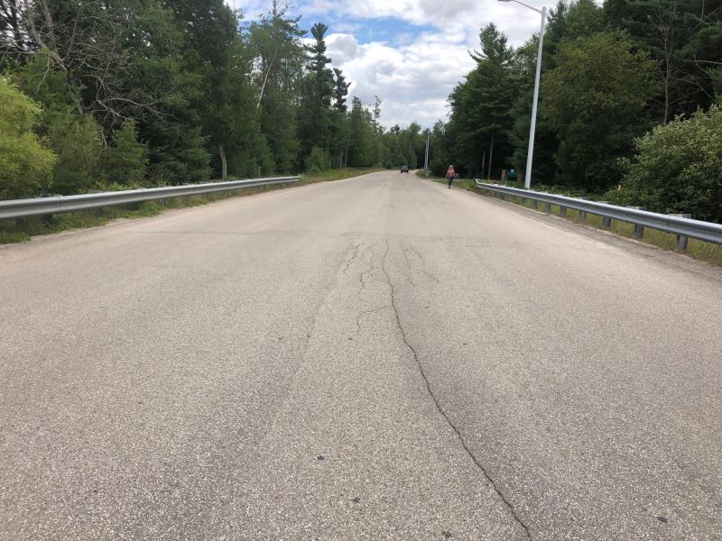
Upstream Conditions
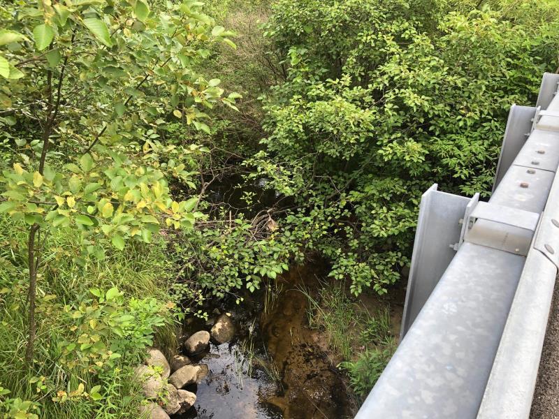
Downstream Conditions
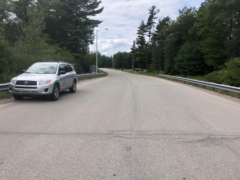
Road Approach - Left
Road Approach - Right
Crossing Information
Type of Crossing: Bridge
Structure Shape: Open Bottom Arch
Inlet Type: Wingwall 10-30 Degree
Outlet Type: At Stream Grade
Structure Material: Concrete
Structure Substrate: Mixture
General Conditions: Good
Structure Interior: smooth
Dimensions of Structure: Length 38 ft.
, Width 32 ft.
, Height 5.7 ft.
Structure Inlet
Water Depth: 0.8 ft.
Embedded Depth of Structure: 0 ft.
Water Velocity*: 0.3 ft./sec.
Structure Outlet
Water Depth: 0.6 ft.
Embedded Depth of Structure: 0 ft.
Water Velocity*: 0.5 ft./sec.
*Water Velocities were measured 0.5 ft. below Surface
(with Meter)
Stream Information
Stream Flow: Less than 1/2 Bankfull
Riffle Information
Water Depth: 0.4 ft.
Bankfull Width: 12.3 ft.
Wetted Width: 5.9 ft.
Water Velocity: 1 ft./sec.
(Measured with Meter)
Dominant Substrate: Sand
Road Information
Paved
Private Road
Road Condition: Good
Road Width at Culvert: 36 ft.
Location of Low Point: Other
Runoff Path: Roadway
Fill Depth: 0 ft.
Slope: Vertical
Fill Depth: 0 ft.
Slope: Vertical
Approaches
Left Approach
Length: 75 ft.
Slope: Less Than 1%
Vegetation: Partial
LS Factor: 0.05
Erosion: 0.0045 tons/year
Right Approach
Length: 500 ft.
Slope: 1% to 5%
Vegetation: Partial
LS Factor: 0.64
Erosion: 0.3808 tons/year
Erosion Information
Total Erosion at Crossing: 0.3853 tons/year
Summary Information
Fish Passability 0.9
These non-native species were observerd at this site: Spotted Knapweed, Reed Canary Grass, Autumn Olive
�