Road Stream Crossing Site GTBAY_MCT014
Mitchell Creek Watershed, Unnamed Tributary to Mitchell Creek
Hammond Rd
East Bay Twp,
Grand Traverse County
Information collected by:
Site Location
GPS Coordinates: 44.71514328
, -85.57145985
T27N
R10W
Sec 19
Owned by Private
Fish Passability 0.5
Total Erosion: 1.0744 tons/year
Severity: Moderate
Year Inventoried: 2020
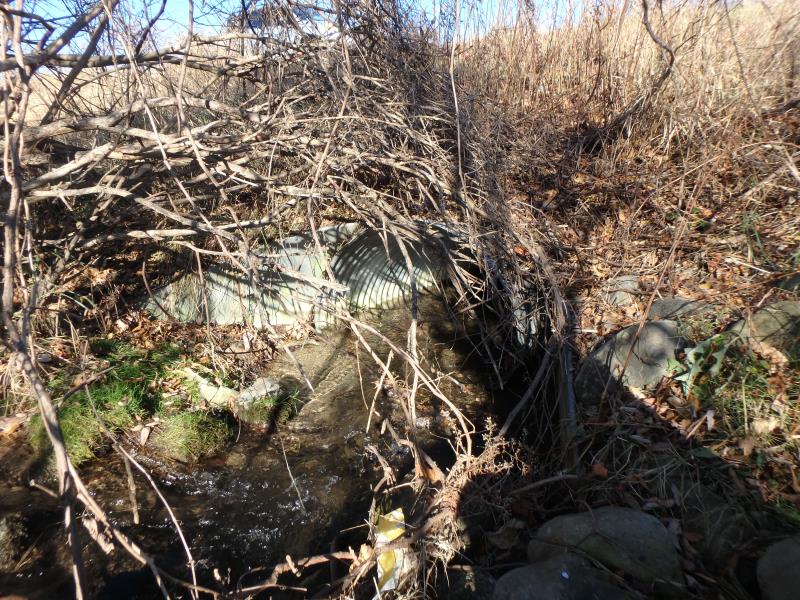
Inlet
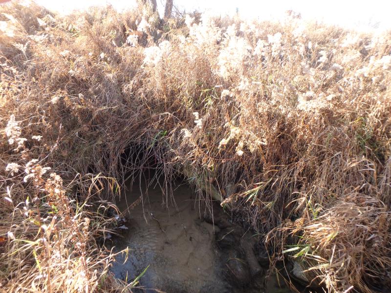
Outlet
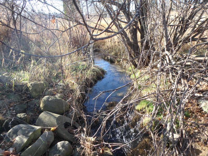
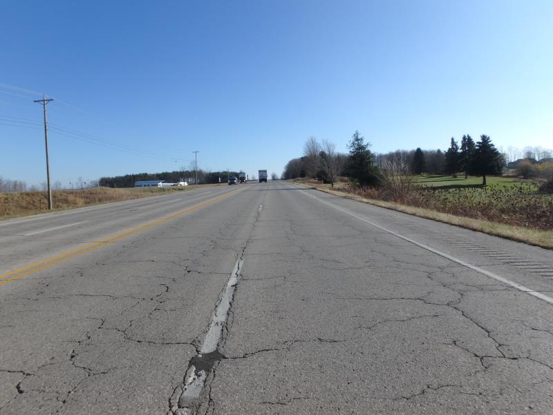
Upstream Conditions
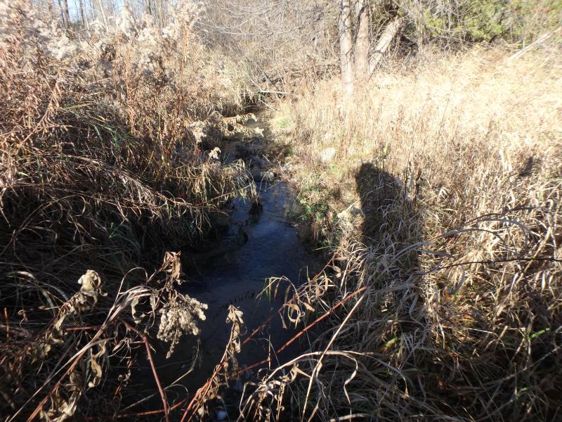
Downstream Conditions
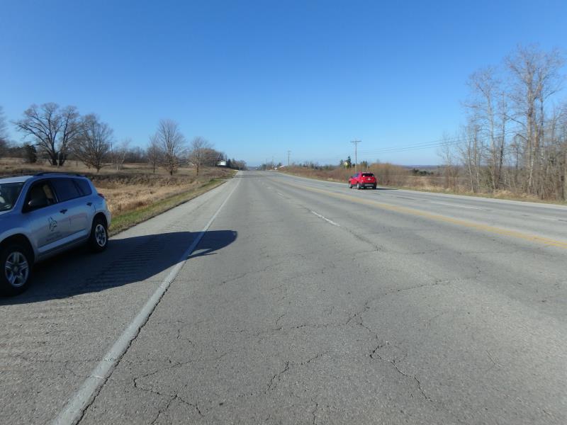
Road Approach - Left
Road Approach - Right
Crossing Information
Type of Crossing: culvert(s)
Number of Structures: 1
Structure Shape: Pipe Arch
Inlet Type: Apron
Outlet Type: Outlet Apron
Structure Material: Metal
Structure Substrate: Sand
General Conditions: Good
Structure Interior: corrugated
Dimensions of Structure: Length 116.4 ft.
, Width 3.8 ft.
, Height 2.9 ft.
Structure Inlet
Water Depth: 0.45 ft.
Embedded Depth of Structure: 0 ft.
Water Velocity*: 2.4 ft./sec.
Structure Outlet
Water Depth: 0.35 ft.
Embedded Depth of Structure: 0.4 ft.
Water Velocity*: 1.6 ft./sec.
*Water Velocities were measured 0.25 ft. below Surface
(with Meter)
Stream Information
Stream Flow: Less than Bankfull
Riffle Information
Water Depth: 0.4 ft.
Bankfull Width: 7.6 ft.
Wetted Width: 3.8 ft.
Water Velocity: 1 ft./sec.
(Measured with Meter)
Dominant Substrate: Sand
Road Information
Paved
County Road
Road Condition: Fair
Road Width at Culvert: 65 ft.
Location of Low Point: At Stream
Runoff Path: Ditch
Embankments
Upstream
Fill Depth: 6 ft.
Slope: Less than 1:2
Downstream
Fill Depth: 5.5 ft.
Slope: Less than 1:2
Approaches
Left Approach
Length: 500 ft.
Slope: 1% to 5%
Vegetation: Heavy
LS Factor: 0.5
Erosion: 0.5372 tons/year
Right Approach
Length: 500 ft.
Slope: 1% to 5%
Vegetation: Heavy
LS Factor: 0.5
Erosion: 0.5372 tons/year
Erosion Information
Total Erosion at Crossing: 1.0744 tons/year
Summary Information
Fish Passability 0.5
These non-native species were observerd at this site: Burdock
�