Road Stream Crossing Site GTBAY_MCT026
Mitchell Creek Watershed, Unnamed Tributary to Mitchell Creek
Woodcreek Blvd
East Bay Twp,
Grand Traverse County
Information collected by:
Site Location
GPS Coordinates: 44.73345187
, -85.55858768
T27N
R10W
Sec 18
Owned by Private
Total Erosion: 0.0306 tons/year
Severity: Minor
Year Inventoried: 2020
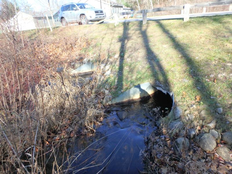
Inlet
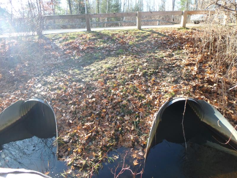
Outlet
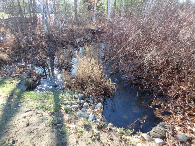
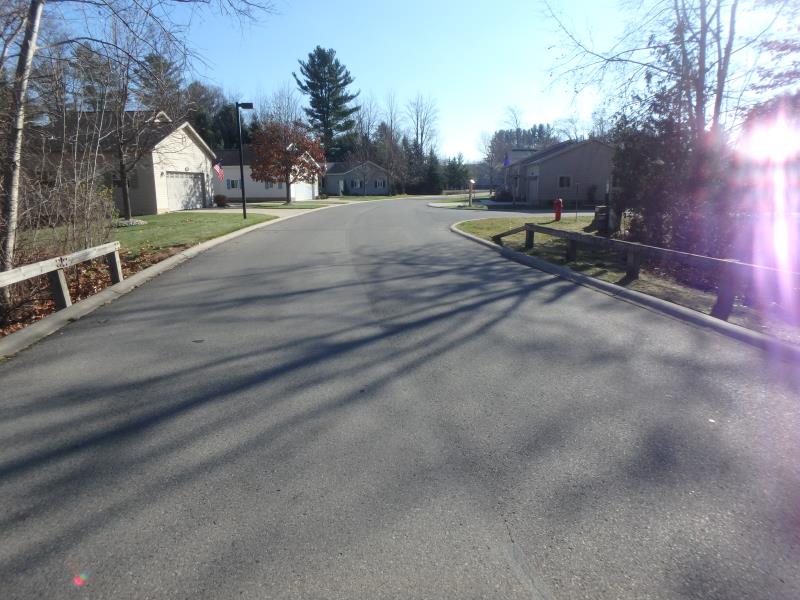
Upstream Conditions
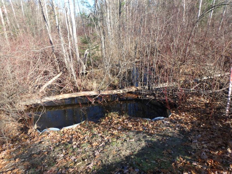
Downstream Conditions
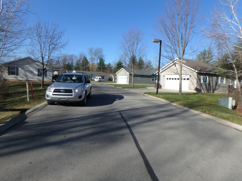
Road Approach - Left
Road Approach - Right
Crossing Information
Type of Crossing: culvert(s)
Number of Structures: 2
Structure Shape: Round
Inlet Type: Apron
Outlet Type: Outlet Apron
Structure Material: Metal
Structure Substrate: None
General Conditions: Good
Multiple Culverts/Spans | ||||
Culvert/Span | Width | Length | Height | Material |
1 |
2.5 ft. |
50 ft. |
2.5 ft. |
Metal |
2 |
2.5 ft. |
50 ft. |
2.5 ft. |
Metal |
Structure Interior: corrugated
Dimensions of Structure: Length 50 ft.
, Width 2.5 ft.
, Height 2.5 ft.
Structure Inlet
Water Depth: 0.4 ft.
Embedded Depth of Structure: 0.1 ft.
Water Velocity*: 1.9 ft./sec.
Structure Outlet
Water Depth: 0.3 ft.
Embedded Depth of Structure: 0 ft.
Water Velocity*: 1.7 ft./sec.
*Water Velocities were measured 0.2 ft. below Surface
(with Meter)
Additional Comments
Stream braded, no representative section. Water depth and velocity measurements recorded for culvert #1
Stream Information
Stream Flow: Less than 1/2 Bankfull
Road Information
Paved
Private Road
Road Condition: Good
Road Width at Culvert: 23 ft.
Location of Low Point: Other
Runoff Path: Roadway
Embankments
Upstream
Fill Depth: 3.5 ft.
Slope: Less than 1:2
Downstream
Fill Depth: 3.5 ft.
Slope: Less than 1:2
Approaches
Left Approach
Length: 100 ft.
Slope: 1% to 5%
Vegetation: Partial
LS Factor: 0.39
Erosion: 0.0297 tons/year
Right Approach
Length: 25 ft.
Slope: Less Than 1%
Vegetation: Partial
LS Factor: 0.05
Erosion: 0.001 tons/year
Erosion Information
Total Erosion at Crossing: 0.0306 tons/year
Summary Information
�