Road Stream Crossing Site GTBAY_MCT035
Mitchell Creek Watershed, Vanderlip Creek
Driveway to Mitchell Creek Meadows
East Bay Twp,
Grand Traverse County
Information collected by:
Site Location
GPS Coordinates: 44.727265
, -85.555368
T27N
R10W
Sec 20
Owned by Private
Fish Passability 0.9
Total Erosion: 0.0526 tons/year
Severity: Moderate
Year Inventoried: 2020
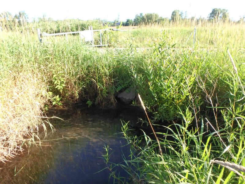
Inlet
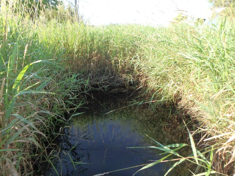
Outlet
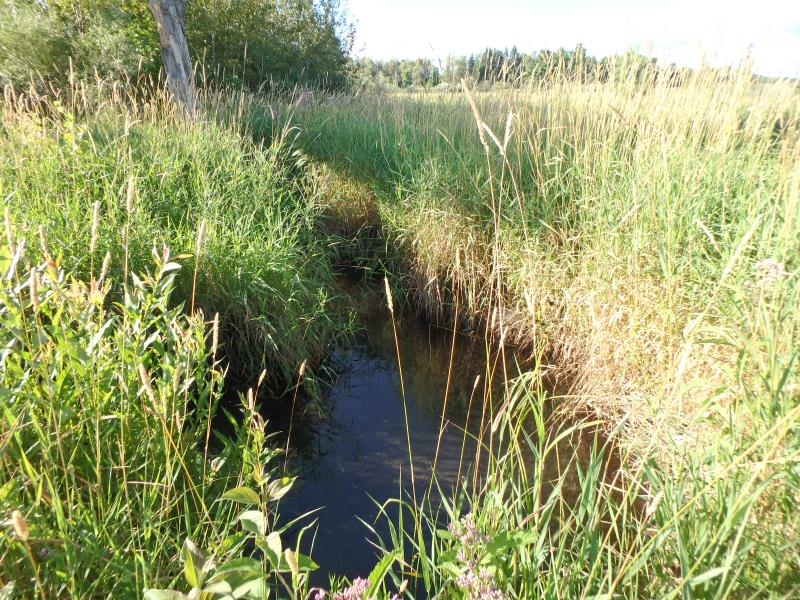
Upstream Conditions
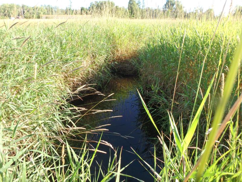
Downstream Conditions
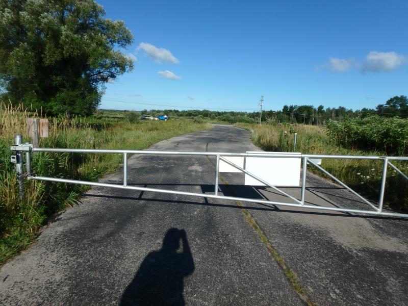
Road Approach - Left
Road Approach - Right
Road Approach - Right
Crossing Information
Type of Crossing: culvert(s)
Structure Shape: Round
Inlet Type: Projecting
Outlet Type: At Stream Grade
Structure Material: Metal
Structure Substrate: Mixture
General Conditions: Good
Structure Interior: corrugated
Dimensions of Structure: Length 40 ft.
, Width 2.5 ft.
, Height 2.5 ft.
Structure Inlet
Water Depth: 0.5 ft.
Embedded Depth of Structure: 0 ft.
Water Velocity*: 0.1 ft./sec.
Structure Outlet
Water Depth: 2.6 ft.
Embedded Depth of Structure: 0.1 ft.
Water Velocity*: 0.1 ft./sec.
*Water Velocities were measured 1.7 ft. below Surface
(with Meter)
Stream Information
Stream Flow: Less than 1/2 Bankfull
Scour Pool: Length 8 ft.
, Width 7 ft.
, Depth 2.5 ft.
Riffle Information
Water Depth: 0.3 ft.
Bankfull Width: 4.1 ft.
Wetted Width: 3.6 ft.
Water Velocity: 0.5 ft./sec.
(Measured with Meter)
Dominant Substrate: Sand
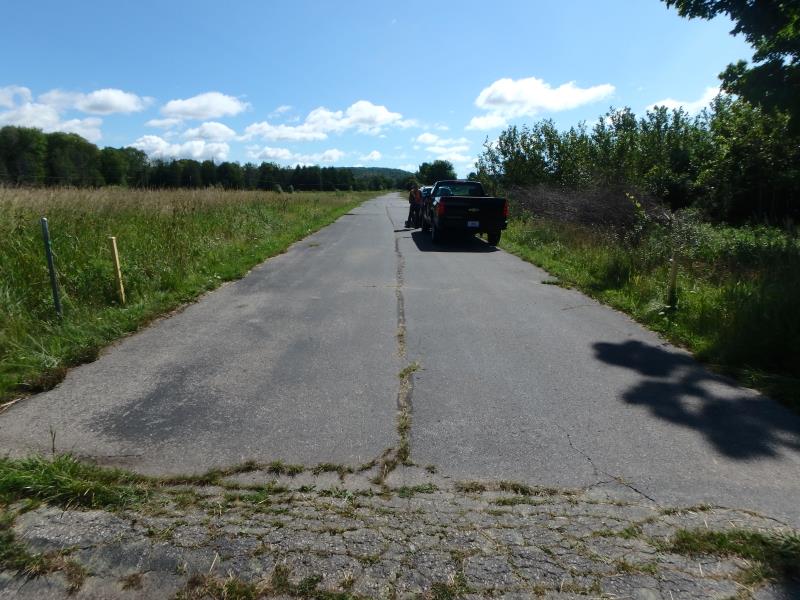
Road Information
Paved
Private Road
Road Condition: Fair
Road Width at Culvert: 19 ft.
Location of Low Point: Other
Runoff Path: Ditch
Embankments
Upstream
Fill Depth: 1.1 ft.
Slope: Less than 1:2
Downstream
Fill Depth: 1.5 ft.
Slope: Less than 1:2
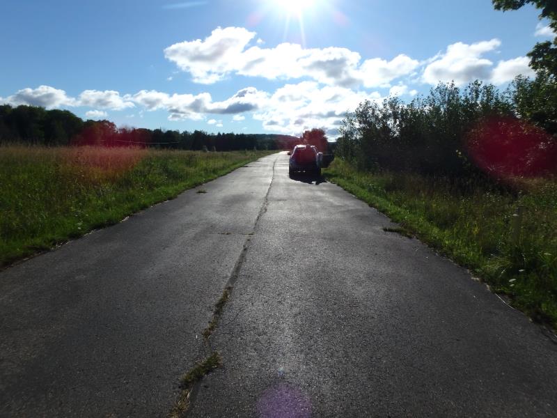
Approaches
Left Approach
Length: 350 ft.
Slope: Less Than 1%
Vegetation: Heavy
LS Factor: 0.05
Erosion: 0.011 tons/year
Right Approach
Length: 25 ft.
Slope: Less Than 1%
Vegetation: Heavy
LS Factor: 0.05
Erosion: 0.0008 tons/year
Erosion Information
Total Erosion at Crossing: 0.0526 tons/year
Extent of Erosion: Minor
Location of Erosion | Erosion Dimensions | Eroded Material | Material Eroded | Total Erosion | ||
facing downstream | Length | Width | Depth | Reaching Stream? | (tons/year) | |
Right Downstream Streambank |
6.5 ft. |
1.5 ft. |
1.2 ft. |
yes |
Sandy Loam |
0.0075 |
Right Upstream Embankment |
5.5 ft. |
2.5 ft. |
1.5 ft. |
yes |
Sandy Loam |
0.0079 |
Right Upstream Streambank |
11.5 ft. |
2.7 ft. |
2.3 ft. |
yes |
Sandy Loam |
0.0254 |
Summary Information
Fish Passability 0.9
These non-native species were observerd at this site: Reed Canary Grass, Spotted Knapweed
�