Road Stream Crossing Site CHAR_EV24
Lake Charlevoix Watershed, Unknown
Eveline Orchard Dr
Eveline Twp,
Charlevoix County
Information collected by:
Site Location
GPS Coordinates: 45.21687
, -85.17012
T33N
R07W
Sec 33
Owned by Private
Perch Height: 0.4 ft.
Total Erosion: 0.7201 tons/year
Severity: Moderate
Year Inventoried: 2011
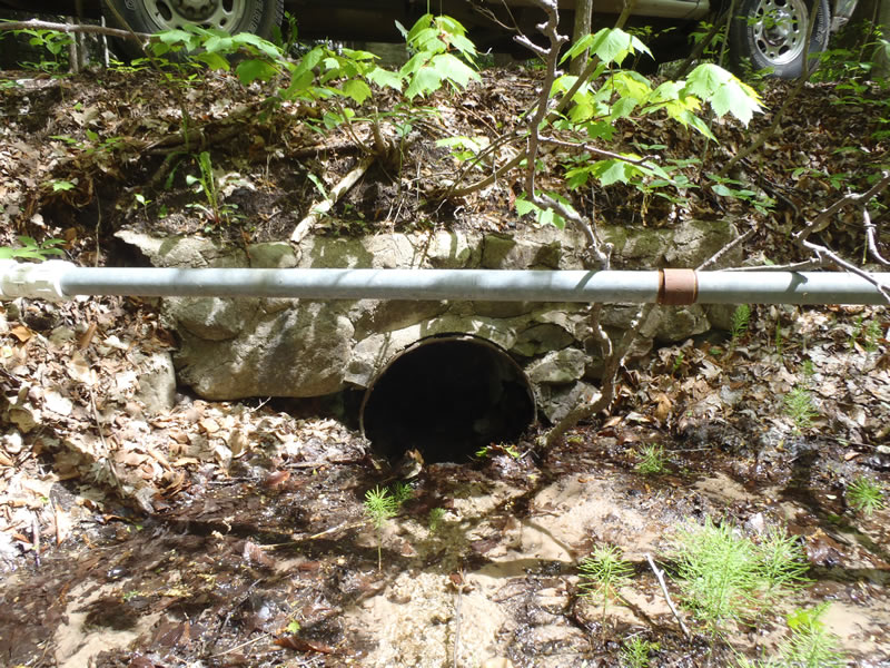
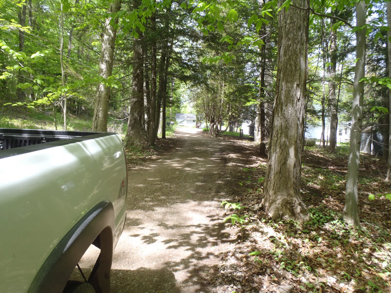
Inlet
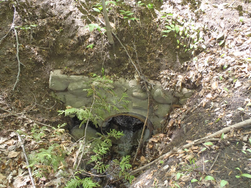
Outlet
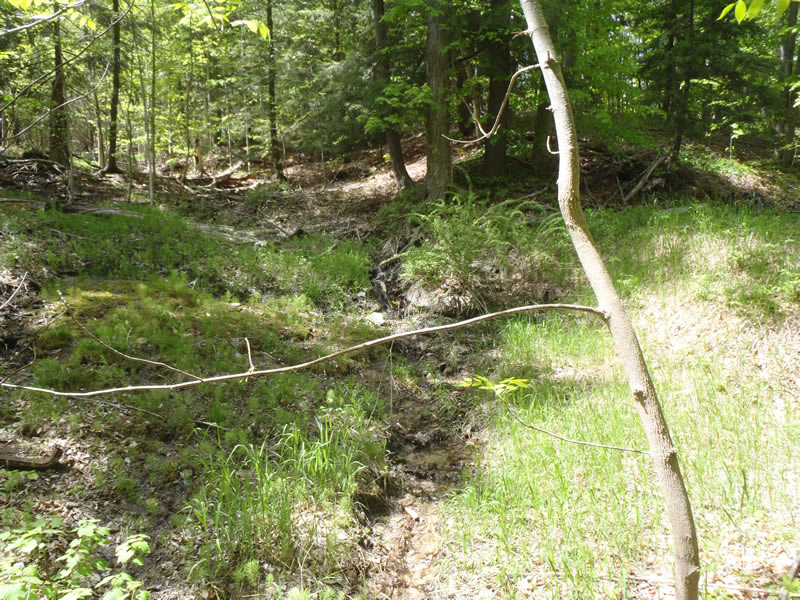
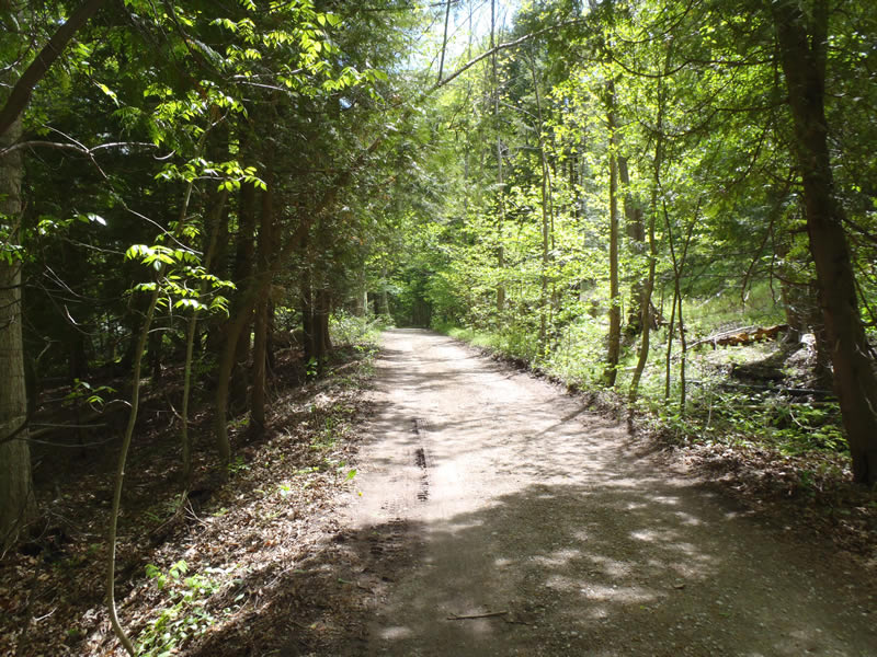
Upstream Conditions

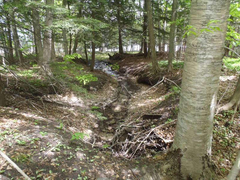
Downstream Conditions
Downstream Conditions

Downstream Conditions

Downstream Conditions

Downstream Conditions

Downstream Conditions

Downstream Conditions

Downstream Conditions

Downstream Conditions
Road Approach - Left
Road Approach - Right
Crossing Information
Type of Crossing: culvert(s)
Number of Structures: 1
Structure Shape: Round
Inlet Type: Headwall
Outlet Type: At Stream Grade
Structure Material: Metal
Structure Substrate: None
General Conditions: Poor
Structure Interior: corrugated
Structure is Rusted through
Dimensions of Structure: Length 20 ft.
, Width 2 ft.
, Height 2 ft.
Percentage Plugged:
Inlet: 26% to 50%
Outlet: 0%
In Pipe: 0%
Perch Height: 0.4 ft.
Structure Inlet
Water Depth: 0.15 ft.
Embedded Depth of Structure: 0 ft.
Water Velocity*: 0.5 ft./sec.
Structure Outlet
Water Depth: 0.1 ft.
Embedded Depth of Structure: 0 ft.
Water Velocity*: 2.2 ft./sec.
*Water Velocities were measured at the Surface
(with Meter)
Stream Information
Stream Flow: Less than 1/2 Bankfull
Riffle Information
Water Depth: 0.17 ft.
Bankfull Width: 4.5 ft.
Wetted Width: 1.5 ft.
Water Velocity: 1.2 ft./sec.
(Measured with Meter)
Dominant Substrate: Sand
Road Information
Gravel
Private Road
Road Condition: Fair
Road Width at Culvert: 11 ft.
Location of Low Point: At Stream
Runoff Path: Roadway
Embankments
Upstream
Fill Depth: 4 ft.
Slope: Vertical
Downstream
Fill Depth: 5.2 ft.
Slope: Vertical
Approaches
Left Approach
Length: 159 ft.
Slope: Less Than 1%
Vegetation: Partial
LS Factor: 0.05
Erosion: 0.0241 tons/year
Right Approach
Length: 387 ft.
Slope: 1% to 5%
Vegetation: Partial
LS Factor: 0.594
Erosion: 0.696 tons/year
Erosion Information
Total Erosion at Crossing: 0.7201 tons/year
Extent of Erosion: Severe
Notes:
Severe erosion exists upstream but to a greater extent downstream.
Summary Information
Erosion is an area of concern for this site.
Severe erosion and poor structural stability.
A future visit to this site is recommended.
To assess the total extent of erosion.
�