Road Stream Crossing Site GTBAY_MCT043
Mitchell Creek Watershed, Vanderlip Creek
Dirt Bike Jump
East Bay Twp,
Grand Traverse County
Information collected by:
Site Location
GPS Coordinates: 44.7261849
, -85.551498
T27N
R10W
Sec 20
Owned by Private
Fish Passability 0
Perch Height: 0.2 ft.
Total Erosion: 0.013 tons/year
Severity: Severe
Year Inventoried: 2020
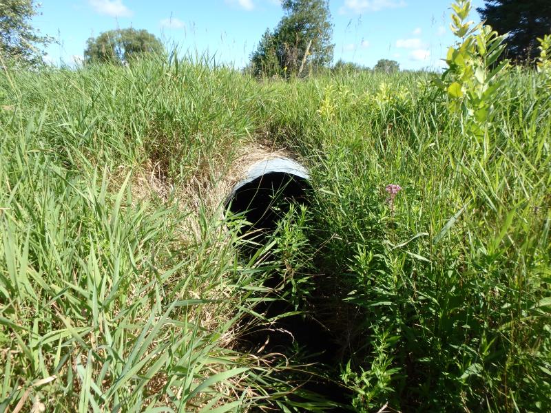
Inlet
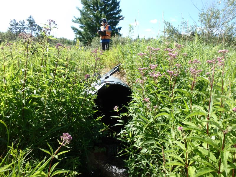
Outlet
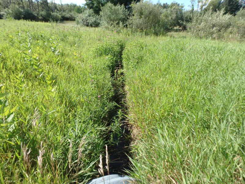
Upstream Conditions

Downstream Conditions
Road Approach - Left
Road Approach - Right
Crossing Information
Type of Crossing: culvert(s)
Structure Shape: Round
Inlet Type: Projecting
Outlet Type: Freefall into Pool
Structure Material: Metal
Structure Substrate: Gravel
General Conditions: Good
Structure Interior: corrugated
Dimensions of Structure: Length 20.2 ft.
, Width 3 ft.
, Height 3 ft.
Percentage Crushed:
Inlet: 0%
Outlet: 1% to 25%
Perch Height: 0.2 ft.
Structure Inlet
Water Depth: 0.4 ft.
Embedded Depth of Structure: 0.1 ft.
Water Velocity*: 0.8 ft./sec.
Structure Outlet
Water Depth: 0.2 ft.
Embedded Depth of Structure: 0 ft.
Water Velocity*: 2.7 ft./sec.
*Water Velocities were measured 0.2 ft. below Surface
(with Meter)
Additional Comments
Perch height not recorded in database. Not passable. Outlet is perched in photo.
Stream Information
Stream Flow: Less than 1/2 Bankfull
Scour Pool: Length 5.3 ft.
, Width 3.7 ft.
, Depth 0.9 ft.
Riffle Information
Water Depth: 0.3 ft.
Bankfull Width: 2.3 ft.
Wetted Width: 2.3 ft.
Water Velocity: 1.1 ft./sec.
(Measured with Meter)
Dominant Substrate: Gravel
Road Information
Native Surface
Other Road
Road Condition: Good
Road Width at Culvert: 12.5 ft.
Location of Low Point: Other
Runoff Path: Ditch
Embankments
Upstream
Fill Depth: 0.3 ft.
Slope: Less than 1:2
Downstream
Fill Depth: 0.2 ft.
Slope: Less than 1:2
Approaches
Left Approach
Length: 25 ft.
Slope: Less Than 1%
Vegetation: Heavy
LS Factor: 0.05
Erosion: 0.0043 tons/year
Right Approach
Length: 25 ft.
Slope: Less Than 1%
Vegetation: Heavy
LS Factor: 0.05
Erosion: 0.0043 tons/year
Erosion Information
Total Erosion at Crossing: 0.013 tons/year
Extent of Erosion: Minor
Notes: 1.5' undercut under culvet outlet
Location of Erosion | Erosion Dimensions | Eroded Material | Material Eroded | Total Erosion | ||
facing downstream | Length | Width | Depth | Reaching Stream? | (tons/year) | |
Right Downtream Ditch |
5.5 ft. |
1 ft. |
0.8 ft. |
yes |
Gravel |
0.0044 |
Summary Information
Fish Passability 0
Fish Passage is an area of concern for this site.
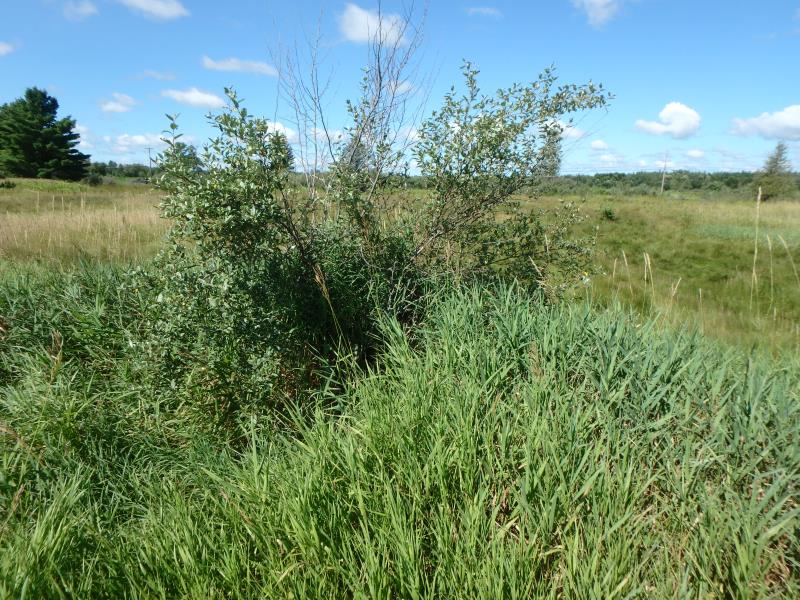
These non-native species were observerd at this site: Reed Canary Grass, Autumn Olive
�