Road Stream Crossing Site GTBAY_MLC001
East Bay Shoreline & Tributaries Watershed, Mudd Lake Creek
Joe Marks Trail
Milton Twp,
Antrim County
Information collected by:
Site Location
GPS Coordinates: 44.981498
, -85.381595
T30N
R9W
Sec 22
Owned by Private
Total Erosion: 0.1063 tons/year
Severity: Minor
Year Inventoried: 2020
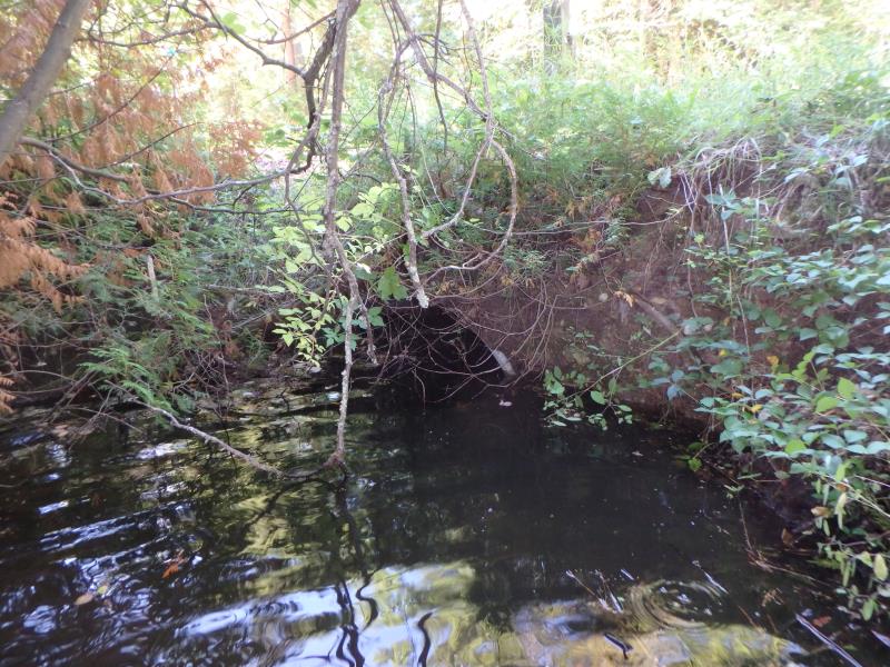
Inlet
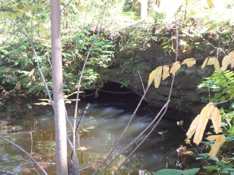
Outlet
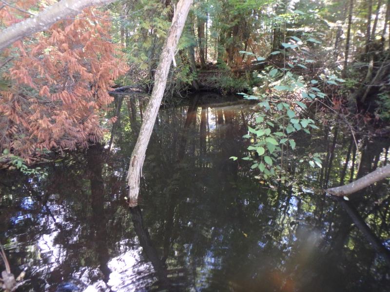
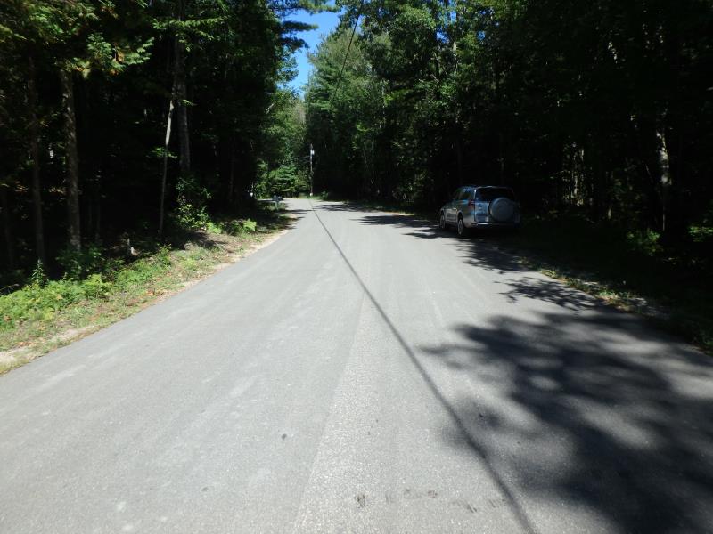
Upstream Conditions
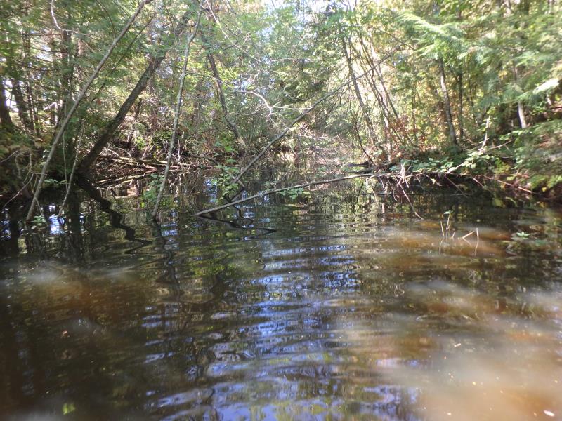
Downstream Conditions
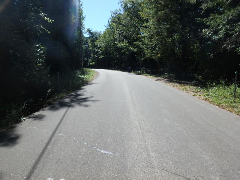
Road Approach - Left
Road Approach - Right
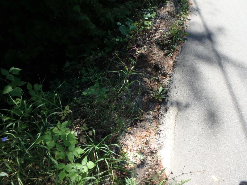
Erosion
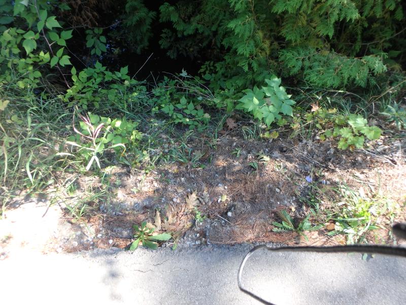
Erosion
Crossing Information
Type of Crossing: culvert(s)
Structure Shape: Round
Inlet Type: Headwall
Outlet Type: At Stream Grade
Structure Material: Metal
Structure Substrate: Gravel
General Conditions: Fair
Structure Interior: corrugated
Dimensions of Structure: Length 34 ft.
, Width 6 ft.
, Height 6 ft.
Structure Inlet
Water Depth: 3.2 ft.
Embedded Depth of Structure: 1.6 ft.
Water Velocity*: 0 ft./sec.
Structure Outlet
Water Depth: 3 ft.
Embedded Depth of Structure: 2 ft.
Water Velocity*: 0 ft./sec.
Stream Information
Stream Flow: Less than Bankfull
Road Information
Paved
Town Road
Road Condition: Good
Road Width at Culvert: 22 ft.
Location of Low Point: Other
Runoff Path: Ditch
Embankments
Upstream
Fill Depth: 3 ft.
Slope: Vertical
Downstream
Fill Depth: 3.4 ft.
Slope: Vertical
Approaches
Left Approach
Length: 300 ft.
Slope: 1% to 5%
Vegetation: Heavy
LS Factor: 0.46
Erosion: 0.1004 tons/year
Right Approach
Length: 25 ft.
Slope: Less Than 1%
Vegetation: Heavy
LS Factor: 0.05
Erosion: 0.0009 tons/year
Erosion Information
Total Erosion at Crossing: 0.1063 tons/year
Extent of Erosion: Minor
Location of Erosion | Erosion Dimensions | Eroded Material | Material Eroded | Total Erosion | ||
facing downstream | Length | Width | Depth | Reaching Stream? | (tons/year) | |
Left Upstream Embankment |
6 ft. |
4 ft. |
0.5 ft. |
yes |
Gravelly Loam |
0.003 |
Right Downstream Embankment |
2 ft. |
2 ft. |
1 ft. |
yes |
Gravelly Loam |
0.002 |
Summary Information
�