Road Stream Crossing Site GTBAY_MLC002
East Bay Shoreline & Tributaries Watershed, Mudd Lake Creek
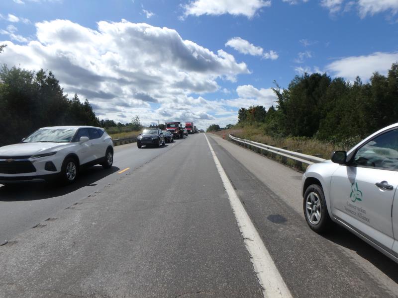
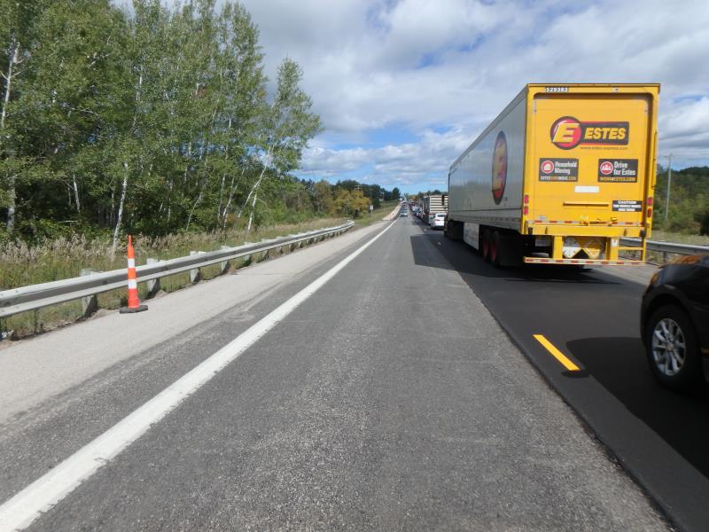
US-31
Milton Twp,
Antrim County
Information collected by:
Site Location
GPS Coordinates: 44.97787
, -85.357801
T30N
R9W
Sec 23
Owned by Private
Fish Passability 0.9
Total Erosion: 0.3589 tons/year
Severity: Minor
Year Inventoried: 2020
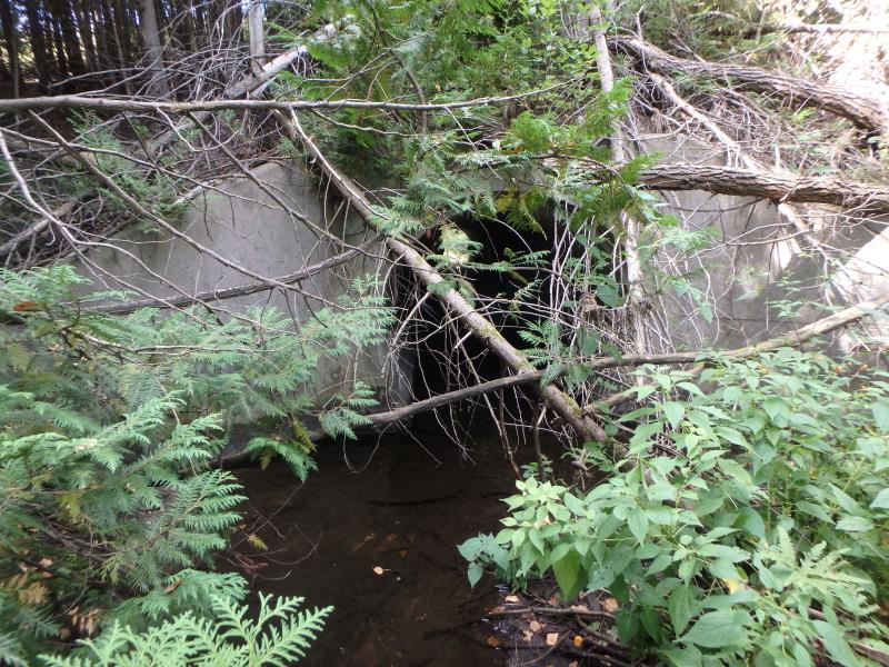
Inlet
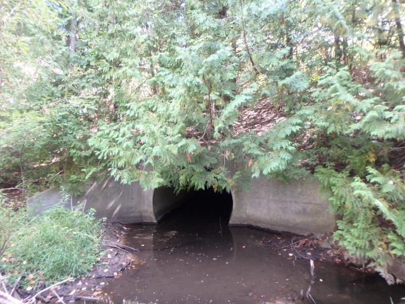
Outlet
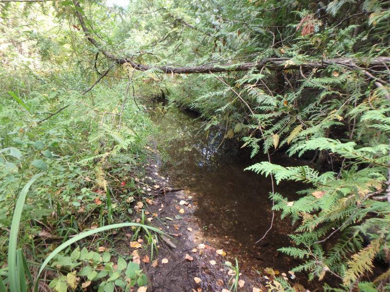
Upstream Conditions
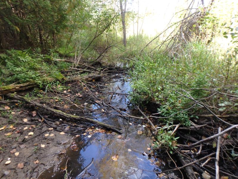
Downstream Conditions
Road Approach - Left
Road Approach - Right
Crossing Information
Type of Crossing: culvert(s)
Structure Shape: Round
Inlet Type: Wingwall 10-30 Degree
Outlet Type: At Stream Grade
Structure Material: Concrete
Structure Substrate: Gravel
General Conditions: Good
Structure Interior: smooth
Dimensions of Structure: Length 142 ft.
, Width 7 ft.
, Height 7 ft.
Structure Inlet
Water Depth: 0.9 ft.
Embedded Depth of Structure: 0.2 ft.
Water Velocity*: 0.1 ft./sec.
Structure Outlet
Water Depth: 0.7 ft.
Embedded Depth of Structure: 1 ft.
Water Velocity*: 0.1 ft./sec.
*Water Velocities were measured 0.4 ft. below Surface
(with Meter)
Stream Information
Stream Flow: Less than 1/2 Bankfull
Riffle Information
Water Depth: 0.2 ft.
Bankfull Width: 6.6 ft.
Wetted Width: 4.6 ft.
Water Velocity: 0.1 ft./sec.
(Measured with Float Test)
Dominant Substrate: Gravel
Road Information
Paved
Federal Road
Road Condition: Good
Road Width at Culvert: 43 ft.
Location of Low Point: Other
Runoff Path: Ditch
Embankments
Upstream
Fill Depth: 20 ft.
Slope: 1:1.5
Downstream
Fill Depth: 20 ft.
Slope: 1:1.5
Approaches
Left Approach
Length: 50 ft.
Slope: Less Than 1%
Vegetation: Heavy
LS Factor: 0.05
Erosion: 0.0036 tons/year
Right Approach
Length: 500 ft.
Slope: 1% to 5%
Vegetation: Heavy
LS Factor: 0.5
Erosion: 0.3554 tons/year
Erosion Information
Total Erosion at Crossing: 0.3589 tons/year
Summary Information
Fish Passability 0.9
�