Road Stream Crossing Site GTBAY_MLE006
East Bay Shoreline & Tributaries Watershed, Mudd Lake Tributary East
Campbell Rd
Milton Twp,
Antrim County
Information collected by:
Site Location
GPS Coordinates: 44.960897
, -85.344753
T30N
R9W
Sec 25
Owned by Private
Perch Height: 0.9 ft.
Total Erosion: 0.3802 tons/year
Severity: Minor
Year Inventoried: 2020
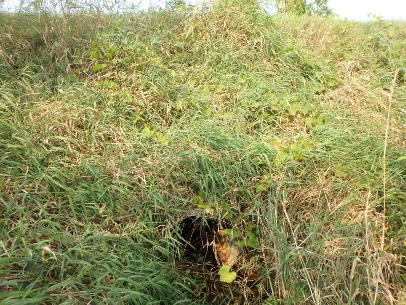
Inlet
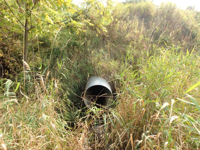
Outlet
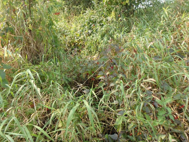
Upstream Conditions
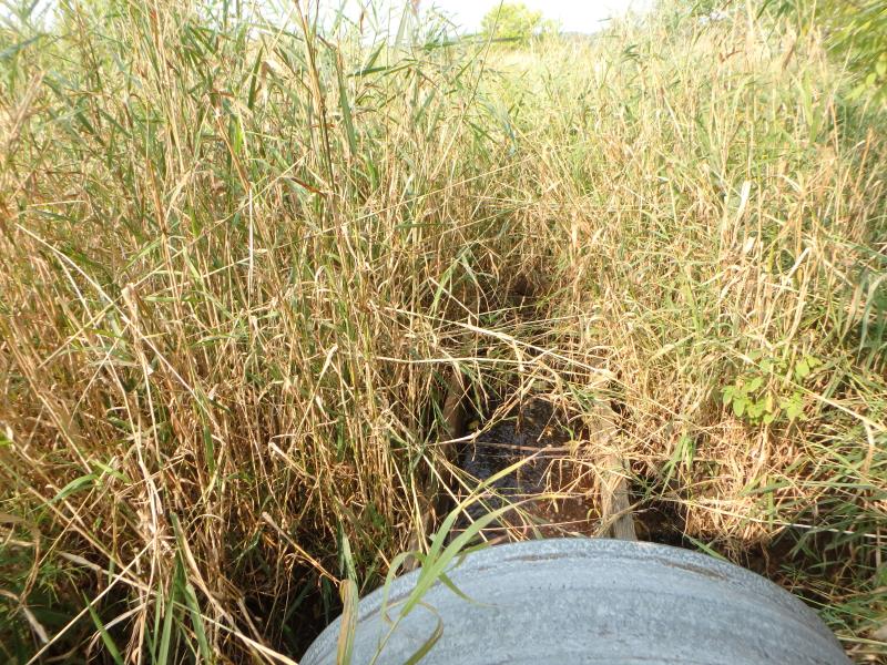
Downstream Conditions
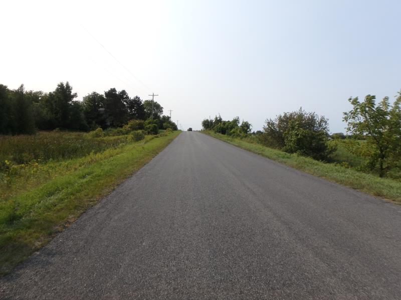
Road Approach - Left
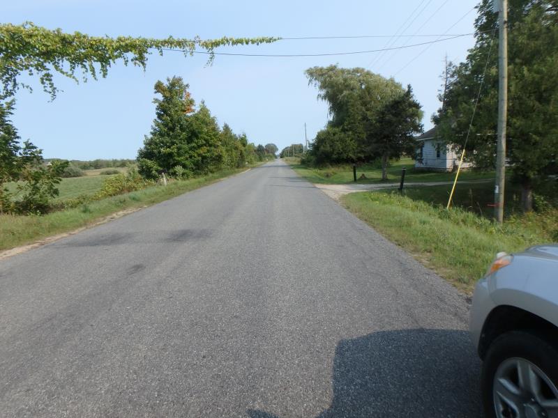
Road Approach - Right
Crossing Information
Type of Crossing: culvert(s)
Structure Shape: Round
Inlet Type: Projecting
Outlet Type: Freefall into Pool
Structure Material: Metal
Structure Substrate: Mixture
General Conditions: Good
Structure Interior: corrugated
Dimensions of Structure: Length 60 ft.
, Width 2 ft.
, Height 2 ft.
Perch Height: 0.9 ft.
Structure Inlet
Water Depth: 0.1 ft.
Embedded Depth of Structure: 0 ft.
Water Velocity*: 0.6 ft./sec.
Structure Outlet
Water Depth: 0.1 ft.
Embedded Depth of Structure: 0 ft.
Water Velocity*: 1.5 ft./sec.
*Water Velocities were measured at the Surface
(with Meter)
Stream Information
Stream Flow: Less than 1/2 Bankfull
Road Information
Paved
County Road
Road Condition: Good
Road Width at Culvert: 23 ft.
Location of Low Point: At Stream
Runoff Path: Ditch
Embankments
Upstream
Fill Depth: 6 ft.
Slope: 1:1
Downstream
Fill Depth: 7 ft.
Slope: 1:1
Approaches
Left Approach
Length: 500 ft.
Slope: 1% to 5%
Vegetation: Heavy
LS Factor: 0.5
Erosion: 0.1901 tons/year
Right Approach
Length: 500 ft.
Slope: 1% to 5%
Vegetation: Heavy
LS Factor: 0.5
Erosion: 0.1901 tons/year
Erosion Information
Total Erosion at Crossing: 0.3802 tons/year
Summary Information
These non-native species were observerd at this site: Spotted Knapweed, Autumn Olive
�