Road Stream Crossing Site GTBAY_MLW004
East Bay Shoreline & Tributaries Watershed, Mudd Lake Tributary West
Cairn Hwy
Milton Twp,
Antrim County
Information collected by:
Site Location
GPS Coordinates: 44.973191
, -85.354342
T30N
R9W
Sec 26
Owned by Private
Fish Passability 0.5
Total Erosion: 0.191 tons/year
Severity: Moderate
Year Inventoried: 2020
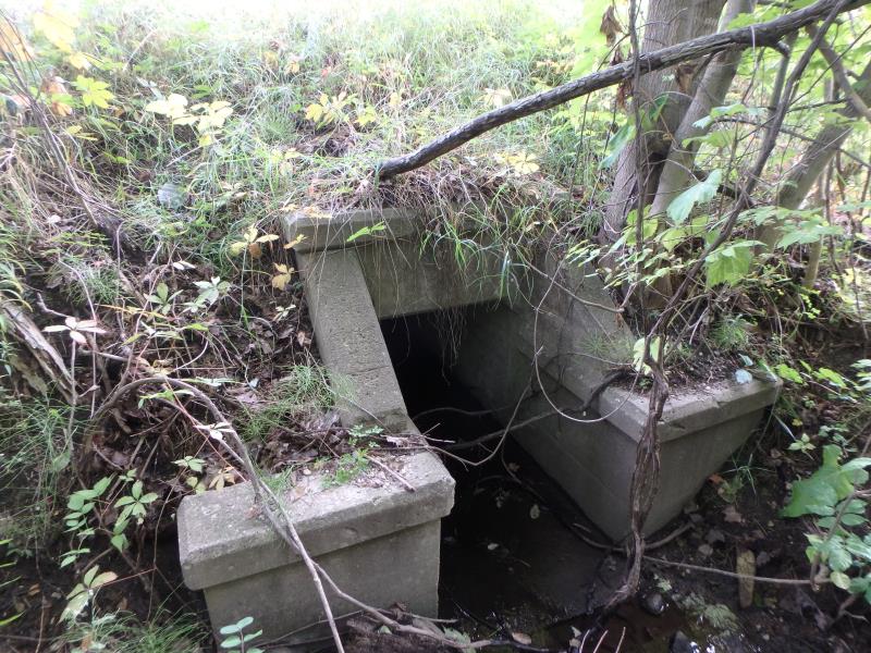
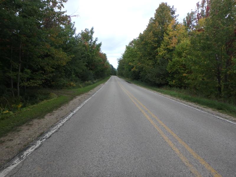
Inlet
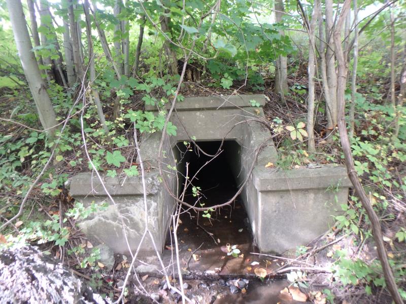
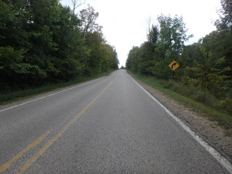
Outlet
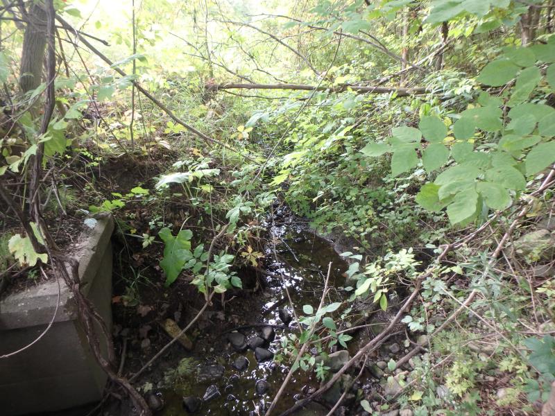
Upstream Conditions
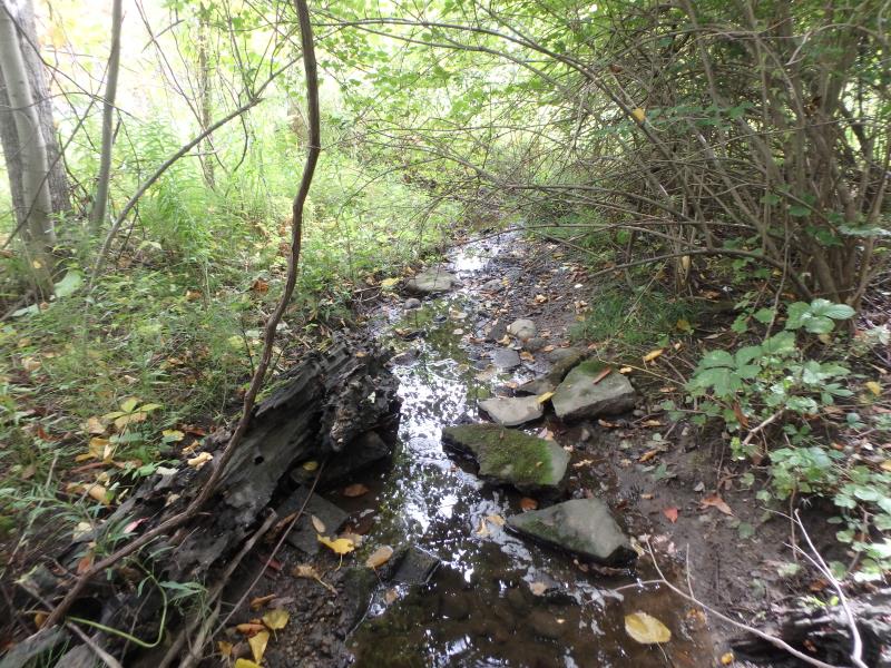
Downstream Conditions
Road Approach - Left
Road Approach - Right
Crossing Information
Type of Crossing: culvert(s)
Structure Shape: Square/Rectangle
Inlet Type: Headwall
Outlet Type: At Stream Grade
Structure Material: Concrete
Structure Substrate: Sand
General Conditions: Good
Structure Interior: smooth
Dimensions of Structure: Length 66 ft.
, Width 3 ft.
, Height 3 ft.
Structure Inlet
Water Depth: 0.1 ft.
Embedded Depth of Structure: 0 ft.
Water Velocity*: 0.1 ft./sec.
Structure Outlet
Water Depth: 0.1 ft.
Embedded Depth of Structure: 0 ft.
Water Velocity*: 0.1 ft./sec.
*Water Velocities were measured at the Surface
(with Float Test)
Stream Information
Stream Flow: Less than 1/2 Bankfull
Riffle Information
Water Depth: 0.2 ft.
Bankfull Width: 3.4 ft.
Wetted Width: 1.6 ft.
Water Velocity: 0.1 ft./sec.
(Measured with Meter)
Dominant Substrate: Gravel
Road Information
Paved
County Road
Road Condition: Fair
Road Width at Culvert: 23 ft.
Location of Low Point: Other
Runoff Path: Ditch
Embankments
Upstream
Fill Depth: 3.7 ft.
Slope: 1:1.5
Downstream
Fill Depth: 4.7 ft.
Slope: 1:2
Approaches
Left Approach
Length: 25 ft.
Slope: Less Than 1%
Vegetation: Heavy
LS Factor: 0.05
Erosion: 0.001 tons/year
Right Approach
Length: 500 ft.
Slope: 1% to 5%
Vegetation: Heavy
LS Factor: 0.5
Erosion: 0.1901 tons/year
Erosion Information
Total Erosion at Crossing: 0.191 tons/year
Summary Information
Fish Passability 0.5
�