Road Stream Crossing Site GTBAY_NC001
East Bay Shoreline & Tributaries Watershed, Unnamed Creek
Lakeshore Drive
Banks Twp,
Antrim County
Information collected by:
Site Location
GPS Coordinates: 45.197359
, -85.385727
T32N
R9W
Sec 03
Owned by Private
Perch Height: 1.8 ft.
Total Erosion: 1.0303 tons/year
Severity: Minor
Year Inventoried: 2020
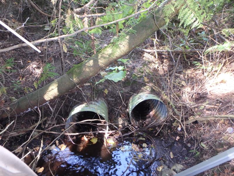
Inlet
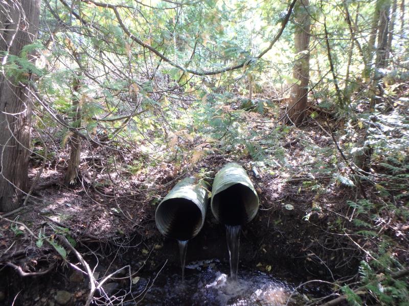
Outlet
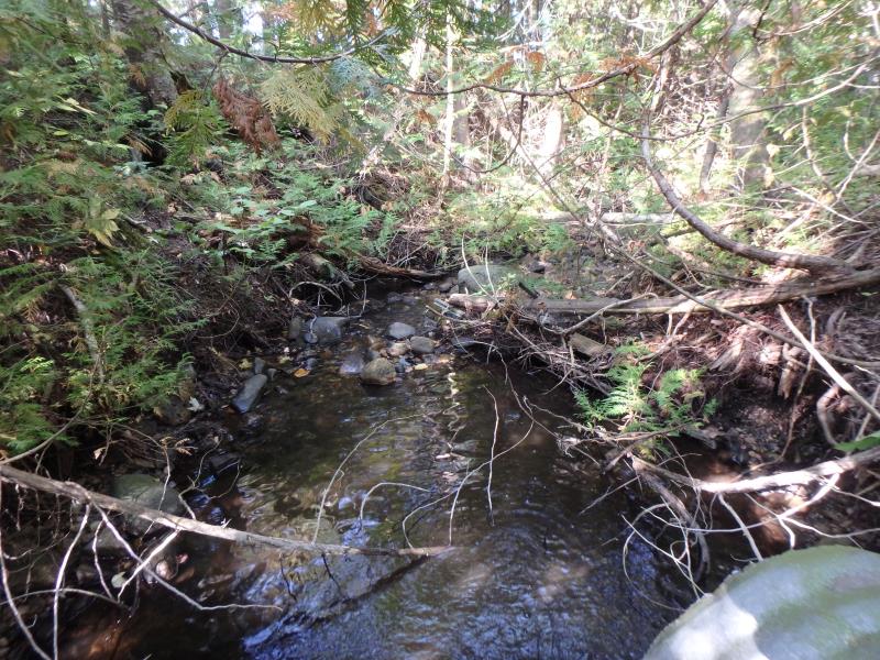
Upstream Conditions
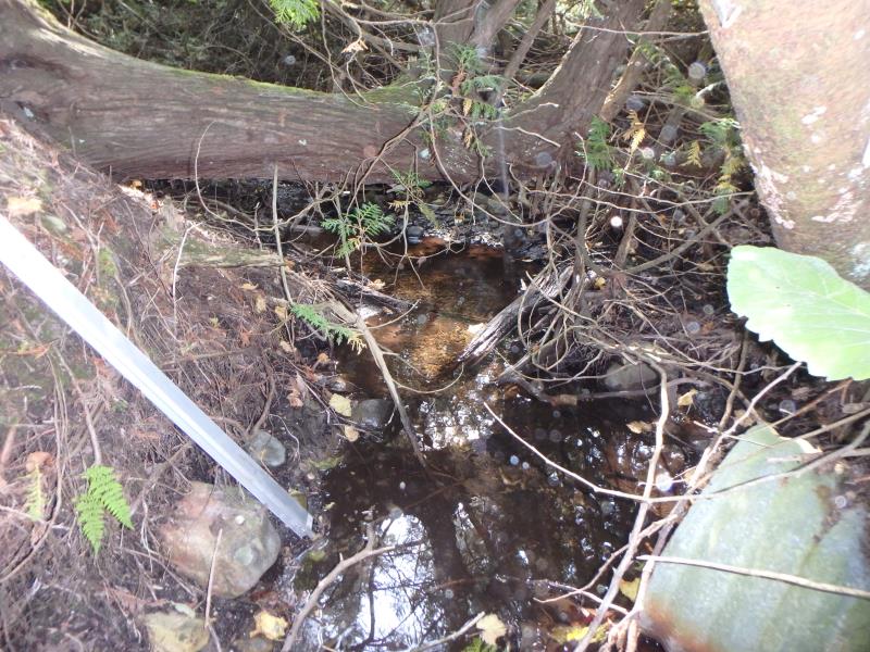
Downstream Conditions
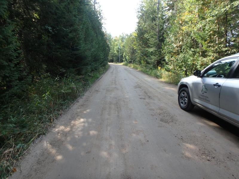
Road Approach - Left
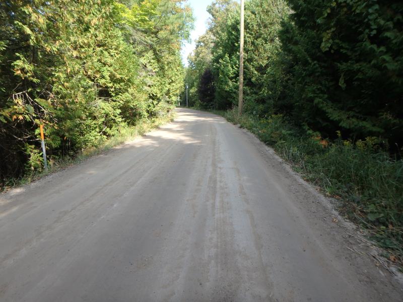
Road Approach - Right
Crossing Information
Type of Crossing: culvert(s)
Number of Structures: 2
Structure Shape: Round
Inlet Type: Projecting
Outlet Type: Freefall into Pool
Structure Material: Metal
Structure Substrate: None
General Conditions: Poor
Multiple Culverts/Spans | ||||
Culvert/Span | Width | Length | Height | Material |
1 |
1.5 ft. |
43 ft. |
1.5 ft. |
Metal |
2 |
1.5 ft. |
43 ft. |
1.5 ft. |
Metal |
Structure Interior: corrugated
Structure is Rusted through
Dimensions of Structure: Length 43 ft.
, Width 1.5 ft.
, Height 1.5 ft.
Perch Height: 1.8 ft.
Structure Inlet
Water Depth: 0.1 ft.
Embedded Depth of Structure: 0 ft.
Water Velocity*: 0.9 ft./sec.
Structure Outlet
Water Depth: 0.1 ft.
Embedded Depth of Structure: 0 ft.
Water Velocity*: 1.4 ft./sec.
*Water Velocities were measured at the Surface
(with Meter)
Additional Comments
Water depth and velocity measurements recorded for culvert #1
Stream Information
Stream Flow: Less than 1/2 Bankfull
Scour Pool: Length 8.8 ft.
, Width 8.1 ft.
, Depth 1.3 ft.
Road Information
Gravel
County Road
Road Condition: Fair
Road Width at Culvert: 17 ft.
Location of Low Point: At Stream
Runoff Path: Ditch
Embankments
Upstream
Fill Depth: 6 ft.
Slope: 1:1
Downstream
Fill Depth: 5.8 ft.
Slope: Vertical
Approaches
Left Approach
Length: 250 ft.
Slope: 1% to 5%
Vegetation: Heavy
LS Factor: 0.44
Erosion: 0.5152 tons/year
Right Approach
Length: 250 ft.
Slope: 1% to 5%
Vegetation: Heavy
LS Factor: 0.44
Erosion: 0.5152 tons/year
Erosion Information
Total Erosion at Crossing: 1.0303 tons/year
Summary Information
�