Road Stream Crossing Site GTBAY_NC003
East Bay Shoreline & Tributaries Watershed, Unnamed Creek
Richardson Rd
Norwood Twp,
Charlevoix County
Information collected by:
Site Location
GPS Coordinates: 45.207612
, -85.374034
T33N
R9W
Sec 35
Owned by Private
Total Erosion: 0.2816 tons/year
Severity: Minor
Year Inventoried: 2020
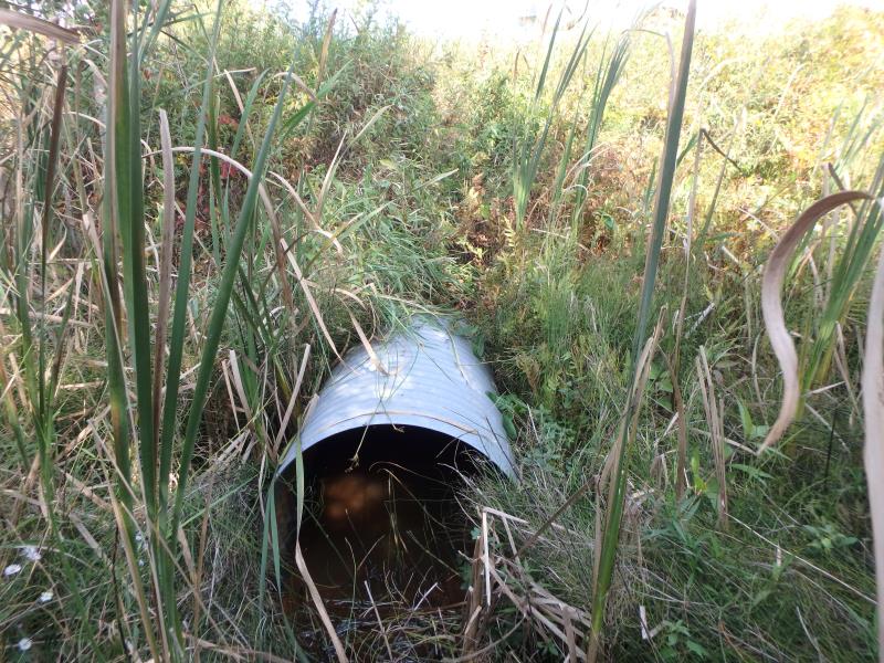
Inlet
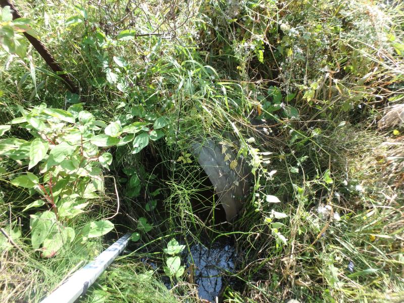
Outlet
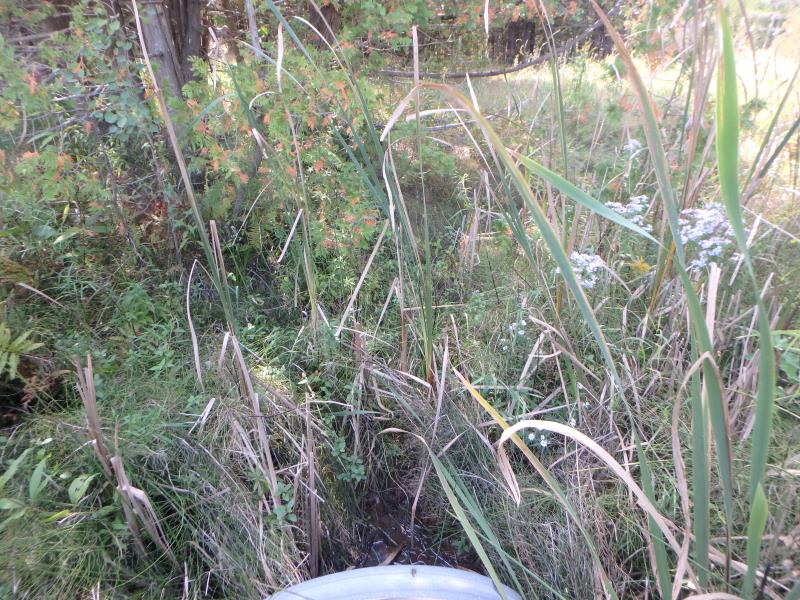
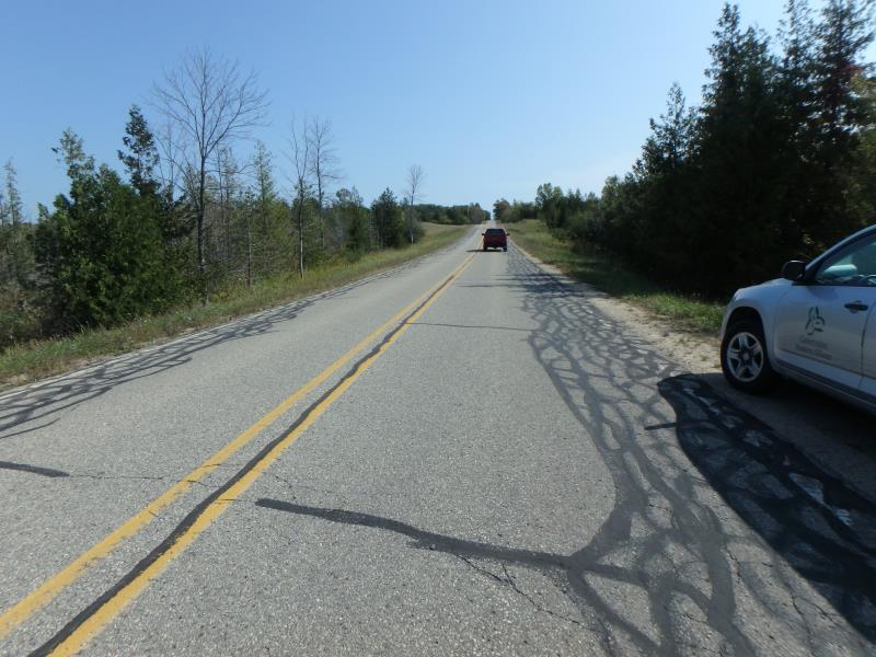
Upstream Conditions
Downstream Conditions
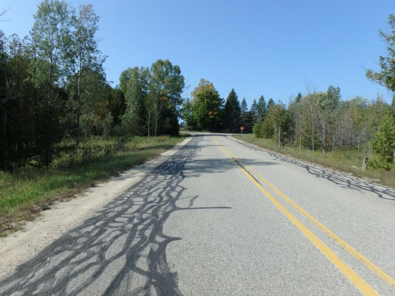
Road Approach - Left
Road Approach - Right
Crossing Information
Type of Crossing: culvert(s)
Structure Shape: Round
Inlet Type: Projecting
Outlet Type: At Stream Grade
Structure Material: Metal
Structure Substrate: None
General Conditions: Good
Structure Interior: corrugated
Dimensions of Structure: Length 70 ft.
, Width 3 ft.
, Height 3 ft.
Structure Inlet
Water Depth: 0.9 ft.
Embedded Depth of Structure: 0 ft.
Water Velocity*: 0 ft./sec.
Structure Outlet
Water Depth: 1.4 ft.
Embedded Depth of Structure: 0 ft.
Water Velocity*: 0 ft./sec.
Stream Information
Stream Flow: None
Road Information
Paved
County Road
Road Condition: Good
Road Width at Culvert: 25 ft.
Location of Low Point: At Stream
Runoff Path: Ditch
Embankments
Upstream
Fill Depth: 5.7 ft.
Slope: 1:2
Downstream
Fill Depth: 5.8 ft.
Slope: 1:1
Approaches
Left Approach
Length: 210 ft.
Slope: 1% to 5%
Vegetation: Heavy
LS Factor: 0.432
Erosion: 0.075 tons/year
Right Approach
Length: 500 ft.
Slope: 1% to 5%
Vegetation: Heavy
LS Factor: 0.5
Erosion: 0.2066 tons/year
Erosion Information
Total Erosion at Crossing: 0.2816 tons/year
Summary Information
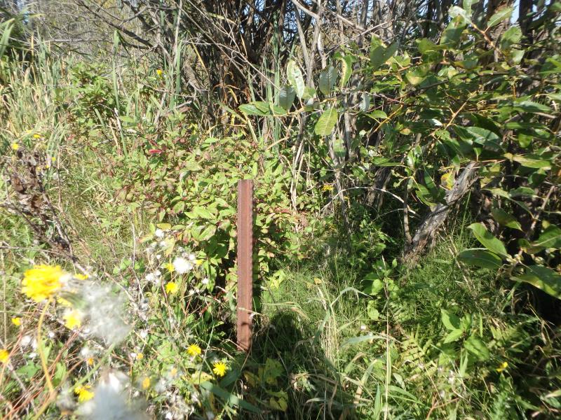
These non-native species were observerd at this site: Spotted Knapweed
�