Road Stream Crossing Site GTBAY_PA001
East Bay Shoreline & Tributaries Watershed, Paradine Creek
Winters Trail
Elk Rapids Twp,
Antrim County
Information collected by:
Site Location
GPS Coordinates: 44.944778
, -85.38977
T29N
R9W
Sec 03
Owned by Private
Total Erosion: 0.1397 tons/year
Severity: Minor
Year Inventoried: 2020
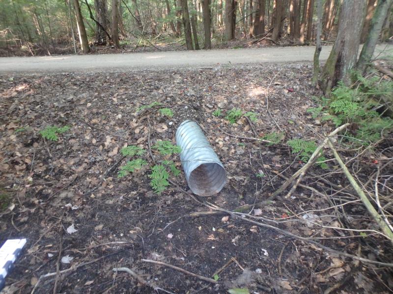
Inlet
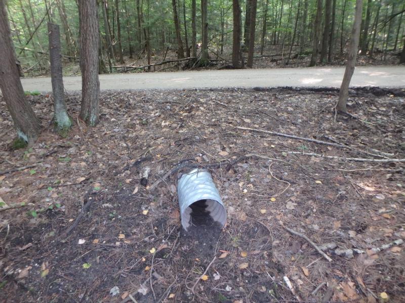
Outlet
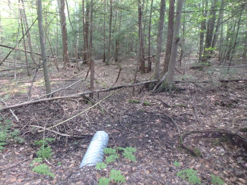
Upstream Conditions
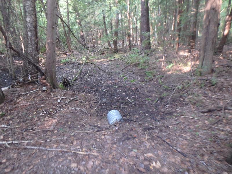
Downstream Conditions
Road Approach - Left
Road Approach - Right
Crossing Information
Type of Crossing: culvert(s)
Structure Shape: Round
Inlet Type: Projecting
Outlet Type: At Stream Grade
Structure Material: Metal
Structure Substrate: None
General Conditions: Good
Structure Interior: corrugated
Dimensions of Structure: Length 30 ft.
, Width 1 ft.
, Height 1 ft.
Water Depth: 0 ft.
Embedded Depth of Structure: 0 ft.
Water Velocity*: 0 ft./sec.
Water Depth: 0 ft.
Embedded Depth of Structure: 0 ft.
Water Velocity*: 0 ft./sec.
Stream Information
Stream Flow: None
Road Information
Gravel
Private Road
Road Condition: Good
Road Width at Culvert: 12 ft.
Location of Low Point: Other
Runoff Path: Ditch
Embankments
Upstream
Fill Depth: 1.2 ft.
Slope: More than 1:2
Downstream
Fill Depth: 1 ft.
Slope: More than 1:2
Approaches
Left Approach
Length: 100 ft.
Slope: 1% to 5%
Vegetation: None
LS Factor: 0.41
Erosion: 0.1355 tons/year
Right Approach
Length: 25 ft.
Slope: Less Than 1%
Vegetation: None
LS Factor: 0.05
Erosion: 0.0041 tons/year
Erosion Information
Total Erosion at Crossing: 0.1397 tons/year
Summary Information
�