Road Stream Crossing Site GTBAY_PA002
East Bay Shoreline & Tributaries Watershed, Paradine Creek
Winters Rd
Milton Twp,
Antrim County
Information collected by:
Site Location
GPS Coordinates: 44.946423
, -85.386562
T30N
R9W
Sec 34
Owned by Private
Total Erosion: 0.0134 tons/year
Severity: Minor
Year Inventoried: 2020
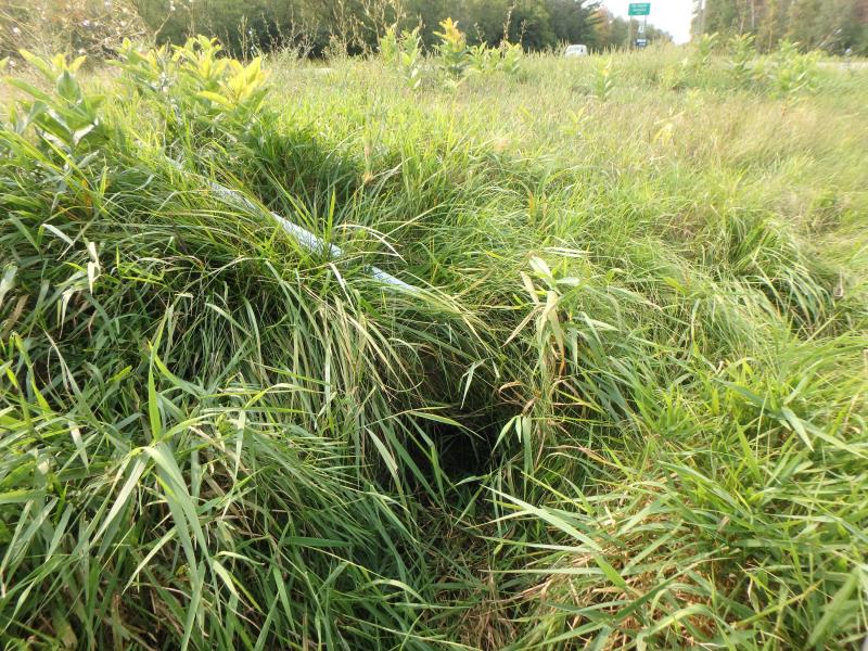
Inlet
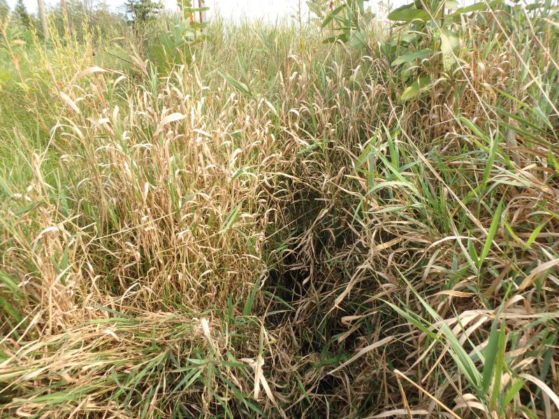
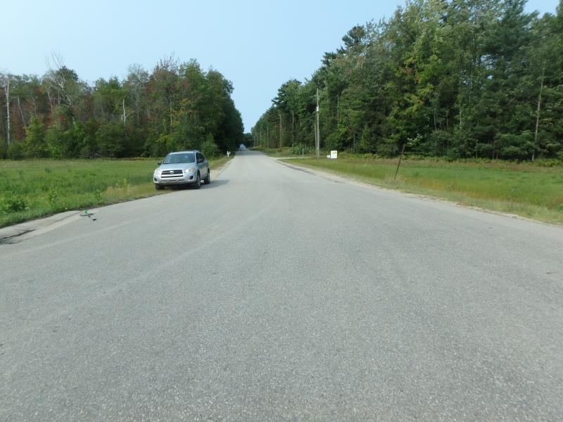
Outlet
Upstream Conditions
Downstream Conditions
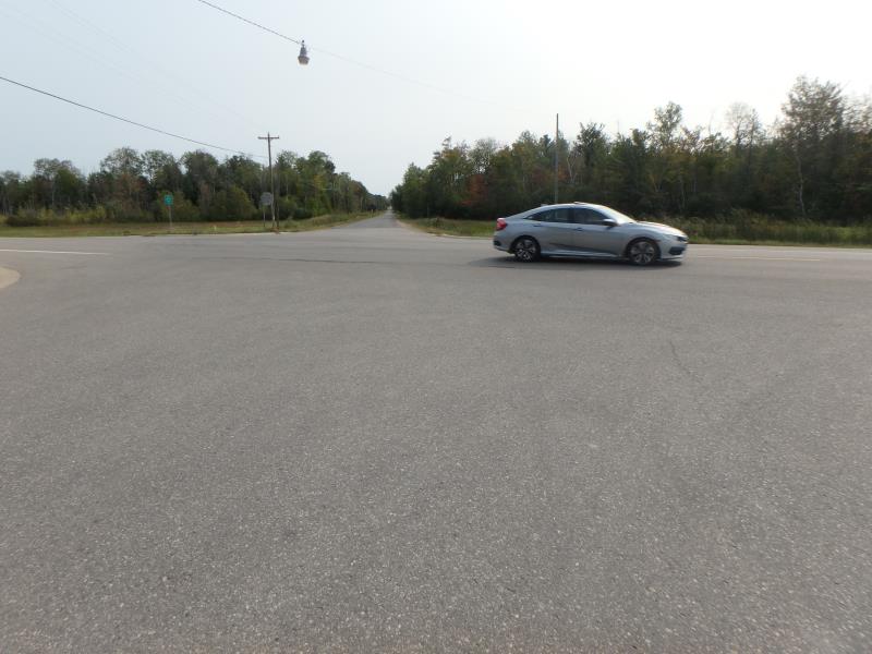
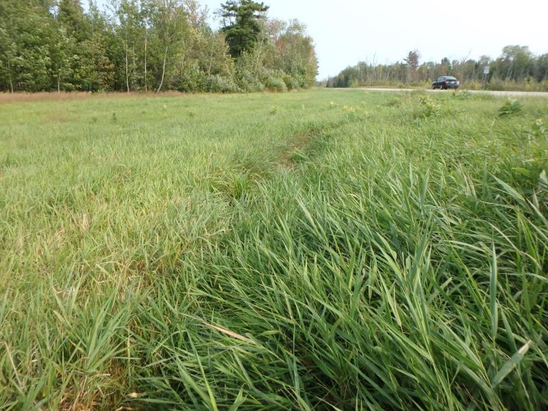
Road Approach - Left
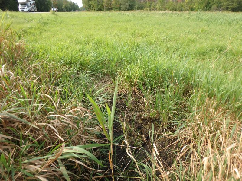
Road Approach - Right
Crossing Information
Type of Crossing: culvert(s)
Structure Shape: Round
Inlet Type: Apron
Outlet Type: Outlet Apron
Structure Material: Metal
Structure Substrate: Sand
General Conditions: Good
Structure Interior: corrugated
Dimensions of Structure: Length 83 ft.
, Width 1.5 ft.
, Height 1.5 ft.
Water Depth: 0 ft.
Embedded Depth of Structure: 0.3 ft.
Water Velocity*: 0 ft./sec.
Water Depth: 0 ft.
Embedded Depth of Structure: 0.3 ft.
Water Velocity*: 0 ft./sec.
Stream Information
Stream Flow: None
Road Information
Paved
County Road
Road Condition: Good
Road Width at Culvert: 50 ft.
Location of Low Point: Other
Runoff Path: Roadway
Embankments
Upstream
Fill Depth: 2.7 ft.
Slope: More than 1:2
Downstream
Fill Depth: 3.5 ft.
Slope: More than 1:2
Approaches
Left Approach
Length: 30 ft.
Slope: 1% to 5%
Vegetation: None
LS Factor: 0.228
Erosion: 0.0113 tons/year
Right Approach
Length: 25 ft.
Slope: Less Than 1%
Vegetation: Heavy
LS Factor: 0.05
Erosion: 0.0021 tons/year
Erosion Information
Total Erosion at Crossing: 0.0134 tons/year
Summary Information
�