Road Stream Crossing Site GTBAY_PA007
East Bay Shoreline & Tributaries Watershed, Paradine Creek
Cairn Hwy
Milton Twp,
Antrim County
Information collected by:
Site Location
GPS Coordinates: 44.957341
, -85.353079
T30N
R9W
Sec 36
Owned by Private
Fish Passability 0
Perch Height: 1.4 ft.
Total Erosion: 0.3636 tons/year
Severity: Severe
Year Inventoried: 2020
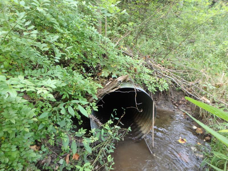
Inlet
Outlet
Upstream Conditions
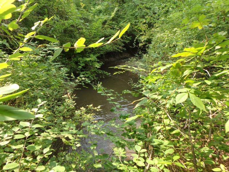
Downstream Conditions
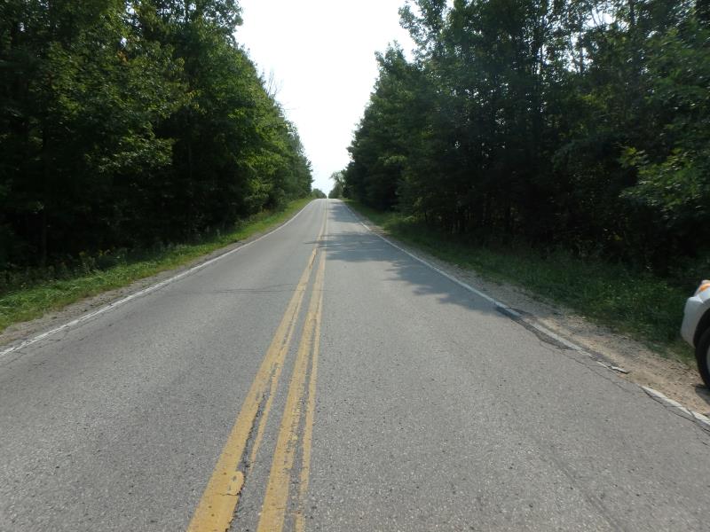
Road Approach - Left
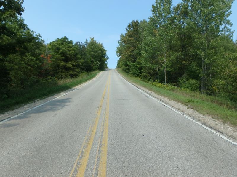
Road Approach - Right
Crossing Information
Type of Crossing: culvert(s)
Structure Shape: Round
Inlet Type: Projecting
Outlet Type: Freefall into Pool
Structure Material: Metal
Structure Substrate: None
General Conditions: Good
Structure Interior: corrugated
Dimensions of Structure: Length 120 ft.
, Width 2.5 ft.
, Height 2.5 ft.
Perch Height: 1.4 ft.
Structure Inlet
Water Depth: 0.2 ft.
Embedded Depth of Structure: 0 ft.
Water Velocity*: 1.3 ft./sec.
Structure Outlet
Water Depth: 0.1 ft.
Embedded Depth of Structure: 0 ft.
Water Velocity*: 2.3 ft./sec.
*Water Velocities were measured at the Surface
(with Meter)
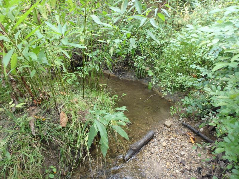
Stream Information
Stream Flow: Less than 1/2 Bankfull
Scour Pool: Length 21 ft.
, Width 14 ft.
, Depth 1.5 ft.
Riffle Information
Water Depth: 0.3 ft.
Bankfull Width: 4 ft.
Wetted Width: 3.1 ft.
Water Velocity: 0.6 ft./sec.
(Measured with Meter)
Dominant Substrate: Sand
Road Information
Paved
County Road
Road Condition: Good
Road Width at Culvert: 22 ft.
Location of Low Point: At Stream
Runoff Path: Ditch
Embankments
Upstream
Fill Depth: 15 ft.
Slope: 1:1.5
Downstream
Fill Depth: 15 ft.
Slope: 1:2
Approaches
Left Approach
Length: 500 ft.
Slope: 1% to 5%
Vegetation: Heavy
LS Factor: 0.5
Erosion: 0.1818 tons/year
Right Approach
Length: 500 ft.
Slope: 1% to 5%
Vegetation: Heavy
LS Factor: 0.5
Erosion: 0.1818 tons/year
Erosion Information
Total Erosion at Crossing: 0.3636 tons/year
Summary Information
Fish Passability 0
These non-native species were observerd at this site: Multiflora Rose
�