Road Stream Crossing Site GTBAY_S040
Boardman River Watershed, N Branch Boardman River
Wheeler Lake Rd
Kalkaska Twp,
Kalkaska County
Information collected by:
Site Location
GPS Coordinates: 44.746166
, -85.113395
T27N
R7W
Sec 11
Owned by State
Private
Private
Fish Passability 0.9
Total Erosion: 0.0565 tons/year
Severity: Restored
Year Inventoried: 2020
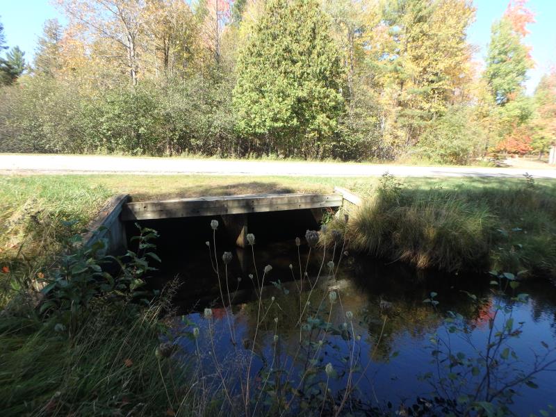
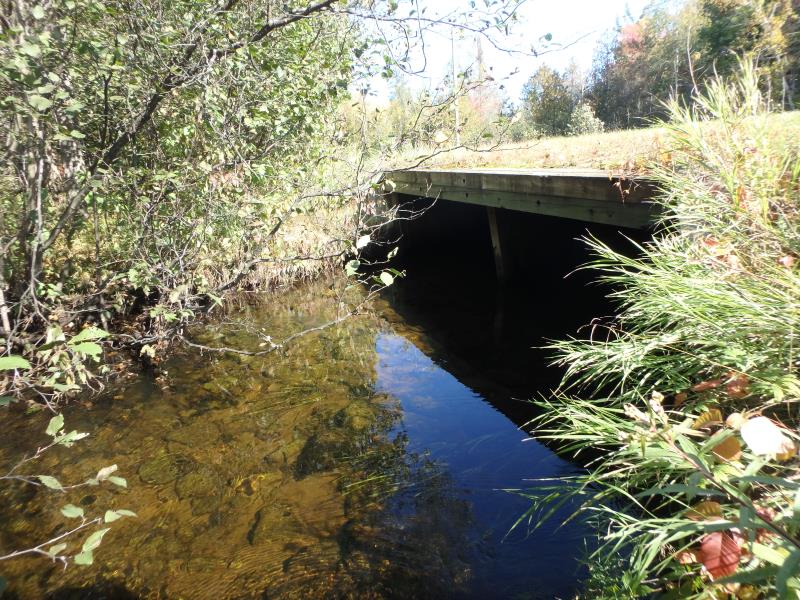
Inlet
Outlet
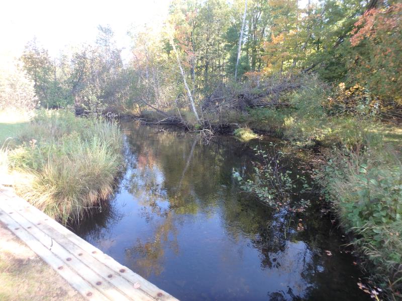
Upstream Conditions
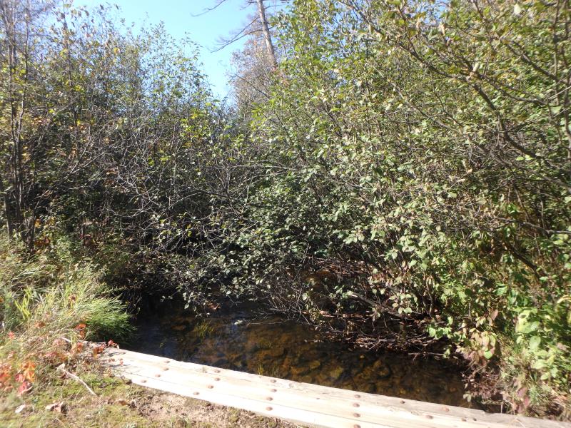
Downstream Conditions
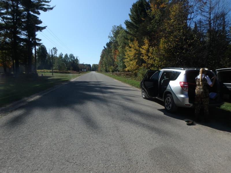
Road Approach - Left
Road Approach - Right
Crossing Information
Type of Crossing: culvert(s)
Number of Structures: 2
Structure Shape: Square/Rectangle
Inlet Type: Wingwall 30-70 Degree
Outlet Type: At Stream Grade
Structure Material: Wood
Structure Substrate: Gravel
General Conditions: Good
Dimensions of Structure: Length 51 ft.
, Width 7.5 ft.
, Height 4.5 ft.
Structure Inlet
Water Depth: 1.9 ft.
Embedded Depth of Structure: 0 ft.
Water Velocity*: 0.4 ft./sec.
Structure Outlet
Water Depth: 1.3 ft.
Embedded Depth of Structure: 0.5 ft.
Water Velocity*: 0.4 ft./sec.
*Water Velocities were measured 0.5 ft. below Surface
(with Meter)
Stream Information
Stream Flow: Less than Bankfull
Riffle Information
Water Depth: 0.7 ft.
Bankfull Width: 37 ft.
Wetted Width: 35 ft.
Water Velocity: 0.7 ft./sec.
(Measured with Meter)
Dominant Substrate: Sand
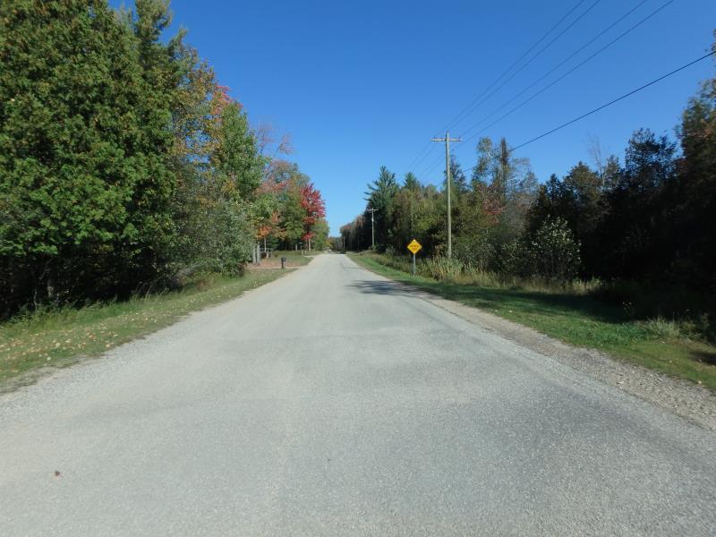
Road Information
Paved
County Road
Road Condition: Fair
Road Width at Culvert: 22 ft.
Location of Low Point: Other
Runoff Path: Ditch
Embankments
Upstream
Fill Depth: 0.5 ft.
Slope: More than 1:2
Downstream
Fill Depth: 0.5 ft.
Slope: More than 1:2
Approaches
Left Approach
Length: 180 ft.
Slope: 1% to 5%
Vegetation: Heavy
LS Factor: 0.418
Erosion: 0.0547 tons/year
Right Approach
Length: 50 ft.
Slope: Less Than 1%
Vegetation: Heavy
LS Factor: 0.05
Erosion: 0.0018 tons/year
Erosion Information
Total Erosion at Crossing: 0.0565 tons/year
Summary Information
Fish Passability 0.9
�