Road Stream Crossing Site GTBAY_S069
Boardman River Watershed, Robbin's Creek
Cass Rd
Garfield Twp,
Grand Traverse County
Information collected by:
Site Location
GPS Coordinates: 44.702447
, -85.625723
T27N
R11W
Sec 27
Owned by Local Government
Private
Private
Fish Passability 0
Total Erosion: 2.3868 tons/year
Severity: Severe
Year Inventoried: 2020
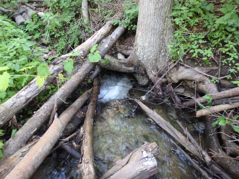
Inlet
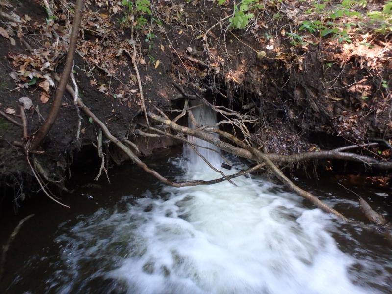
Outlet
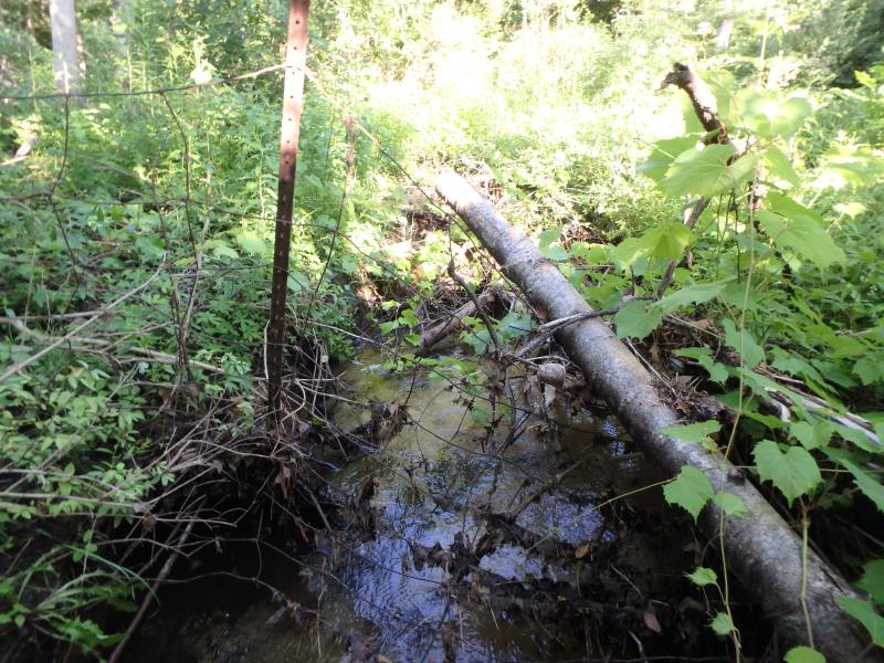
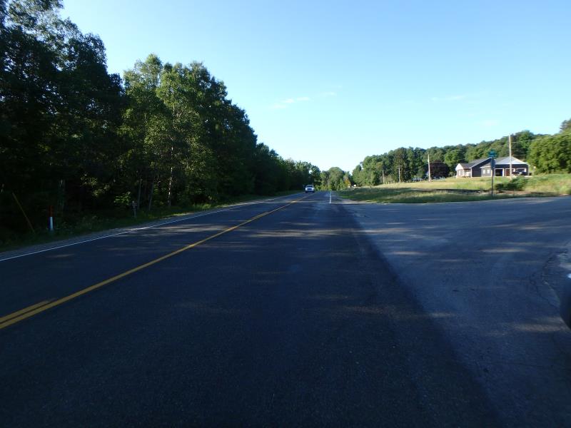
Upstream Conditions
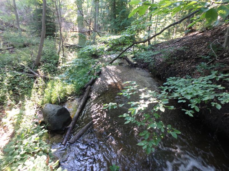
Downstream Conditions
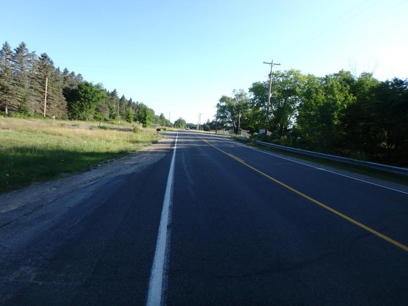
Road Approach - Left
Road Approach - Right
Crossing Information
Type of Crossing: culvert(s)
Structure Shape: Round
Inlet Type: Apron
Outlet Type: Freefall into Pool
Structure Material: Metal
Structure Substrate: None
General Conditions: Poor
Structure Interior: smooth
Dimensions of Structure: Length 118 ft.
, Width 2 ft.
, Height 2 ft.
Structure Inlet
Water Depth: 0.7 ft.
Embedded Depth of Structure: 0 ft.
Water Velocity*: 5.8 ft./sec.
Structure Outlet
Water Depth: 0.5 ft.
Embedded Depth of Structure: 0 ft.
Water Velocity*: 6 ft./sec.
*Water Velocities were measured 0.3 ft. below Surface
(with Meter)
Stream Information
Stream Flow: Less than Bankfull
Scour Pool: Length 16 ft.
, Width 14 ft.
, Depth 3 ft.
Riffle Information
Water Depth: 0.9 ft.
Bankfull Width: 20 ft.
Wetted Width: 6.7 ft.
Water Velocity: 0.7 ft./sec.
(Measured with Meter)
Dominant Substrate: Sand
Road Information
Paved
County Road
Road Condition: Fair
Road Width at Culvert: 26 ft.
Location of Low Point: At Stream
Runoff Path: Ditch
Embankments
Upstream
Fill Depth: 16 ft.
Slope: 1:1
Downstream
Fill Depth: 16 ft.
Slope: 1:1
Approaches
Left Approach
Length: 300 ft.
Slope: 1% to 5%
Vegetation: Partial
LS Factor: 0.55
Erosion: 0.1418 tons/year
Right Approach
Length: 250 ft.
Slope: 1% to 5%
Vegetation: Heavy
LS Factor: 0.44
Erosion: 0.0945 tons/year
Erosion Information
Total Erosion at Crossing: 2.3868 tons/year
Extent of Erosion: Severe
Notes: Erosion has caused portions of culvert to break off, eroding into bank. Large deep scour pool with perched culvert.
Location of Erosion | Erosion Dimensions | Eroded Material | Material Eroded | Total Erosion | ||
facing downstream | Length | Width | Depth | Reaching Stream? | (tons/year) | |
Right Downstream Embankment |
14 ft. |
7 ft. |
4 ft. |
yes |
Sandy Loam |
1.0752 |
Left Downstream Embankment |
14 ft. |
7 ft. |
4 ft. |
yes |
Sandy Loam |
1.0752 |
Summary Information
Fish Passability 0
Erosion is an area of concern for this site.
Fish passage and erosion
These non-native species were observerd at this site: Spotted Knapweed
�