Road Stream Crossing Site GTBAY_S362
Boardman River Watershed, Taylor Creek
Two-Track
Boardman Twp,
Kalkaska County
Information collected by:
Site Location
GPS Coordinates: 44.65418
, -85.26521
T26N
R8W
Sec 15
Owned by State
Total Erosion: 0.0076 tons/year
Severity: Restored
Year Inventoried: 2020
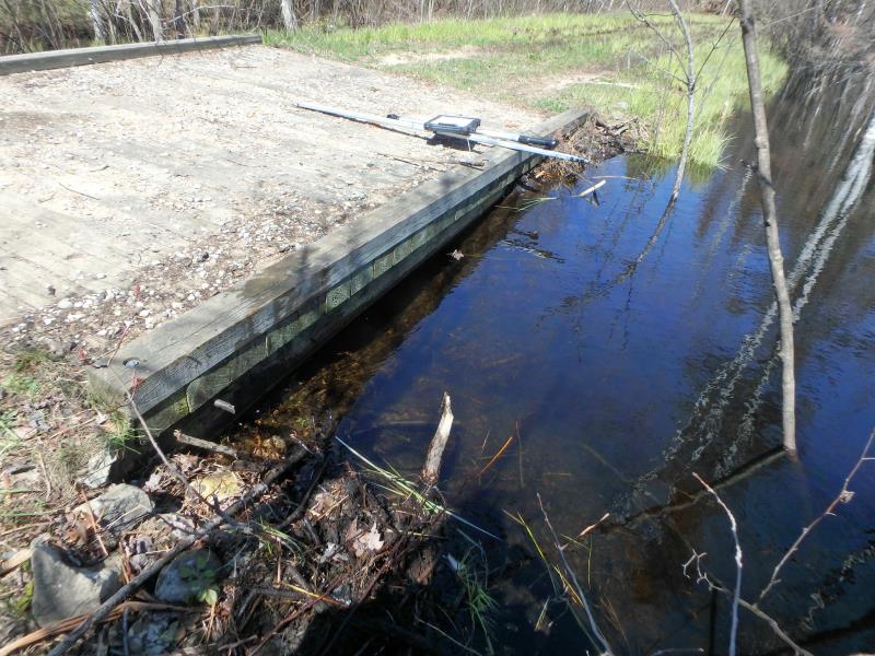
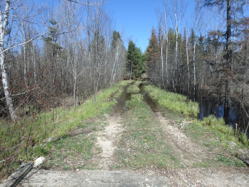
Inlet
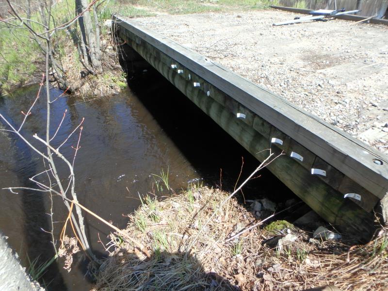
Outlet
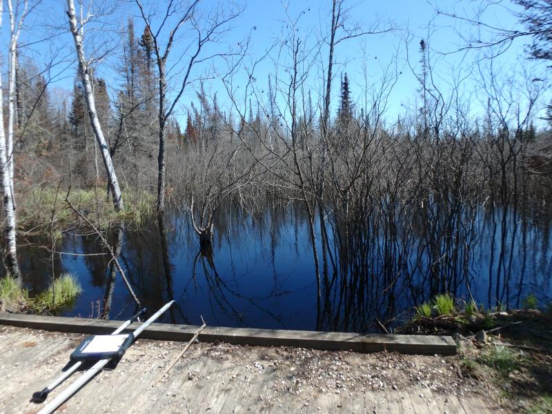
Upstream Conditions
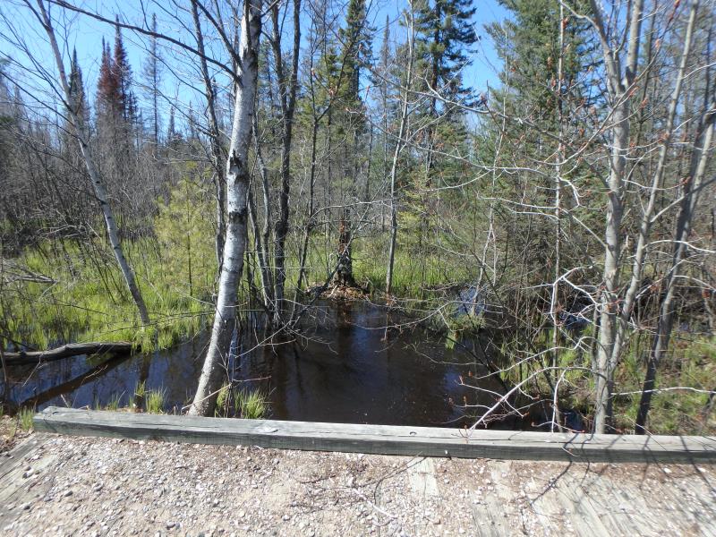
Downstream Conditions
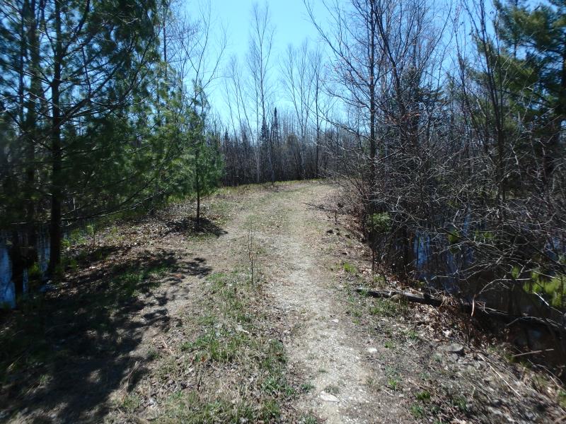
Road Approach - Left
Road Approach - Right
Crossing Information
Type of Crossing: Bridge
Structure Shape: Open Bottom Square/Rectangle
Inlet Type: Headwall
Outlet Type: At Stream Grade
Structure Material: Wood
Structure Substrate: Mixture
General Conditions: Poor
Structure Interior: smooth
Dimensions of Structure: Length 12 ft.
, Width 14 ft.
, Height 4 ft.
Percentage Plugged:
Inlet: 76% to 100%
Structure Inlet
Water Depth: 2.9 ft.
Embedded Depth of Structure: 0 ft.
Water Velocity*: 0 ft./sec.
Structure Outlet
Water Depth: 1.7 ft.
Embedded Depth of Structure: 0 ft.
Water Velocity*: 0 ft./sec.
*Water Velocities were measured at the Surface
(with Float Test)
Stream Information
Stream Flow: More than Bankfull
Dominant Substrate: Organics
Road Information
Native Surface
Other Road
Road Condition: Poor
Road Width at Culvert: 11 ft.
Location of Low Point: Other
Runoff Path: Ditch
Fill Depth: 0 ft.
Slope: Vertical
Fill Depth: 0 ft.
Slope: Vertical
Approaches
Left Approach
Length: 25 ft.
Slope: Less Than 1%
Vegetation: Heavy
LS Factor: 0.05
Erosion: 0.0038 tons/year
Right Approach
Length: 25 ft.
Slope: Less Than 1%
Vegetation: Heavy
LS Factor: 0.05
Erosion: 0.0038 tons/year
Erosion Information
Total Erosion at Crossing: 0.0076 tons/year
Summary Information
�