Road Stream Crossing Site GTBAY_S365
Boardman River Watershed, Taylor Creek
Creighton Rd SW
Boardman Twp,
Kalkaska County
Information collected by:
Site Location
GPS Coordinates: 44.64931
, -85.25133
T26N
R8W
Sec 15
Owned by Private
Fish Passability 0
Total Erosion: 0.2793 tons/year
Severity: Severe
Year Inventoried: 2020
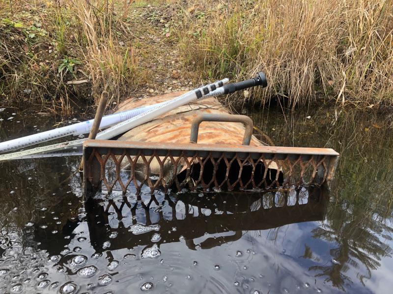
Inlet
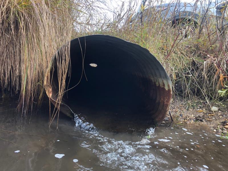
Outlet
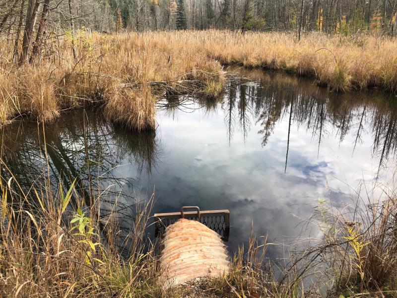
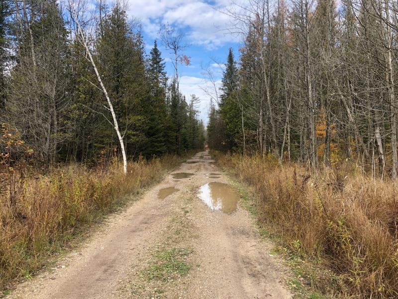
Upstream Conditions
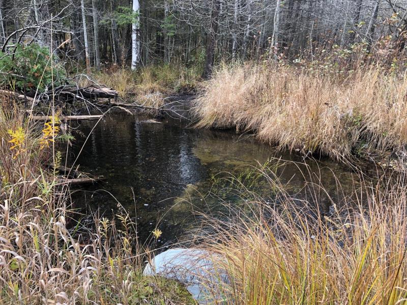
Downstream Conditions
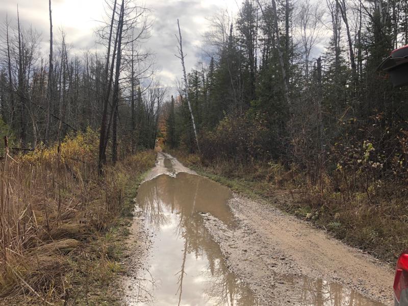
Road Approach - Left
Road Approach - Right
Crossing Information
Type of Crossing: culvert(s)
Number of Structures: 1
Structure Shape: Ellipse
Inlet Type: Trash Rack
Outlet Type: At Stream Grade
Structure Material: Metal
Structure Substrate: None
General Conditions: Fair
Structure Interior: corrugated
Dimensions of Structure: Length 24 ft.
, Width 2.5 ft.
, Height 1.6 ft.
Percentage Crushed:
Inlet: 1% to 25%
Outlet: 1% to 25%
Structure Inlet
Water Depth: 1.4 ft.
Embedded Depth of Structure: 0 ft.
Water Velocity*: 0.7 ft./sec.
Structure Outlet
Water Depth: 0.3 ft.
Embedded Depth of Structure: 0 ft.
Water Velocity*: 3.3 ft./sec.
*Water Velocities were measured at the Surface
(with Meter)
Stream Information
Stream Flow: Less than Bankfull
Riffle Information
Water Depth: 0.5 ft.
Bankfull Width: 5 ft.
Wetted Width: 3 ft.
Water Velocity: 0.5 ft./sec.
(Measured with Meter)
Dominant Substrate: Sand
Road Information
Gravel
County Road
(Seasonal)
Road Condition: Poor
Road Width at Culvert: 13 ft.
Location of Low Point: At Stream
Runoff Path: Roadway
Embankments
Upstream
Fill Depth: 1.5 ft.
Slope: Vertical
Downstream
Fill Depth: 1 ft.
Slope: Vertical
Approaches
Left Approach
Length: 100 ft.
Slope: 1% to 5%
Vegetation: Partial
LS Factor: 0.39
Erosion: 0.1397 tons/year
Right Approach
Length: 100 ft.
Slope: 1% to 5%
Vegetation: Partial
LS Factor: 0.39
Erosion: 0.1397 tons/year
Erosion Information
Total Erosion at Crossing: 0.2793 tons/year
Summary Information
Fish Passability 0
�