Road Stream Crossing Site GTBAY_S412
Boardman River Watershed, S Branch Boardman River
E Boardman Rd
Boardman Twp,
Kalkaska County
Information collected by:
Site Location
GPS Coordinates: 44.641341
, -85.284326
T26N
R8W
Sec 21
Owned by Local Government
Private
Private
Fish Passability 0
Perch Height: 6.5 ft.
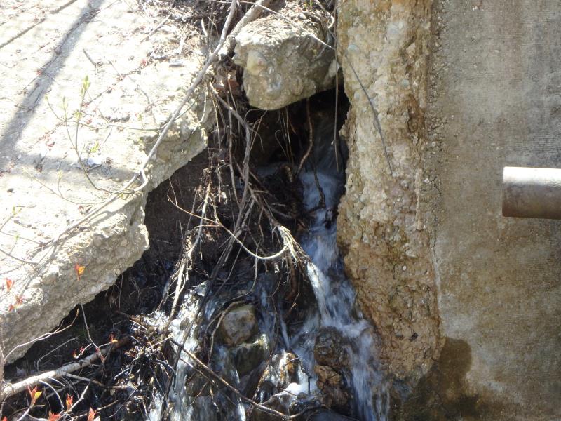
Total Erosion: 2.1322 tons/year
Severity: Severe
Year Inventoried: 2020
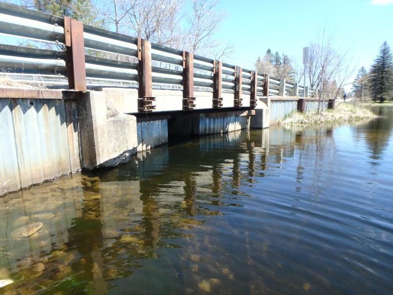
Inlet
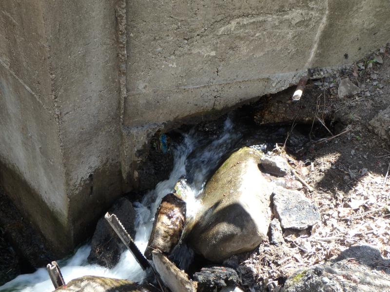
Outlet
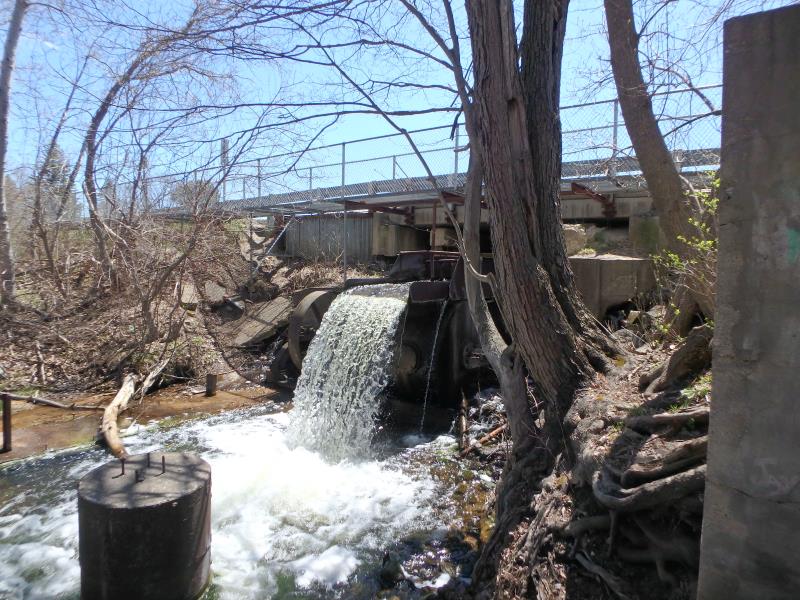
Outlet
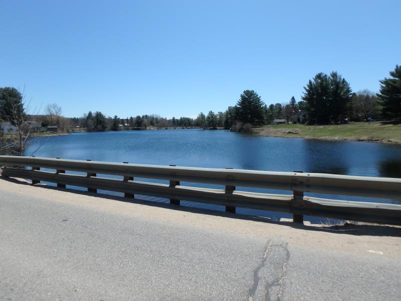
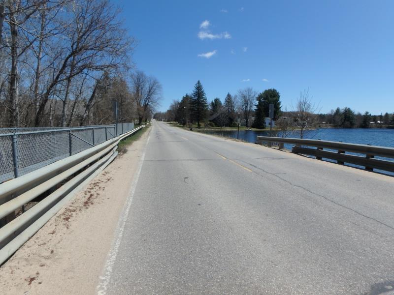
Upstream Conditions
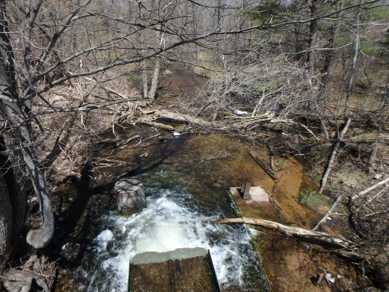
Downstream Conditions
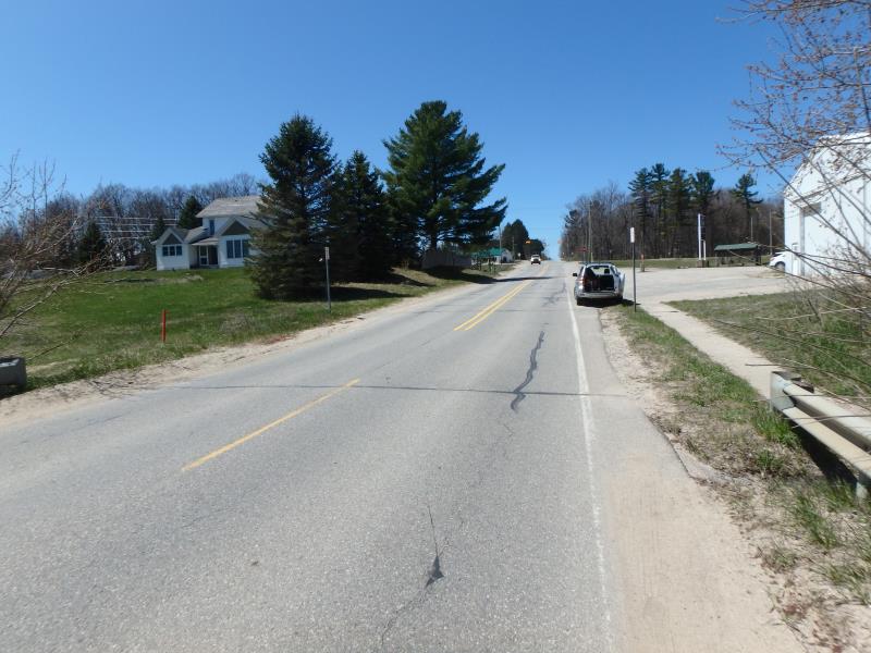
Road Approach - Left
Road Approach - Right
Erosion
Erosion
Erosion
Other
Crossing Information
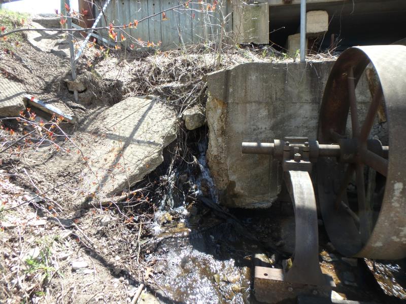
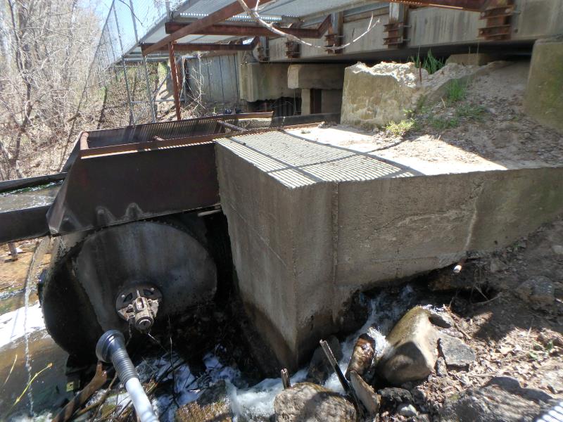
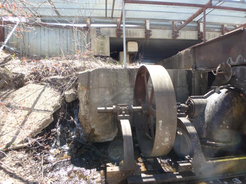
Type of Crossing: Dam
Structure Shape: Square/Rectangle
Inlet Type: Headwall
Outlet Type: Freefall into Pool
Structure Material: Metal
Structure Substrate: None
General Conditions: Poor
Structure Interior: smooth
Dimensions of Structure: Length 36 ft.
, Width 4.5 ft.
, Height 8.8 ft.
Perch Height: 6.5 ft.
Structure Inlet
Water Depth: 6 ft.
Embedded Depth of Structure: 0 ft.
Water Velocity*: 0.5 ft./sec.
Structure Outlet
Water Depth: 1 ft.
Embedded Depth of Structure: 0 ft.
Water Velocity*: 3.3 ft./sec.
*Water Velocities were measured 0.5 ft. below Surface
(with Meter)
Stream Information
Stream Flow: Less than Bankfull
Scour Pool: Length 15 ft.
, Width 18 ft.
, Depth 3 ft.
Riffle Information
Water Depth: 0.3 ft.
Bankfull Width: 35 ft.
Wetted Width: 33 ft.
Water Velocity: 2.1 ft./sec.
(Measured with Meter)
Dominant Substrate: Gravel
Road Information
Gravel
County Road
Road Condition: Fair
Road Width at Culvert: 24 ft.
Location of Low Point: Other
Runoff Path: Ditch
Embankments
Upstream
Fill Depth: 2 ft.
Slope: Vertical
Downstream
Fill Depth: 2 ft.
Slope: Vertical
Approaches
Left Approach
Length: 500 ft.
Slope: 1% to 5%
Vegetation: Partial
LS Factor: 0.64
Erosion: 2.1157 tons/year
Right Approach
Length: 50 ft.
Slope: Less Than 1%
Vegetation: Partial
LS Factor: 0.05
Erosion: 0.0165 tons/year
Erosion Information
Total Erosion at Crossing: 2.1322 tons/year
Summary Information
Fish Passability 0
�