Road Stream Crossing Site GTBAY_S416
Boardman River Watershed, Boardman River Tributary
E Main Street
Boardman Twp,
Kalkaska County
Information collected by:
Site Location
GPS Coordinates: 44.63792
, -85.28184
T26N
R8W
Sec 21
Owned by Private
Total Erosion: 0.1076 tons/year
Severity: Restored
Year Inventoried: 2020
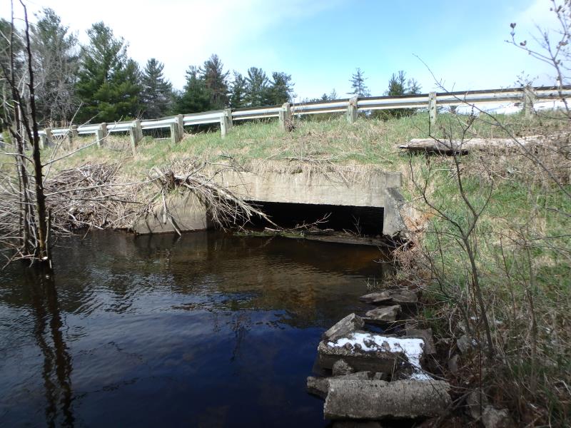
Inlet
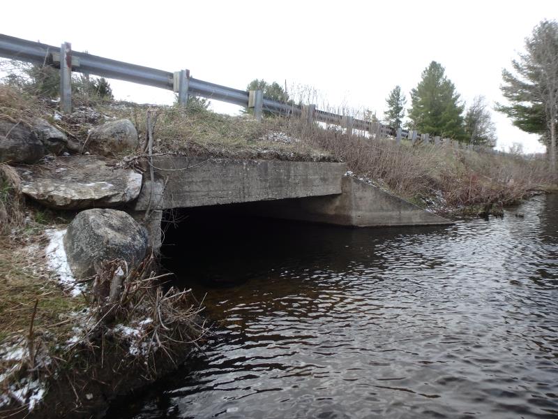
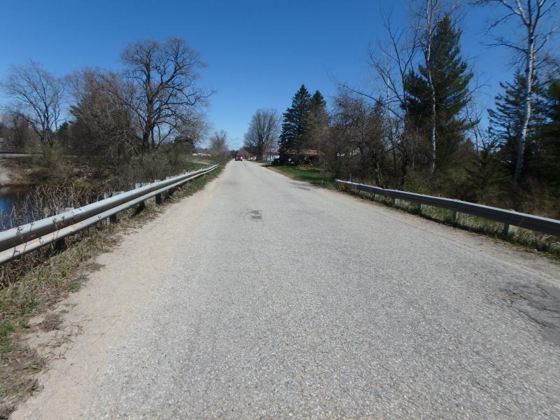
Outlet
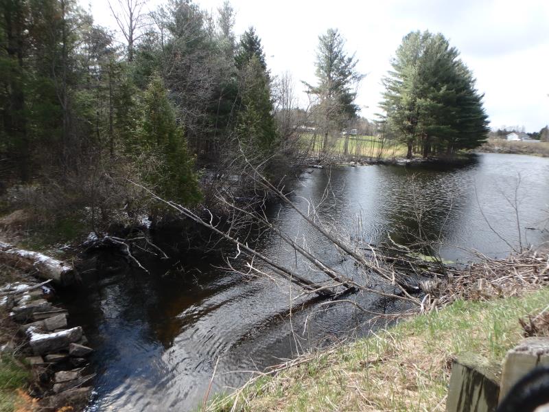
Upstream Conditions
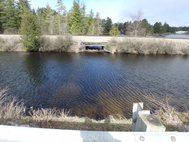
Downstream Conditions
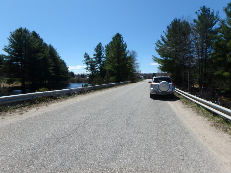
Road Approach - Left
Road Approach - Right
Crossing Information
Type of Crossing: culvert(s)
Structure Shape: Open Bottom Square/Rectangle
Inlet Type: Wingwall 10-30 Degree
Outlet Type: At Stream Grade
Structure Material: Concrete
Structure Substrate: Sand
General Conditions: Fair
Structure Interior: smooth
Dimensions of Structure: Length 39 ft.
, Width 14 ft.
, Height 5 ft.
Structure Inlet
Water Depth: 2.5 ft.
Embedded Depth of Structure: 0 ft.
Water Velocity*: 0.1 ft./sec.
Structure Outlet
Water Depth: 2.2 ft.
Embedded Depth of Structure: 0 ft.
Water Velocity*: 0.1 ft./sec.
*Water Velocities were measured at the Surface
(with Float Test)
Stream Information
Stream Flow: Less than Bankfull
Road Information
Paved
County Road
Road Condition: Fair
Road Width at Culvert: 22 ft.
Location of Low Point: At Stream
Runoff Path: Ditch
Embankments
Upstream
Fill Depth: 3.4 ft.
Slope: 1:2
Downstream
Fill Depth: 3.4 ft.
Slope: 1:2
Approaches
Left Approach
Length: 200 ft.
Slope: Less Than 1%
Vegetation: Heavy
LS Factor: 0.05
Erosion: 0.0073 tons/year
Right Approach
Length: 300 ft.
Slope: 1% to 5%
Vegetation: Heavy
LS Factor: 0.46
Erosion: 0.1004 tons/year
Erosion Information
Total Erosion at Crossing: 0.1076 tons/year
Summary Information
�