Road Stream Crossing Site GTBAY_S417
Boardman River Watershed, Taylor Creek
Boardman River Rd
Boardman Twp,
Kalkaska County
Information collected by:
Site Location
GPS Coordinates: 44.66813
, -85.29497
T26N
R8W
Sec 08
Owned by State
Fish Passability 0.5
Total Erosion: 1.3686 tons/year
Severity: Moderate
Year Inventoried: 2020
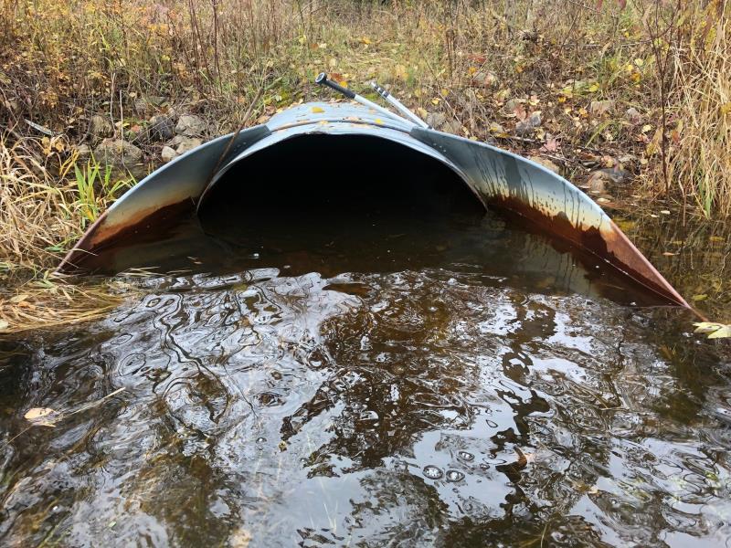
Inlet
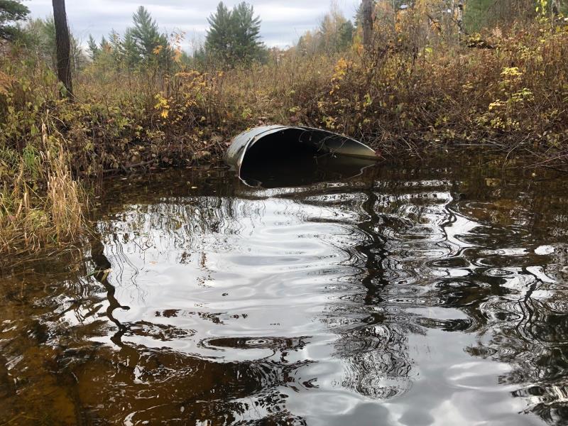
Outlet
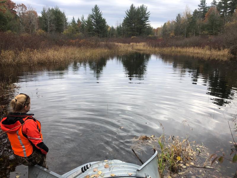
Upstream Conditions
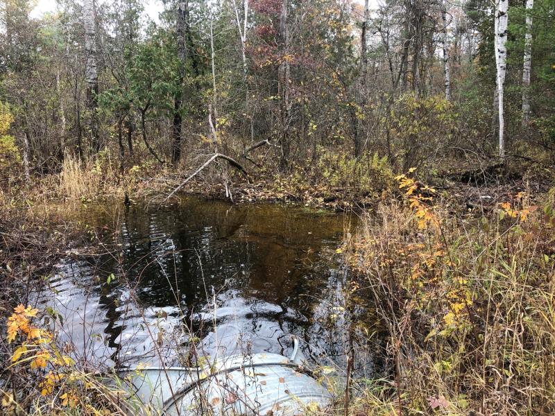
Downstream Conditions
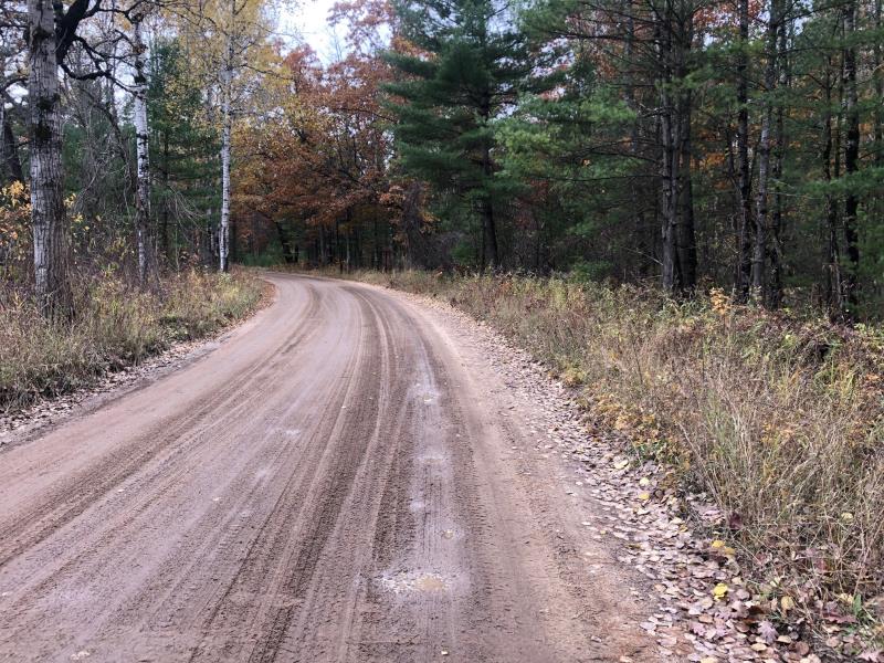
Road Approach - Left
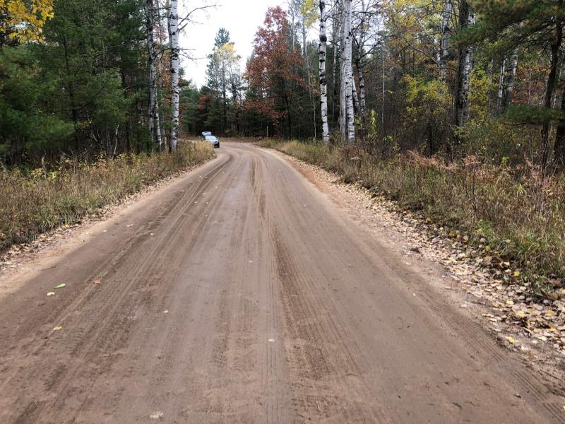
Road Approach - Right
Crossing Information
Type of Crossing: culvert(s)
Number of Structures: 1
Structure Shape: Ellipse
Inlet Type: Apron
Outlet Type: At Stream Grade
Structure Material: Metal
Structure Substrate: None
General Conditions: Good
Structure Interior: corrugated
Dimensions of Structure: Length 41 ft.
, Width 5 ft.
, Height 3.2 ft.
Percentage Plugged:
Structure Inlet
Water Depth: 2 ft.
Embedded Depth of Structure: 0 ft.
Water Velocity*: 0.4 ft./sec.
Structure Outlet
Water Depth: 2 ft.
Embedded Depth of Structure: 0 ft.
Water Velocity*: 0.4 ft./sec.
*Water Velocities were measured at the Surface
(with Meter)
Stream Information
Stream Flow: Less than Bankfull
Scour Pool: Length 20 ft.
, Width 20 ft.
, Depth 3 ft.
Upstream Pond: Length 50 ft.
, Width 50 ft.
Riffle Information
Water Depth: 0.8 ft.
Bankfull Width: 14 ft.
Wetted Width: 10 ft.
Water Velocity: 1.5 ft./sec.
(Measured with Meter)
Dominant Substrate: Gravel
Road Information
Gravel
County Road
Road Condition: Fair
Road Width at Culvert: 18 ft.
Location of Low Point: At Stream
Runoff Path: Roadway
Embankments
Upstream
Fill Depth: 1 ft.
Slope: 1:2
Downstream
Fill Depth: 1 ft.
Slope: 1:2
Approaches
Left Approach
Length: 300 ft.
Slope: 1% to 5%
Vegetation: Heavy
LS Factor: 0.46
Erosion: 0.6843 tons/year
Right Approach
Length: 300 ft.
Slope: 1% to 5%
Vegetation: Heavy
LS Factor: 0.46
Erosion: 0.6843 tons/year
Erosion Information
Total Erosion at Crossing: 1.3686 tons/year
Summary Information
Fish Passability 0.5
�