Road Stream Crossing Site GTBAY_S419A
Boardman River Watershed, Carpenter Creek
Carpenter Creek Rd
Union Twp,
Grand Traverse County
Information collected by:
Site Location
GPS Coordinates: 44.64553
, -85.39754
T26N
R9W
Sec 16
Owned by State
Fish Passability 0.9
Total Erosion: 0.0386 tons/year
Severity: Minor
Year Inventoried: 2020
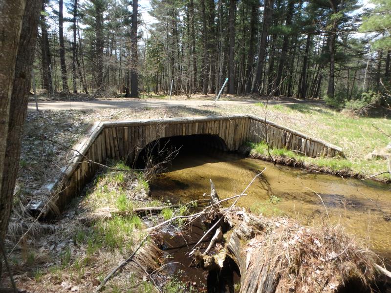
Inlet
Outlet
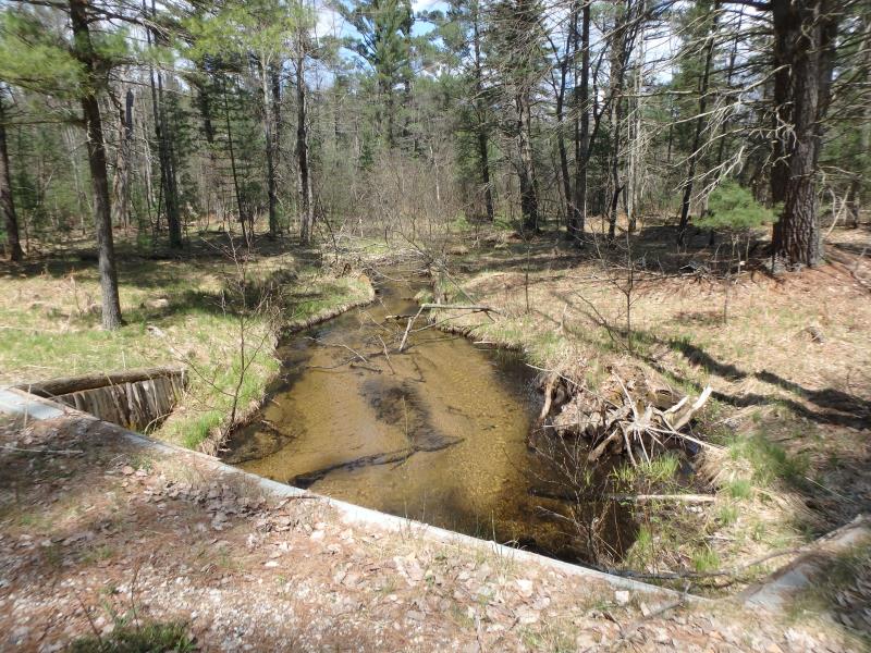
Upstream Conditions
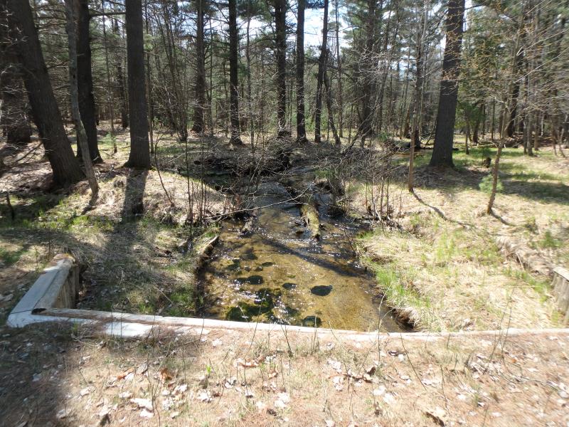
Downstream Conditions
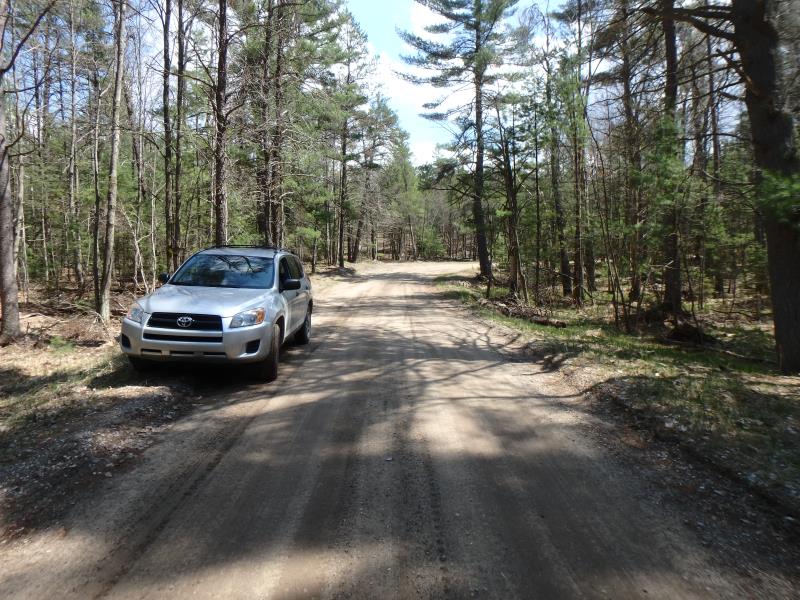
Road Approach - Left
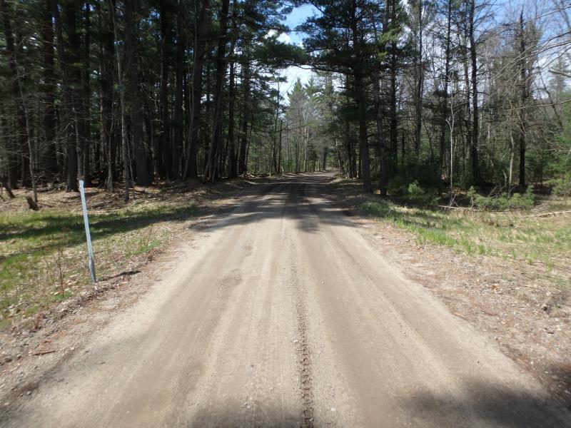
Road Approach - Right
Crossing Information
Type of Crossing: culvert(s)
Structure Shape: Open Bottom Arch
Inlet Type: Wingwall 30-70 Degree
Outlet Type: At Stream Grade
Structure Material: Metal
Structure Substrate: Sand
General Conditions: Good
Structure Interior: corrugated
Dimensions of Structure: Length 27 ft.
, Width 11 ft.
, Height 3 ft.
Structure Inlet
Water Depth: 0.6 ft.
Embedded Depth of Structure: 0 ft.
Water Velocity*: 1.4 ft./sec.
Structure Outlet
Water Depth: 0.6 ft.
Embedded Depth of Structure: 0 ft.
Water Velocity*: 1.3 ft./sec.
*Water Velocities were measured 0.4 ft. below Surface
(with Meter)
Stream Information
Stream Flow: Less than Bankfull
Riffle Information
Water Depth: 0.6 ft.
Bankfull Width: 13 ft.
Wetted Width: 11 ft.
Water Velocity: 1.2 ft./sec.
(Measured with Meter)
Dominant Substrate: Sand
Road Information
Gravel
County Road
Road Condition: Fair
Road Width at Culvert: 14 ft.
Location of Low Point: Other
Runoff Path: Ditch
Embankments
Upstream
Fill Depth: 2.2 ft.
Slope: Vertical
Downstream
Fill Depth: 2.2 ft.
Slope: Vertical
Approaches
Left Approach
Length: 100 ft.
Slope: Less Than 1%
Vegetation: Heavy
LS Factor: 0.05
Erosion: 0.0193 tons/year
Right Approach
Length: 100 ft.
Slope: Less Than 1%
Vegetation: Heavy
LS Factor: 0.05
Erosion: 0.0193 tons/year
Erosion Information
Total Erosion at Crossing: 0.0386 tons/year
Summary Information
Fish Passability 0.9
�