Road Stream Crossing Site GTBAY_S420
Boardman River Watershed, Bancroft Creek Tributary
Sparling Rd
Fife Lake Twp,
Grand Traverse County
Information collected by:
Site Location
GPS Coordinates: 44.57015
, -85.44987
T25N
R9W
Sec 18
Owned by Private
Fish Passability 0
Total Erosion: 3.3772 tons/year
Severity: Severe
Year Inventoried: 2020
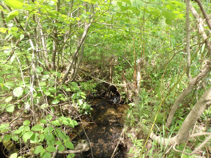
Inlet
Outlet
Outlet
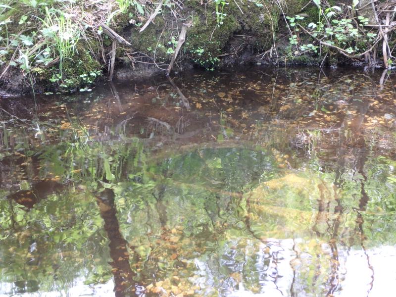
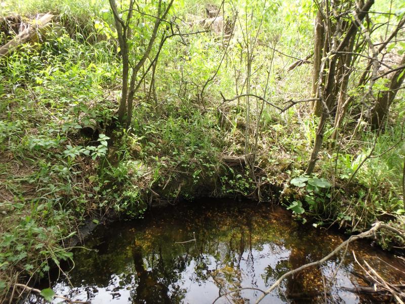
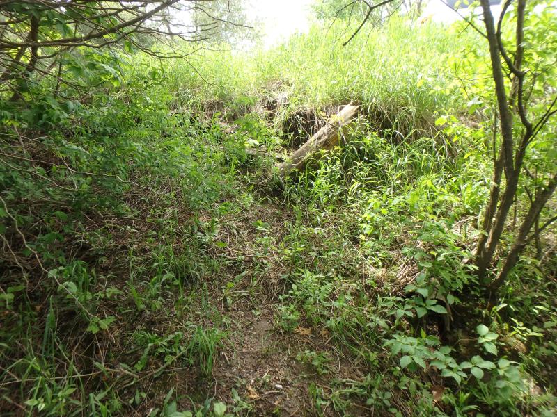
Upstream Conditions
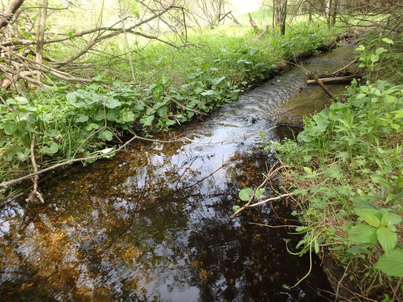
Downstream Conditions
Road Approach - Left
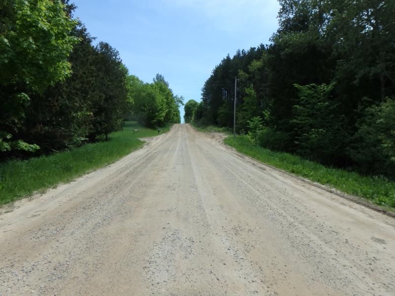
Road Approach - Right

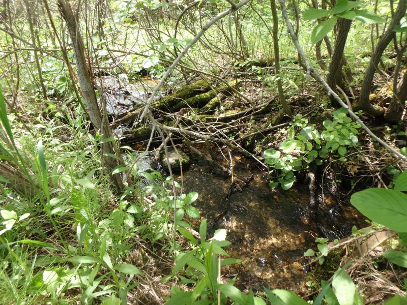
Erosion
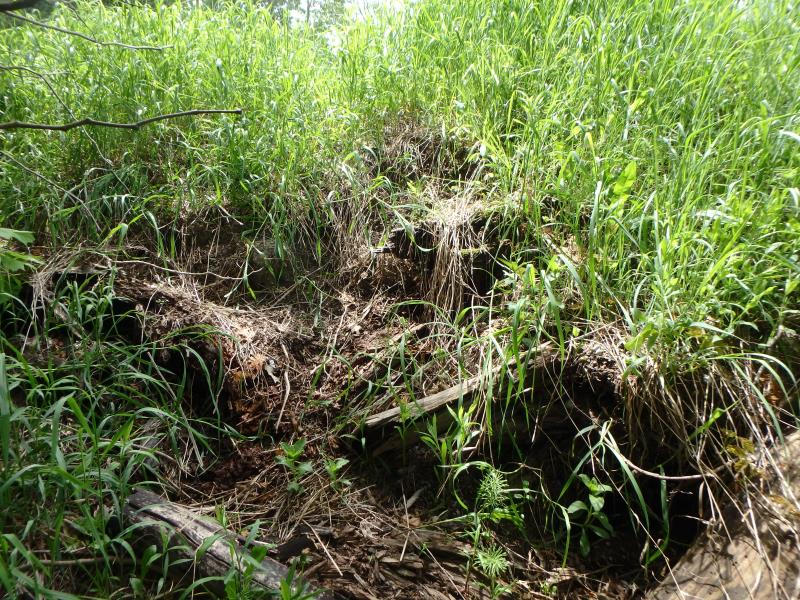
Erosion
Erosion
Crossing Information
Type of Crossing: culvert(s)
Structure Shape: Round
Inlet Type: Projecting
Outlet Type: Other
Structure Material: Metal
Structure Substrate: Mixture
General Conditions: Poor
Structure Interior: corrugated
Dimensions of Structure: Length 50 ft.
Percentage Plugged:
Outlet: 26% to 50%
Structure Inlet
Water Depth: 0.2 ft.
Embedded Depth of Structure: 0 ft.
Water Velocity*: 3.1 ft./sec.
Structure Outlet
Water Depth: 1.8 ft.
Embedded Depth of Structure: 0.4 ft.
Water Velocity*: 0.5 ft./sec.
*Water Velocities were measured 0.1 ft. below Surface
(with Meter)
Stream Information
Stream Flow: Less than Bankfull
Riffle Information
Water Depth: 0.5 ft.
Bankfull Width: 4 ft.
Wetted Width: 2.8 ft.
Water Velocity: 0.8 ft./sec.
(Measured with Meter)
Dominant Substrate: Organics
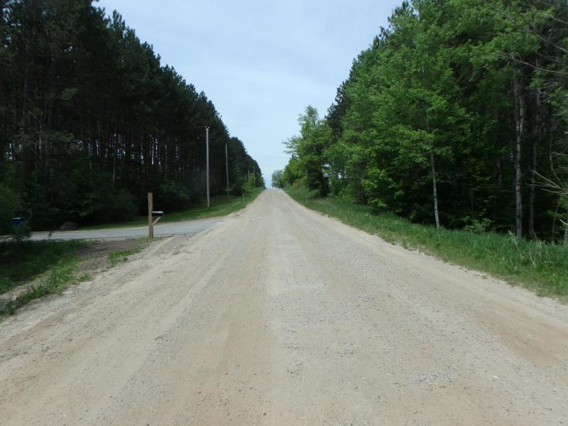
Road Information
Gravel
County Road
Road Condition: Fair
Road Width at Culvert: 24 ft.
Location of Low Point: At Stream
Runoff Path: Ditch
Embankments
Upstream
Fill Depth: 8 ft.
Slope: Vertical
Downstream
Fill Depth: 10 ft.
Slope: Vertical
Approaches
Left Approach
Length: 500 ft.
Slope: 1% to 5%
Vegetation: Heavy
LS Factor: 0.5
Erosion: 1.6529 tons/year
Right Approach
Length: 500 ft.
Slope: 1% to 5%
Vegetation: Heavy
LS Factor: 0.5
Erosion: 1.6529 tons/year
Erosion Information
Total Erosion at Crossing: 3.3772 tons/year
Extent of Erosion: Moderate
Location of Erosion | Erosion Dimensions | Eroded Material | Material Eroded | Total Erosion | ||
facing downstream | Length | Width | Depth | Reaching Stream? | (tons/year) | |
Right Downstream Embankment |
6 ft. |
1.5 ft. |
1 ft. |
yes |
Gravelly Loam |
0.042 |
Left Downstream Embankment |
6 ft. |
2 ft. |
0.7 ft. |
yes |
Gravelly Loam |
0.0294 |
Summary Information
Fish Passability 0
�