Road Stream Crossing Site GTBAY_S428
Boardman River Watershed, East Creek
Hodge Rd
Union Twp,
Grand Traverse County
Information collected by:
Site Location
GPS Coordinates: 44.606951
, -85.434284
T26N
R9W
Sec 31
Owned by Private
Fish Passability 0.9
Total Erosion: 0.1454 tons/year
Severity: Moderate
Year Inventoried: 2020
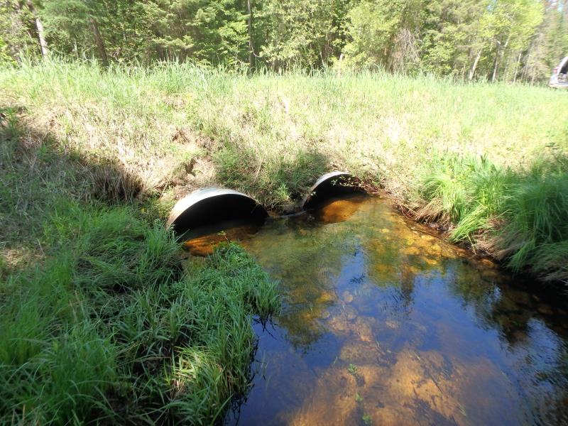
Inlet
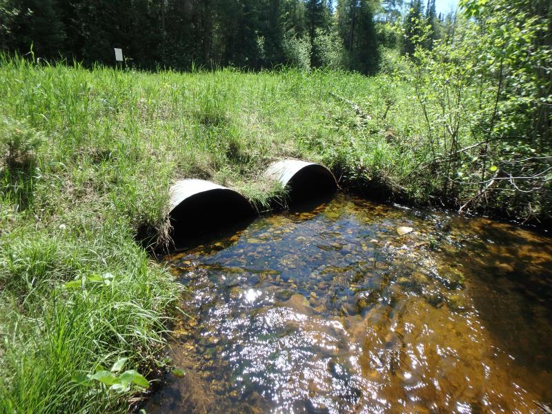
Outlet
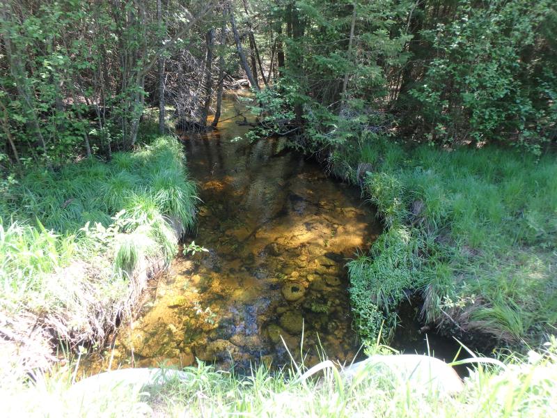
Upstream Conditions
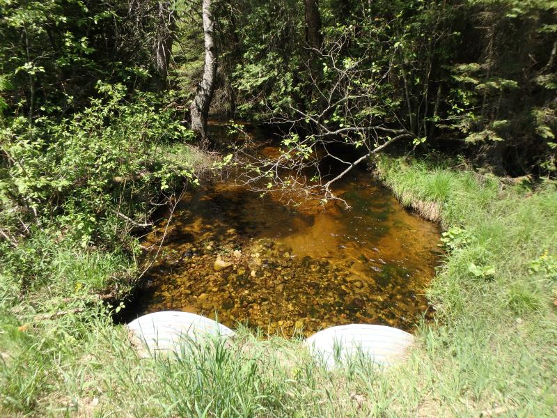
Downstream Conditions
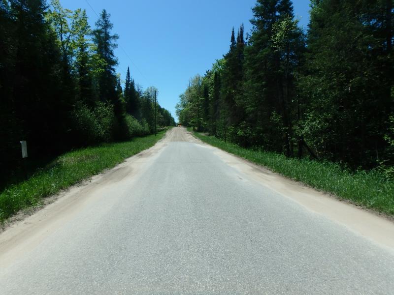
Road Approach - Left
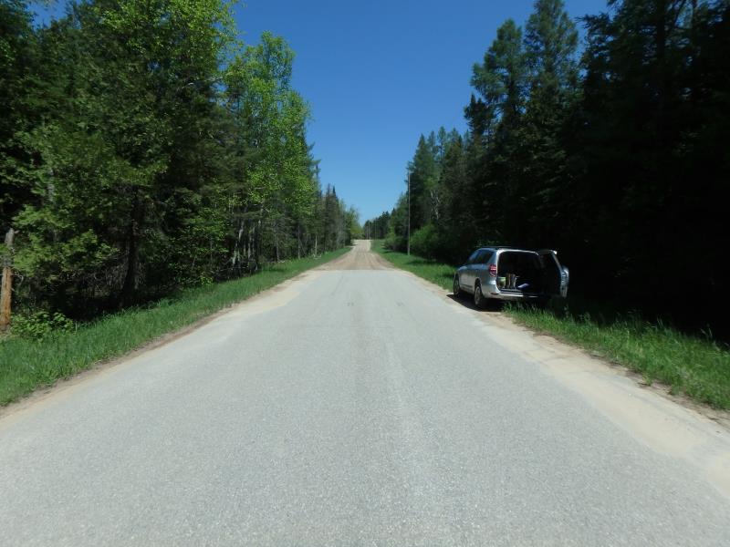
Road Approach - Right
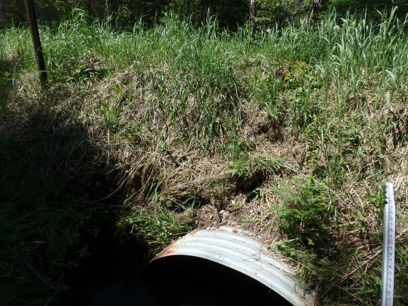
Erosion
Crossing Information
Type of Crossing: culvert(s)
Number of Structures: 2
Structure Shape: Pipe Arch
Inlet Type: Projecting
Outlet Type: At Stream Grade
Structure Material: Metal
Structure Substrate: Sand
General Conditions: Fair
Multiple Culverts/Spans | ||||
Culvert/Span | Width | Length | Height | Material |
1 |
4.3 ft. |
36 ft. |
2.6 ft. |
Metal |
2 |
4.2 ft. |
36 ft. |
2.7 ft. |
Metal |
Structure Interior: corrugated
Dimensions of Structure: Length 36 ft.
, Width 4.2 ft.
, Height 2.7 ft.
Structure Inlet
Water Depth: 1.4 ft.
Embedded Depth of Structure: 0.1 ft.
Water Velocity*: 1 ft./sec.
Structure Outlet
Water Depth: 0.7 ft.
Embedded Depth of Structure: 0.5 ft.
Water Velocity*: 1.4 ft./sec.
*Water Velocities were measured 0.4 ft. below Surface
(with Meter)
Additional Comments
Water depth and velocity measurements recorded for culvert #2
Stream Information
Stream Flow: Less than Bankfull
Riffle Information
Water Depth: 0.9 ft.
Bankfull Width: 14 ft.
Wetted Width: 11 ft.
Water Velocity: 0.8 ft./sec.
(Measured with Meter)
Dominant Substrate: Sand
Road Information
Paved
County Road
Road Condition: Fair
Road Width at Culvert: 22 ft.
Location of Low Point: Other
Runoff Path: Ditch
Embankments
Upstream
Fill Depth: 3.5 ft.
Slope: Vertical
Downstream
Fill Depth: 3 ft.
Slope: More than 1:2
Approaches
Left Approach
Length: 400 ft.
Slope: 1% to 5%
Vegetation: Heavy
LS Factor: 0.48
Erosion: 0.1396 tons/year
Right Approach
Length: 75 ft.
Slope: Less Than 1%
Vegetation: Heavy
LS Factor: 0.05
Erosion: 0.0027 tons/year
Erosion Information
Total Erosion at Crossing: 0.1454 tons/year
Extent of Erosion: Minor
Location of Erosion | Erosion Dimensions | Eroded Material | Material Eroded | Total Erosion | ||
facing downstream | Length | Width | Depth | Reaching Stream? | (tons/year) | |
Left Upstream Embankment |
4 ft. |
2 ft. |
0.5 ft. |
yes |
Gravelly Loam |
0.002 |
Right Upstream Embankment |
2 ft. |
2 ft. |
0.5 ft. |
yes |
Gravelly Loam |
0.001 |
Summary Information
Fish Passability 0.9
�