Road Stream Crossing Site GTBAY_S429
Boardman River Watershed, Bancroft Creek
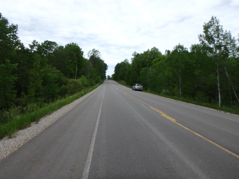
Voice Rd
Paradise Twp,
Grand Traverse County
Information collected by:
Site Location
GPS Coordinates: 44.60615
, -85.46899
T26N
R10W
Sec 36
Owned by Private
Fish Passability 0
Total Erosion: 2.1455 tons/year
Severity: Severe
Year Inventoried: 2020
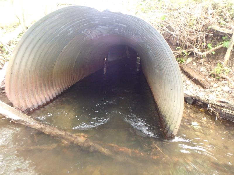
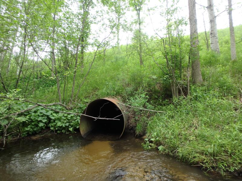
Inlet
Inlet
Inlet
Inlet
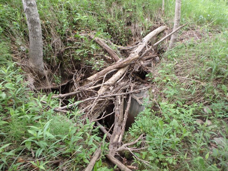
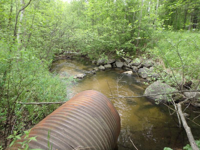
Outlet
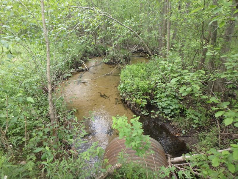
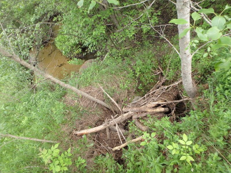
Upstream Conditions
Downstream Conditions
Road Approach - Left
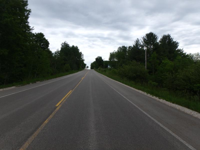
Road Approach - Right
Crossing Information
Type of Crossing: culvert(s)
Structure Shape: Round
Inlet Type: Projecting
Outlet Type: At Stream Grade
Structure Material: Metal
Structure Substrate: Sand
General Conditions: Poor
Structure Interior: corrugated
Structure is Rusted through
Dimensions of Structure: Length 135 ft.
, Width 4 ft.
, Height 4 ft.
Structure Inlet
Water Depth: 1.2 ft.
Embedded Depth of Structure: 0 ft.
Water Velocity*: 1.4 ft./sec.
Structure Outlet
Water Depth: 0.7 ft.
Embedded Depth of Structure: 0 ft.
Water Velocity*: 3.4 ft./sec.
*Water Velocities were measured 0.8 ft. below Surface
(with Meter)
Stream Information
Stream Flow: Less than 1/2 Bankfull
Riffle Information
Water Depth: 0.5 ft.
Bankfull Width: 13 ft.
Wetted Width: 10.6 ft.
Water Velocity: 1.3 ft./sec.
(Measured with Meter)
Dominant Substrate: Sand
Road Information
Paved
County Road
Road Condition: Good
Road Width at Culvert: 33 ft.
Location of Low Point: At Stream
Runoff Path: Ditch
Embankments
Upstream
Fill Depth: 20 ft.
Slope: 1:1.5
Downstream
Fill Depth: 20 ft.
Slope: 1:1.5
Approaches
Left Approach
Length: 500 ft.
Slope: 1% to 5%
Vegetation: Heavy
LS Factor: 0.5
Erosion: 0.2727 tons/year
Right Approach
Length: 500 ft.
Slope: 1% to 5%
Vegetation: Heavy
LS Factor: 0.5
Erosion: 0.2727 tons/year
Erosion Information
Total Erosion at Crossing: 2.1455 tons/year
Extent of Erosion: Severe
Notes: Culvert is rusted through and cracked causing erosion on embankment.
Location of Erosion | Erosion Dimensions | Eroded Material | Material Eroded | Total Erosion | ||
facing downstream | Length | Width | Depth | Reaching Stream? | (tons/year) | |
Right Upstream Embankment |
8 ft. |
5 ft. |
5 ft. |
yes |
Gravelly Loam |
0.8 |
Left Upstream Embankment |
8 ft. |
5 ft. |
5 ft. |
yes |
Gravelly Loam |
0.8 |
Summary Information
Fish Passability 0
Erosion is an area of concern for this site.
A future visit to this site is recommended. Degraded culvert
These non-native species were observerd at this site: Autumn Olive, Thistle
�