Road Stream Crossing Site GTBAY_S700
Boardman River Watershed, Carpenter Creek
Lake Rd/ORV Trail
Union Twp,
Grand Traverse County
Information collected by:
Site Location
GPS Coordinates: 44.638891
, -85.37364
T26N
R9W
Sec 23
Owned by State
Fish Passability 0
Perch Height: 0.1 ft.
Total Erosion: 0.4378 tons/year
Severity: Severe
Year Inventoried: 2020
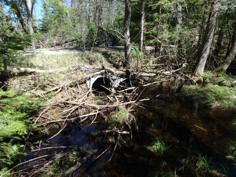
Inlet
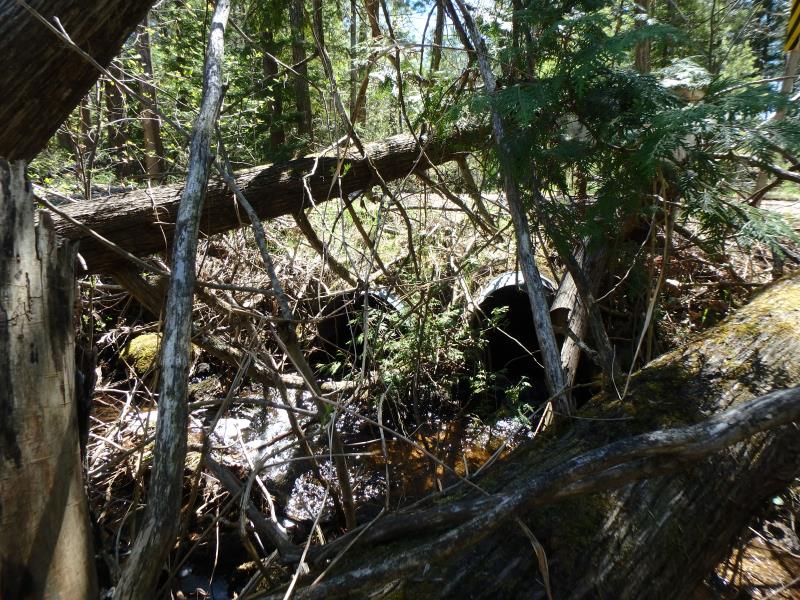
Outlet
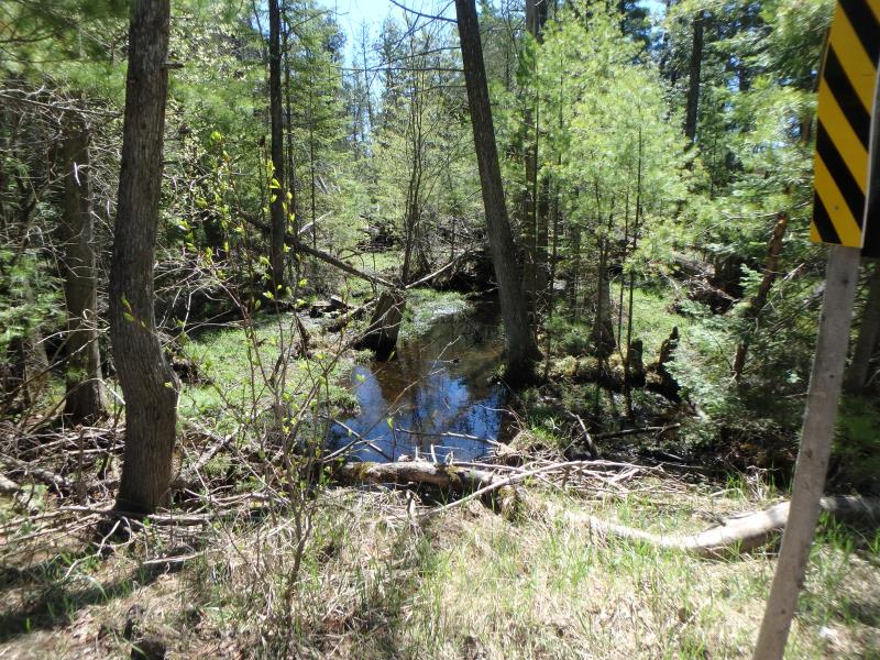
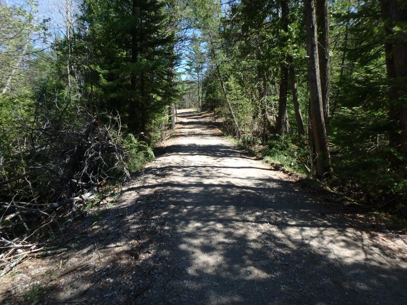
Upstream Conditions
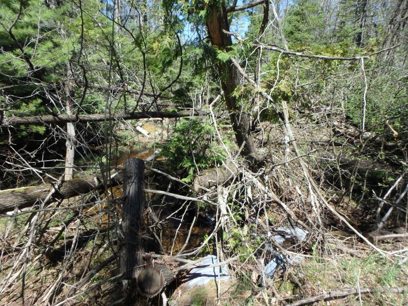
Downstream Conditions
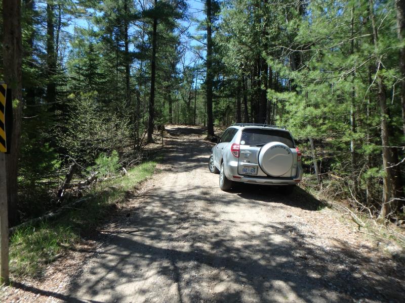
Road Approach - Left
Road Approach - Right
Crossing Information
Type of Crossing: culvert(s)
Number of Structures: 2
Structure Shape: Round
Inlet Type: Projecting
Outlet Type: At Stream Grade
Structure Material: Metal
Structure Substrate: None
General Conditions: Fair
Multiple Culverts/Spans | ||||
Culvert/Span | Width | Length | Height | Material |
1 |
2 ft. |
25 ft. |
2 ft. |
Metal |
2 |
2 ft. |
25 ft. |
2 ft. |
Metal |
Structure Interior: corrugated
Dimensions of Structure: Length 25 ft.
, Width 2 ft.
, Height 2 ft.
Percentage Crushed:
Outlet: 1% to 25%
Perch Height: 0.1 ft.
Structure Inlet
Water Depth: 0.3 ft.
Embedded Depth of Structure: 0 ft.
Water Velocity*: 0.7 ft./sec.
Structure Outlet
Water Depth: 0.1 ft.
Embedded Depth of Structure: 0 ft.
Water Velocity*: 2.2 ft./sec.
*Water Velocities were measured 0.2 ft. below Surface
(with Meter)
Stream Information
Stream Flow: Less than Bankfull
Riffle Information
Water Depth: 0.6 ft.
Bankfull Width: 6 ft.
Wetted Width: 4 ft.
Water Velocity: 0.9 ft./sec.
(Measured with Meter)
Dominant Substrate: Sand
Road Information
Gravel
Other Road
Road Condition: Poor
Road Width at Culvert: 13 ft.
Location of Low Point: At Stream
Runoff Path: Ditch
Embankments
Upstream
Fill Depth: 1 ft.
Slope: More than 1:2
Downstream
Fill Depth: 1 ft.
Slope: More than 1:2
Approaches
Left Approach
Length: 150 ft.
Slope: 1% to 5%
Vegetation: Heavy
LS Factor: 0.4
Erosion: 0.2149 tons/year
Right Approach
Length: 150 ft.
Slope: 1% to 5%
Vegetation: Heavy
LS Factor: 0.4
Erosion: 0.2149 tons/year
Erosion Information
Total Erosion at Crossing: 0.4378 tons/year
Extent of Erosion: Minor
Location of Erosion | Erosion Dimensions | Eroded Material | Material Eroded | Total Erosion | ||
facing downstream | Length | Width | Depth | Reaching Stream? | (tons/year) | |
Right Downstream Embankment |
10 ft. |
2 ft. |
0.4 ft. |
yes |
Gravelly Loam |
0.004 |
Left Downstream Embankment |
10 ft. |
2 ft. |
0.4 ft. |
yes |
Gravelly Loam |
0.004 |
Summary Information
Fish Passability 0
�