Road Stream Crossing Site GTBAY_S702
Boardman River Watershed, Kids Creek
Bike Trail
Garfield Twp,
Grand Traverse County
Information collected by:
Site Location
GPS Coordinates: 44.75203
, -85.63899
T27N
R11W
Sec 09
Owned by Local Government
Fish Passability 0.9
Total Erosion: 0.8298 tons/year
Severity: Moderate
Year Inventoried: 2020
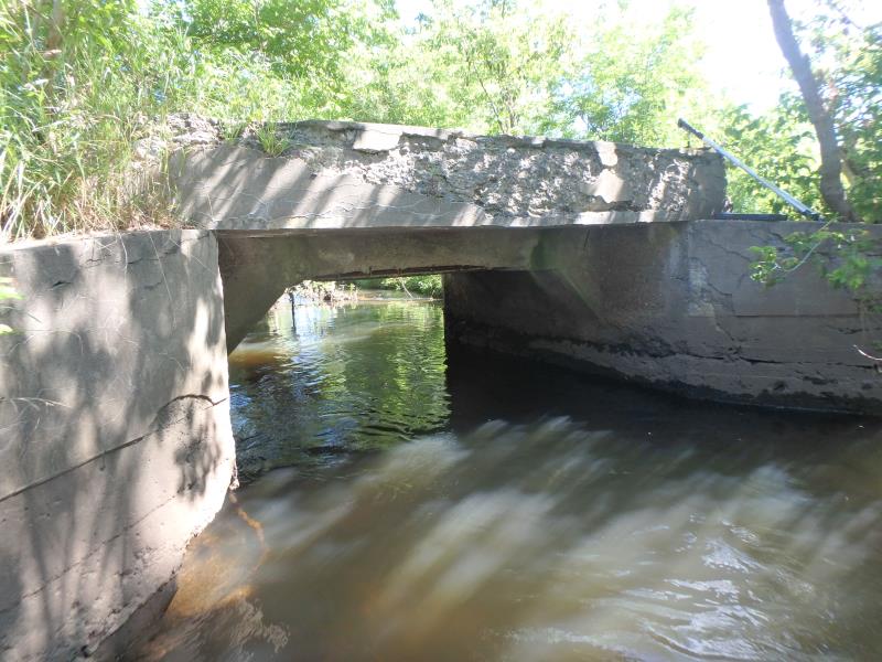
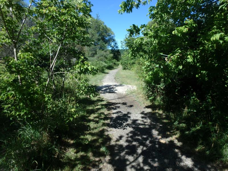
Inlet
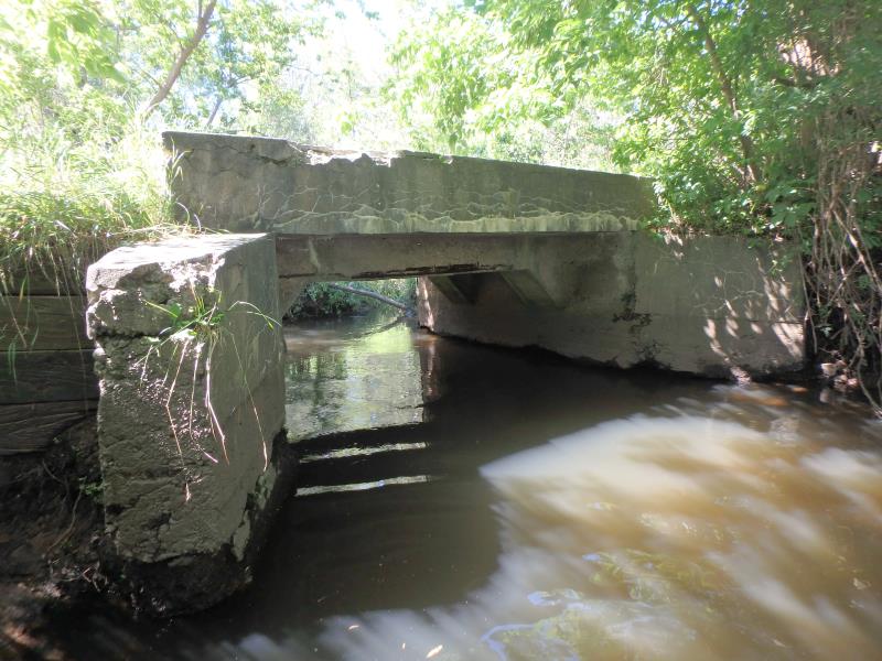
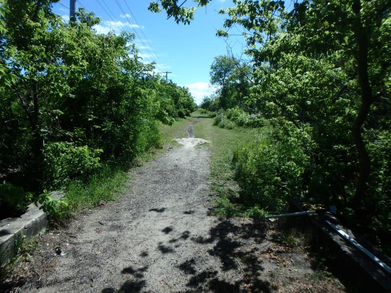
Outlet
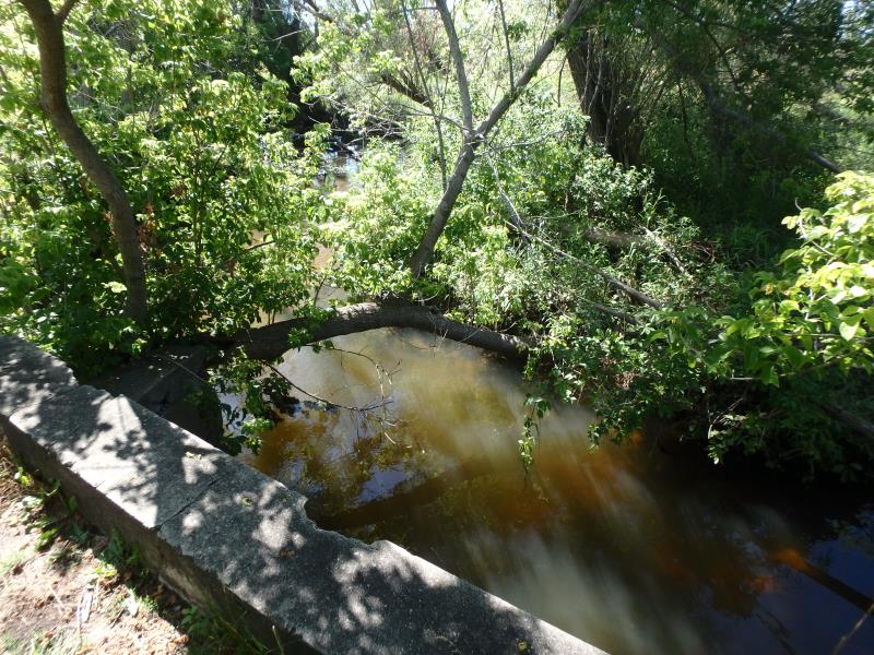
Upstream Conditions
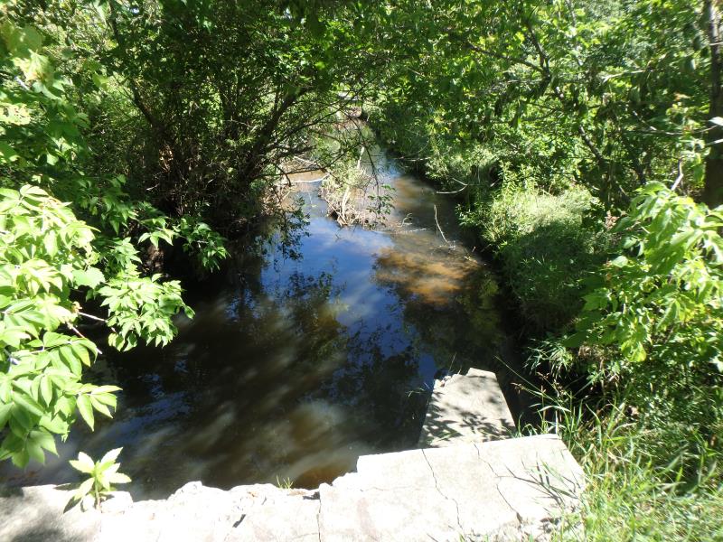
Downstream Conditions
Road Approach - Left
Road Approach - Right
Crossing Information
Type of Crossing: Bridge
Structure Shape: Open Bottom Square/Rectangle
Inlet Type: Wingwall 30-70 Degree
Outlet Type: At Stream Grade
Structure Material: Concrete
Structure Substrate: Rock
General Conditions: Fair
Structure Interior: smooth
Dimensions of Structure: Length 12 ft.
, Width 10 ft.
, Height 6.7 ft.
Structure Inlet
Water Depth: 4 ft.
Embedded Depth of Structure: 0 ft.
Water Velocity*: 0.4 ft./sec.
Structure Outlet
Water Depth: 3.7 ft.
Embedded Depth of Structure: 0 ft.
Water Velocity*: 0.4 ft./sec.
*Water Velocities were measured 2.4 ft. below Surface
(with Meter)
Stream Information
Stream Flow: Less than Bankfull
Riffle Information
Water Depth: 3 ft.
Bankfull Width: 12.5 ft.
Wetted Width: 10.5 ft.
Water Velocity: 1.1 ft./sec.
(Measured with Meter)
Dominant Substrate: Sand
Road Information
Gravel
Private Road
Road Condition: Poor
Road Width at Culvert: 10 ft.
Location of Low Point: Other
Runoff Path: Ditch
Embankments
Upstream
Fill Depth: 2.5 ft.
Slope: Vertical
Downstream
Fill Depth: 2.5 ft.
Slope: Vertical
Approaches
Left Approach
Length: 25 ft.
Slope: Less Than 1%
Vegetation: Heavy
LS Factor: 0.05
Erosion: 0.0034 tons/year
Right Approach
Length: 25 ft.
Slope: 1% to 5%
Vegetation: Heavy
LS Factor: 0.29
Erosion: 0.02 tons/year
Erosion Information
Total Erosion at Crossing: 0.8298 tons/year
Extent of Erosion: Severe
Notes: Also undercutting structure in crossing
Location of Erosion | Erosion Dimensions | Eroded Material | Material Eroded | Total Erosion | ||
facing downstream | Length | Width | Depth | Reaching Stream? | (tons/year) | |
Left Upstream Embankment |
3 ft. |
3 ft. |
2 ft. |
yes |
Sandy Loam |
0.1152 |
Right Upstream Embankment |
6 ft. |
2 ft. |
4 ft. |
yes |
Sandy Loam |
0.4608 |
Right Downstream Embankment |
3 ft. |
3 ft. |
4 ft. |
yes |
Sandy Loam |
0.2304 |
Summary Information
Fish Passability 0.9
Erosion is an area of concern for this site.
A future visit to this site is recommended. Evaluate state of bridge. Concrete degrading
�