Road Stream Crossing Site GTBAY_S717B
Boardman River Watershed, S Branch Boardman River Tributary
Butler Road
Boardman Twp,
Kalkaska County
Information collected by:
Site Location
GPS Coordinates: 44.637101
, -85.279764
T26N
R8W
Sec 21
Owned by Private
Fish Passability 0.9
Total Erosion: 0.0824 tons/year
Severity: Moderate
Year Inventoried: 2020
Inlet
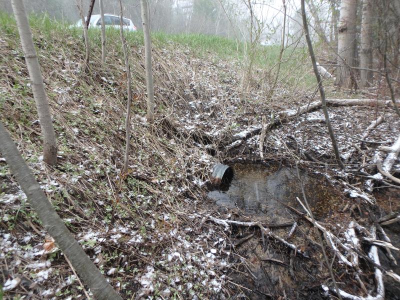
Outlet
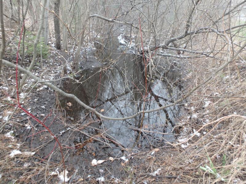
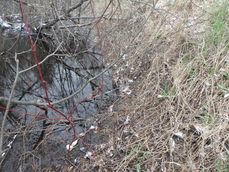
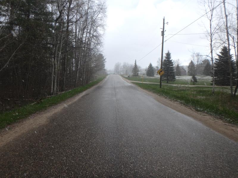
Upstream Conditions
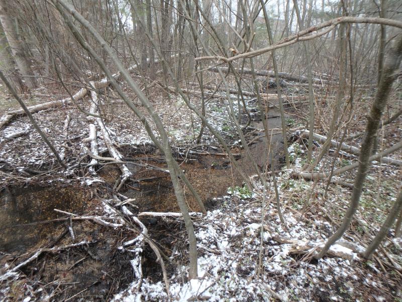
Downstream Conditions
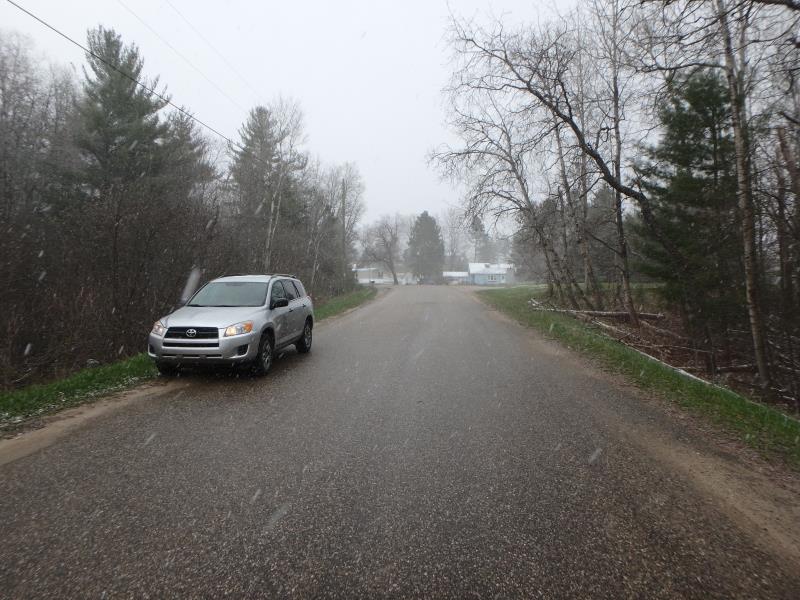
Road Approach - Left
Road Approach - Right
Crossing Information
Type of Crossing: culvert(s)
Structure Shape: Round
Inlet Type: Projecting
Outlet Type: At Stream Grade
Structure Material: Metal
Structure Substrate: Sand
General Conditions: Fair
Structure Interior: corrugated
Dimensions of Structure: Length 44 ft.
, Width 1.3 ft.
, Height 1.3 ft.
Percentage Plugged:
Inlet: 26% to 50%
Structure Inlet
Water Depth: 0.3 ft.
Embedded Depth of Structure: 0.5 ft.
Water Velocity*: 0.1 ft./sec.
Structure Outlet
Water Depth: 0.8 ft.
Embedded Depth of Structure: 0 ft.
Water Velocity*: 0.1 ft./sec.
*Water Velocities were measured at the Surface
(with Float Test)
Additional Comments
Largemouth bass observed upstream
Stream Information
Stream Flow: Less than Bankfull
Scour Pool: Length 5 ft.
, Width 5 ft.
, Depth 0.6 ft.
Riffle Information
Water Depth: 0.1 ft.
Bankfull Width: 5.5 ft.
Wetted Width: 2.5 ft.
Water Velocity: 1.2 ft./sec.
(Measured with Meter)
Dominant Substrate: Gravel
Road Information
Paved
County Road
Road Condition: Good
Road Width at Culvert: 22 ft.
Location of Low Point: At Stream
Runoff Path: Ditch
Embankments
Upstream
Fill Depth: 5.5 ft.
Slope: 1:1.5
Downstream
Fill Depth: 5.5 ft.
Slope: Vertical
Approaches
Left Approach
Length: 250 ft.
Slope: 1% to 5%
Vegetation: Heavy
LS Factor: 0.44
Erosion: 0.08 tons/year
Right Approach
Length: 50 ft.
Slope: Less Than 1%
Vegetation: Heavy
LS Factor: 0.05
Erosion: 0.0018 tons/year
Erosion Information
Total Erosion at Crossing: 0.0824 tons/year
Extent of Erosion: Minor
Location of Erosion | Erosion Dimensions | Eroded Material | Material Eroded | Total Erosion | ||
facing downstream | Length | Width | Depth | Reaching Stream? | (tons/year) | |
Right Upstream Embankment |
3 ft. |
3 ft. |
0.2 ft. |
yes |
Gravelly Loam |
0.0006 |
Summary Information
Fish Passability 0.9
Fish Passage is an area of concern for this site.
Instream berm in front of outlet
A future visit to this site is recommended. Inlet easily clogged.
�