Road Stream Crossing Site GTBAY_S718
Boardman River Watershed, S Branch Boardman River
Railroad
Boardman Twp,
Kalkaska County
Information collected by:
Site Location
GPS Coordinates: 44.638335
, -85.282017
T26N
R8W
Sec 21
Owned by Private
Total Erosion: 0.0072 tons/year
Severity: Minor
Year Inventoried: 2020
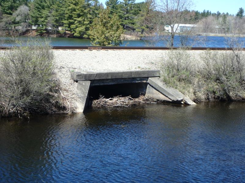
Inlet
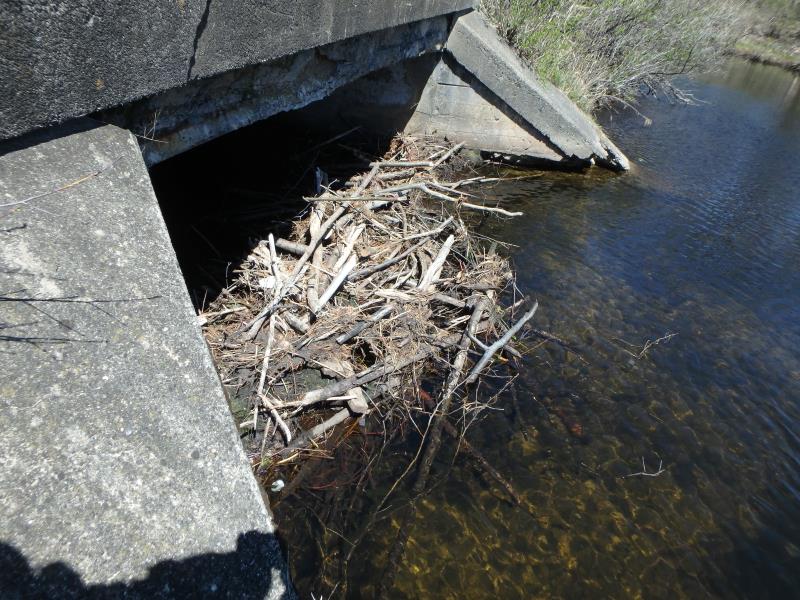
Inlet
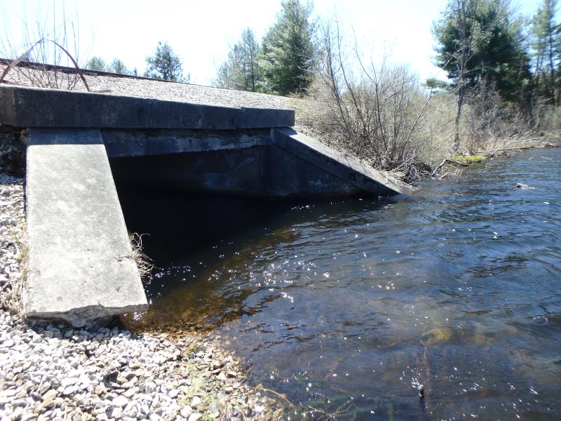
Outlet
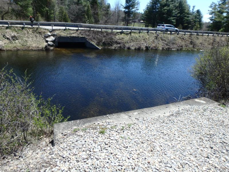
Upstream Conditions
Downstream Conditions
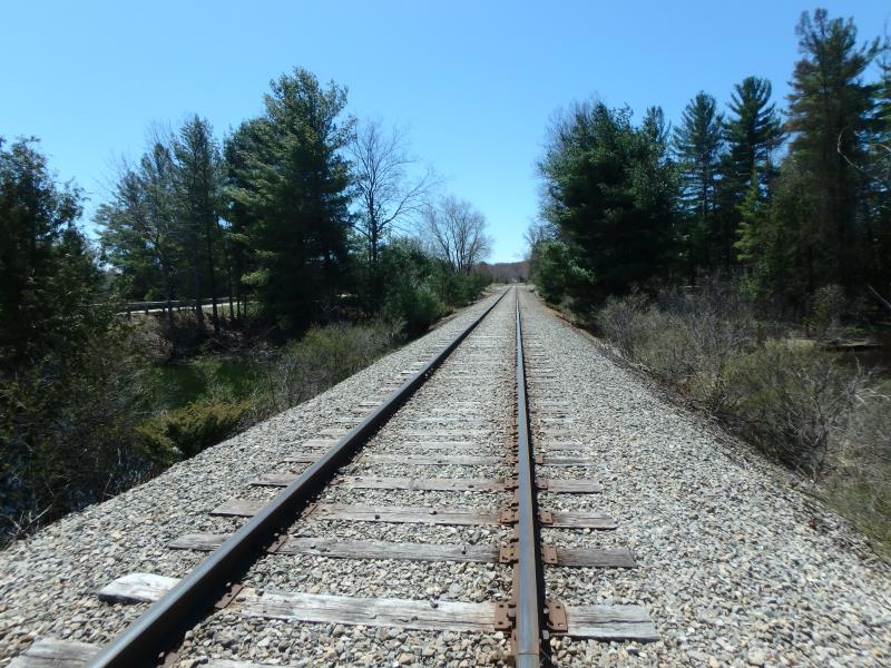
Road Approach - Left
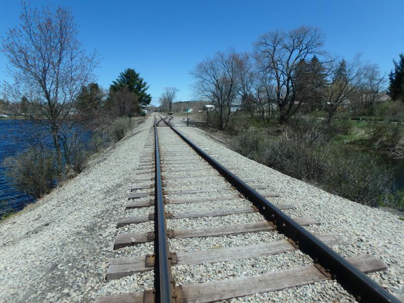
Road Approach - Right
Crossing Information
Type of Crossing: culvert(s)
Structure Shape: Open Bottom Square/Rectangle
Inlet Type: Wingwall 10-30 Degree
Outlet Type: At Stream Grade
Structure Material: Concrete
Structure Substrate: Sand
General Conditions: Fair
Structure Interior: smooth
Dimensions of Structure: Length 32 ft.
, Width 11.5 ft.
, Height 6.3 ft.
Percentage Plugged:
Inlet: 26% to 50%
Structure Inlet
Water Depth: 2.7 ft.
Embedded Depth of Structure: 0 ft.
Water Velocity*: 0.1 ft./sec.
Structure Outlet
Water Depth: 2.7 ft.
Embedded Depth of Structure: 0 ft.
Water Velocity*: 0.1 ft./sec.
*Water Velocities were measured at the Surface
(with Float Test)
Stream Information
Stream Flow: Less than Bankfull
Road Information
Gravel
Other Road
Road Condition: Fair
Road Width at Culvert: 5.2 ft.
Location of Low Point: At Stream
Runoff Path: Ditch
Embankments
Upstream
Fill Depth: 3 ft.
Slope: 1:1.5
Downstream
Fill Depth: 3 ft.
Slope: 1:1.5
Approaches
Left Approach
Length: 50 ft.
Slope: Less Than 1%
Vegetation: None
LS Factor: 0.05
Erosion: 0.0036 tons/year
Right Approach
Length: 50 ft.
Slope: Less Than 1%
Vegetation: None
LS Factor: 0.05
Erosion: 0.0036 tons/year
Erosion Information
Total Erosion at Crossing: 0.0072 tons/year
Summary Information
�