Road Stream Crossing Site GTBAY_S719
Boardman River Watershed, S Branch Boardman River
US-131
Boardman Twp,
Kalkaska County
Information collected by:
Site Location
GPS Coordinates: 44.643936
, -85.283015
T26N
R8W
Sec 16
Owned by Local Government
Fish Passability 0
Total Erosion: 0.0182 tons/year
Severity: Severe
Year Inventoried: 2020
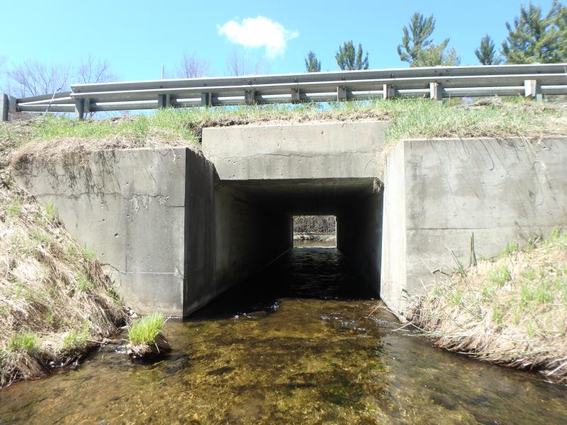
Inlet
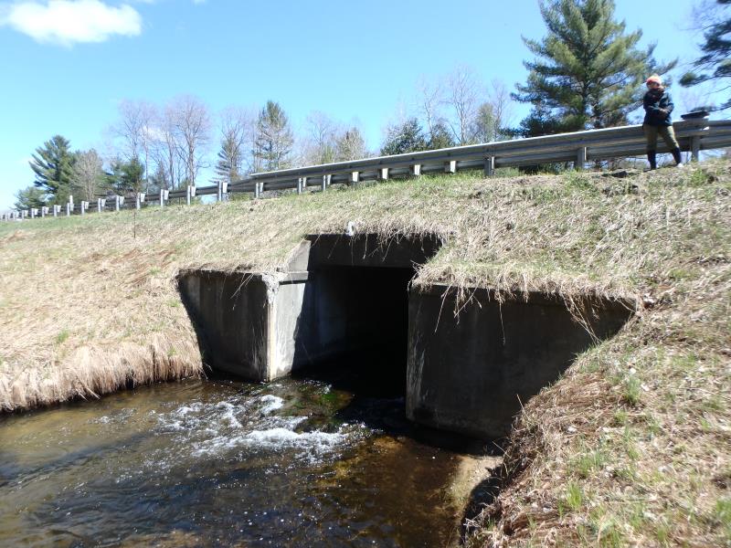
Outlet
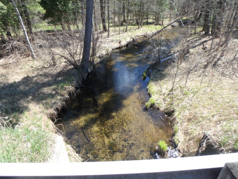
Upstream Conditions
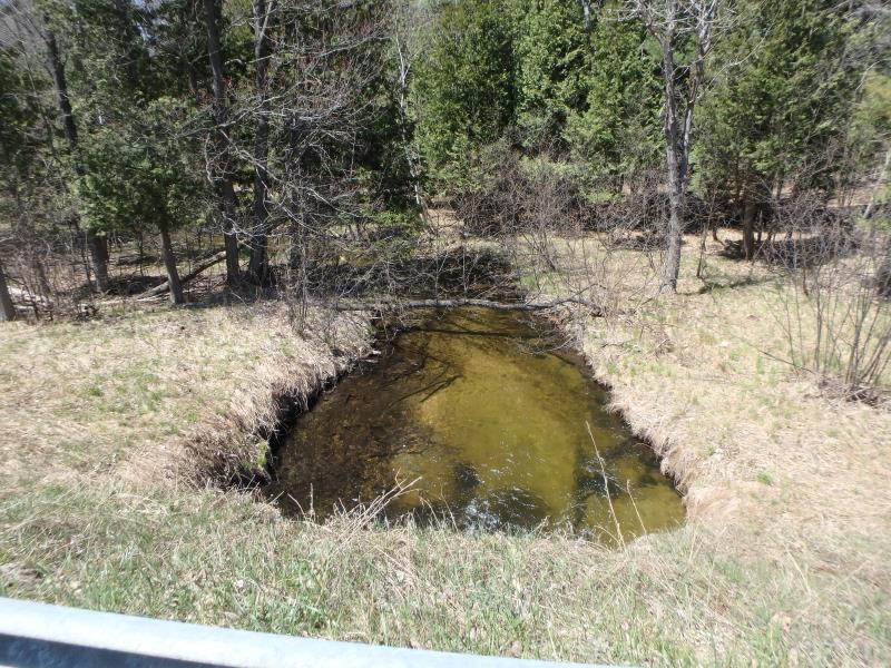
Downstream Conditions
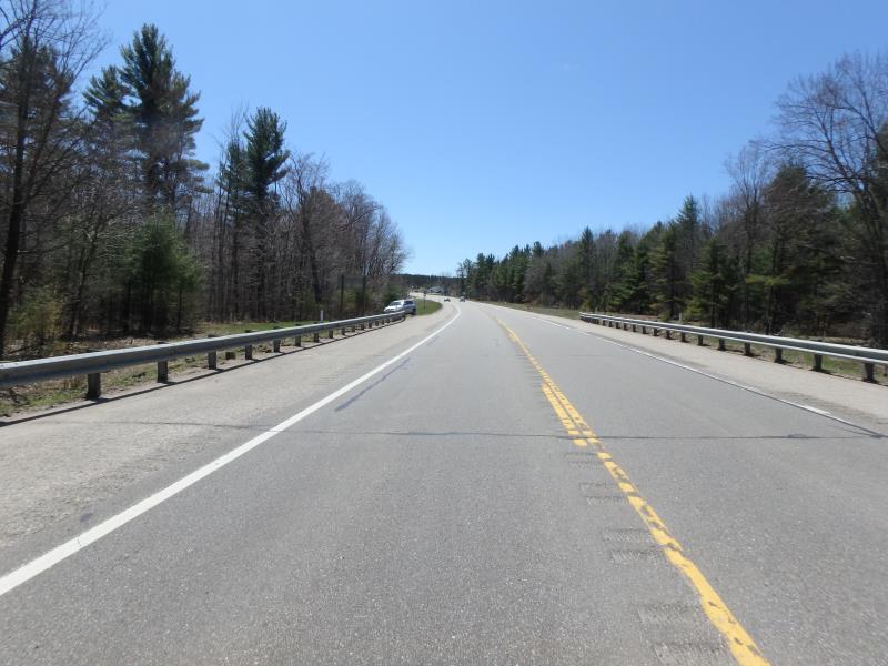
Road Approach - Left
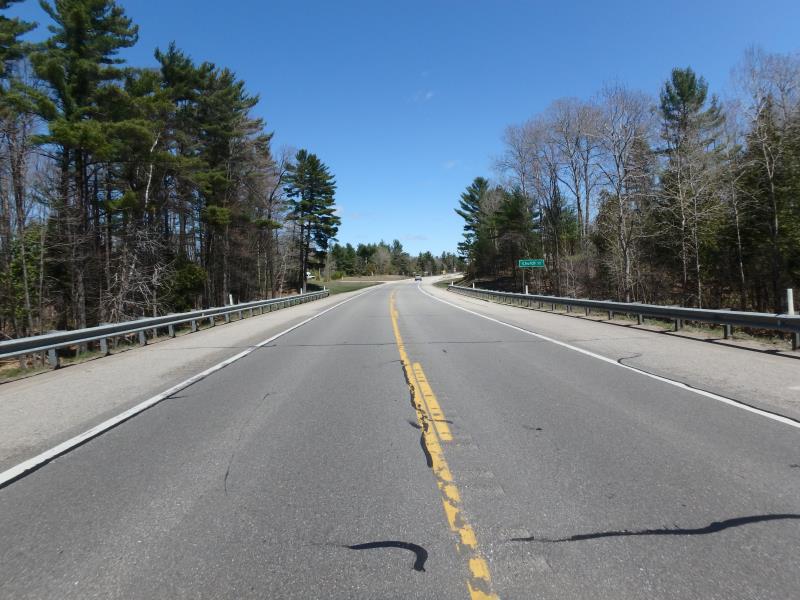
Road Approach - Right
Crossing Information
Type of Crossing: culvert(s)
Structure Shape: Square/Rectangle
Inlet Type: Headwall
Outlet Type: Cascade over Riprap
Structure Material: Concrete
Structure Substrate: Rock
General Conditions: Good
Structure Interior: smooth
Dimensions of Structure: Length 58 ft.
, Width 10 ft.
, Height 8 ft.
Structure Inlet
Water Depth: 0.9 ft.
Embedded Depth of Structure: 0 ft.
Water Velocity*: 3 ft./sec.
Structure Outlet
Water Depth: 0.8 ft.
Embedded Depth of Structure: 0 ft.
Water Velocity*: 3.7 ft./sec.
*Water Velocities were measured 0.5 ft. below Surface
(with Meter)
Stream Information
Stream Flow: Less than 1/2 Bankfull
Scour Pool: Length 20 ft.
, Width 18 ft.
, Depth 2 ft.
Riffle Information
Water Depth: 0.8 ft.
Bankfull Width: 24 ft.
Wetted Width: 23 ft.
Water Velocity: 1.6 ft./sec.
(Measured with Meter)
Dominant Substrate: Sand
Road Information
Paved
Federal Road
Road Condition: Good
Road Width at Culvert: 44 ft.
Location of Low Point: Other
Runoff Path: Ditch
Embankments
Upstream
Fill Depth: 5 ft.
Slope: Vertical
Downstream
Fill Depth: 6 ft.
Slope: 1:2
Approaches
Left Approach
Length: 150 ft.
Slope: Less Than 1%
Vegetation: Partial
LS Factor: 0.05
Erosion: 0.0109 tons/year
Right Approach
Length: 100 ft.
Slope: Less Than 1%
Vegetation: Partial
LS Factor: 0.05
Erosion: 0.0073 tons/year
Erosion Information
Total Erosion at Crossing: 0.0182 tons/year
Summary Information
Fish Passability 0
�