Road Stream Crossing Site GTBAY_S721
Boardman River Watershed, Boardman River
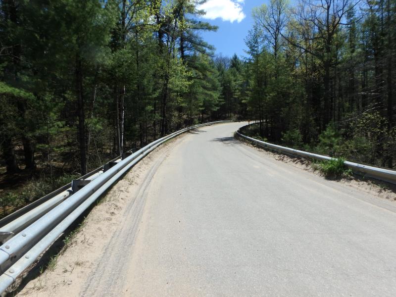
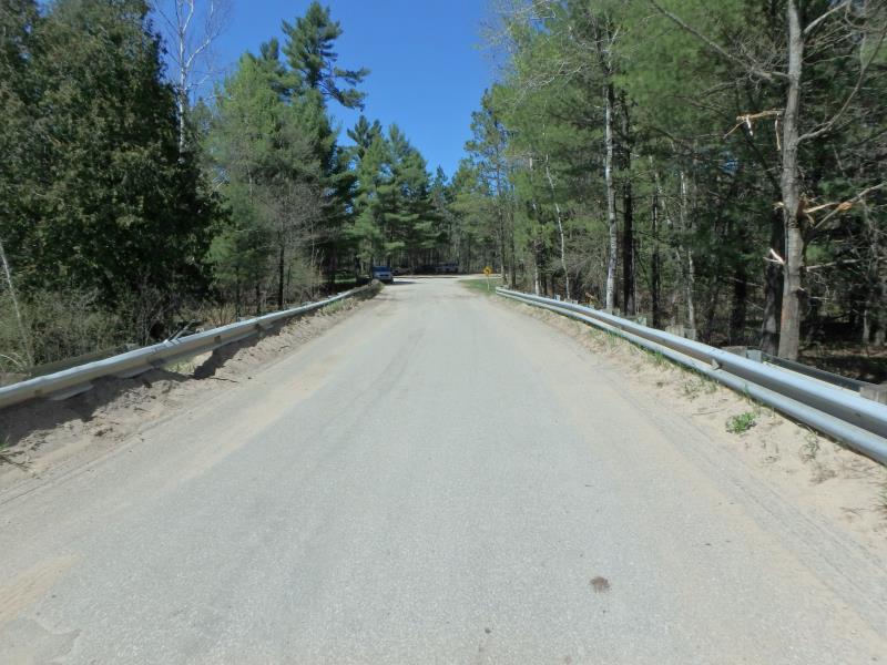
Brown Bridge Rd
Union Twp,
Grand Traverse County
Information collected by:
Site Location
GPS Coordinates: 44.65169
, -85.45515
T26N
R9W
Sec 18
Owned by State
Fish Passability 1
Total Erosion: 0.1376 tons/year
Severity: Moderate
Year Inventoried: 2020
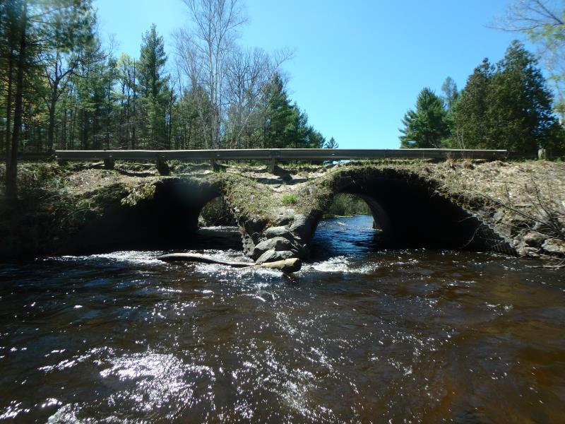
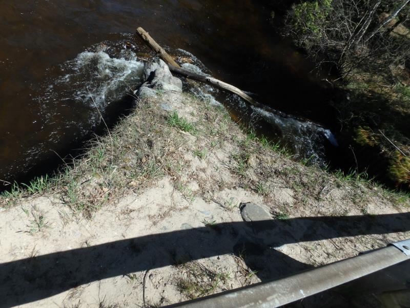
Inlet
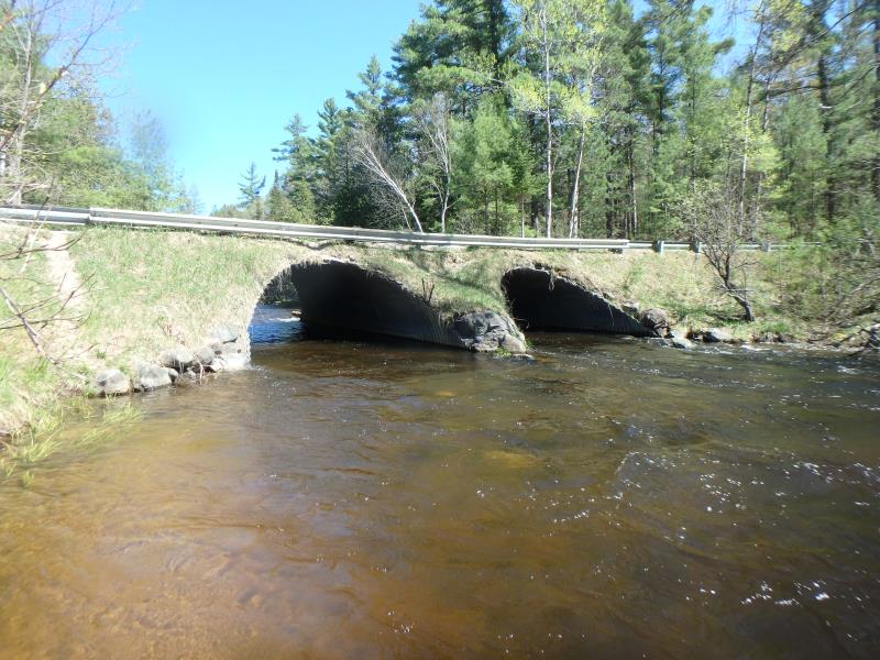
Outlet
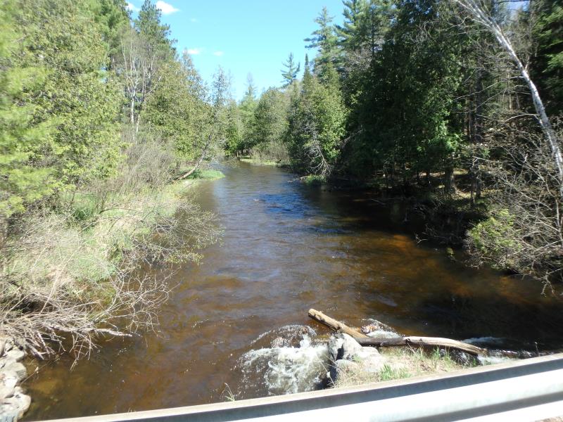
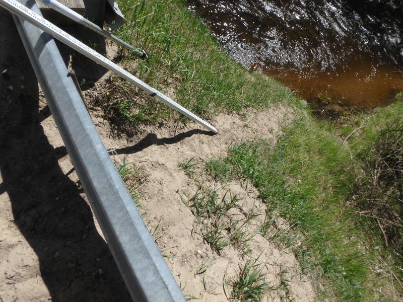
Upstream Conditions
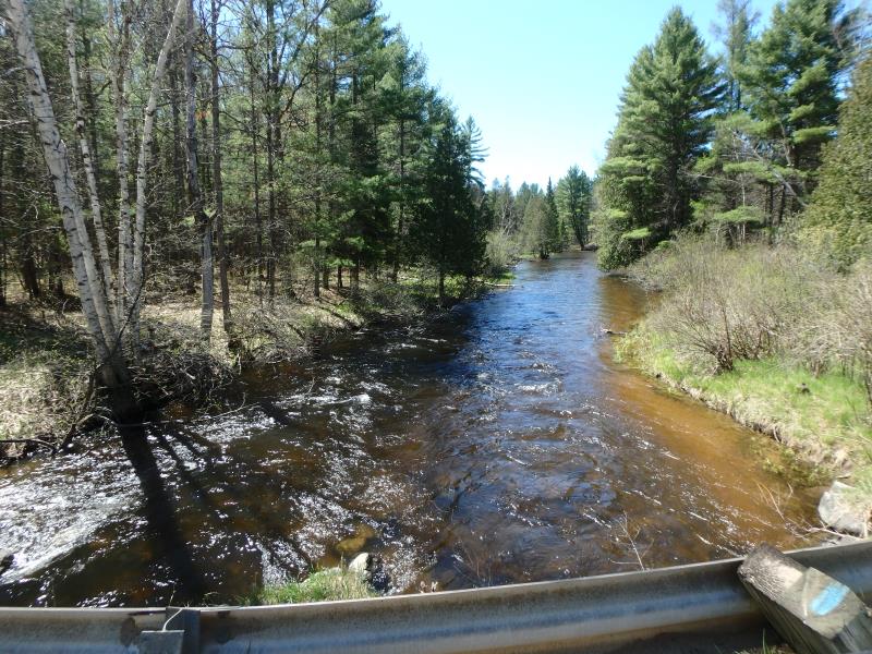
Downstream Conditions
Road Approach - Left
Road Approach - Right
Erosion
Erosion
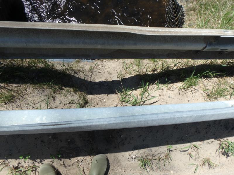
Erosion
Erosion
Crossing Information
Type of Crossing: culvert(s)
Number of Structures: 2
Structure Shape: Pipe Arch
Inlet Type: Mitered
Outlet Type: At Stream Grade
Structure Material: Metal
Structure Substrate: Rock
General Conditions: Fair
Multiple Culverts/Spans | ||||
Culvert/Span | Width | Length | Height | Material |
1 |
15.5 ft. |
58 ft. |
9 ft. |
Metal |
2 |
15.5 ft. |
58 ft. |
9 ft. |
Metal |
Structure Interior: corrugated
Dimensions of Structure: Length 58 ft.
, Width 15.5 ft.
, Height 9 ft.
Structure Inlet
Water Depth: 2.5 ft.
Embedded Depth of Structure: 0 ft.
Water Velocity*: 3.7 ft./sec.
Structure Outlet
Water Depth: 2.3 ft.
Embedded Depth of Structure: 0 ft.
Water Velocity*: 4 ft./sec.
*Water Velocities were measured 1.5 ft. below Surface
(with Meter)
Additional Comments
Water depth and velocity measurements recorded for culvert #1. Structure velocities similar to riffle velocity. Recommend changing passage score to 1 and severity to moderate for erosion
Stream Information
Stream Flow: Bankfull
Riffle Information
Water Depth: 1.8 ft.
Bankfull Width: 40 ft.
Wetted Width: 40 ft.
Water Velocity: 3.7 ft./sec.
(Measured with Meter)
Dominant Substrate: Cobble
Road Information
Paved
County Road
Road Condition: Fair
Road Width at Culvert: 19 ft.
Location of Low Point: Other
Runoff Path: Roadway
Embankments
Upstream
Fill Depth: 1 ft.
Slope: Vertical
Downstream
Fill Depth: 1 ft.
Slope: Vertical
Approaches
Left Approach
Length: 200 ft.
Slope: 1% to 5%
Vegetation: Heavy
LS Factor: 0.43
Erosion: 0.054 tons/year
Right Approach
Length: 100 ft.
Slope: Less Than 1%
Vegetation: Heavy
LS Factor: 0.05
Erosion: 0.0031 tons/year
Erosion Information
Total Erosion at Crossing: 0.1376 tons/year
Extent of Erosion: Moderate
Location of Erosion | Erosion Dimensions | Eroded Material | Material Eroded | Total Erosion | ||
facing downstream | Length | Width | Depth | Reaching Stream? | (tons/year) | |
Left Upstream Embankment |
15 ft. |
4 ft. |
0.5 ft. |
yes |
Sandy Loam |
0.0504 |
Right Downstream Embankment |
10 ft. |
1 ft. |
0.3 ft. |
yes |
Sand |
0.0231 |
Left Downstream Embankment |
3 ft. |
1 ft. |
0.3 ft. |
yes |
Sand |
0.0069 |
Summary Information
Fish Passability 1
�