Road Stream Crossing Site GTBAY_S749
Boardman River Watershed, Jackson Creek
Sparling Rd
Paradise Twp,
Grand Traverse County
Information collected by:
Site Location
GPS Coordinates: 44.570112
, -85.482005
T25N
R10W
Sec 14
Owned by Private
Fish Passability 1
Total Erosion: 0.1929 tons/year
Severity: Minor
Year Inventoried: 2020
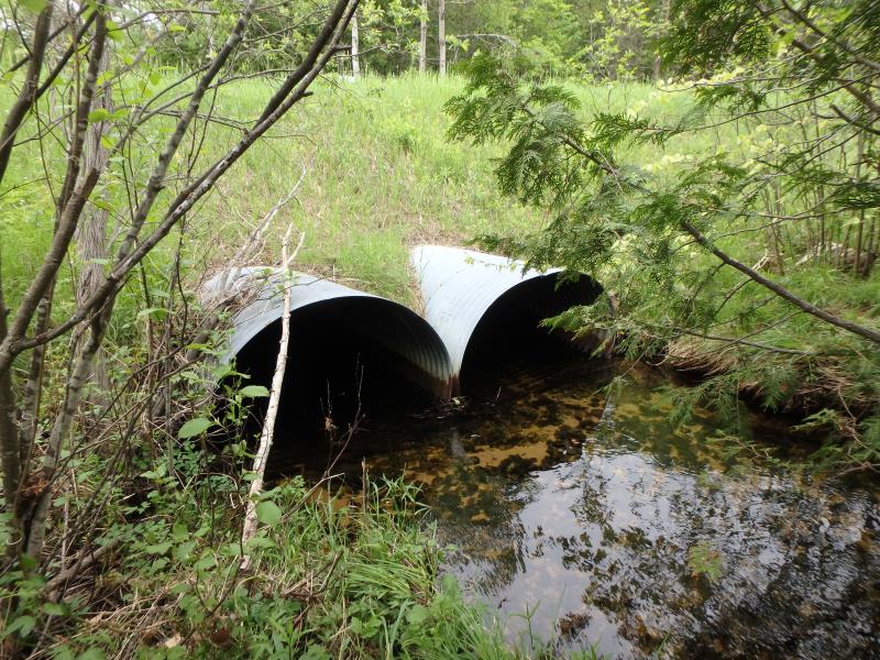
Inlet
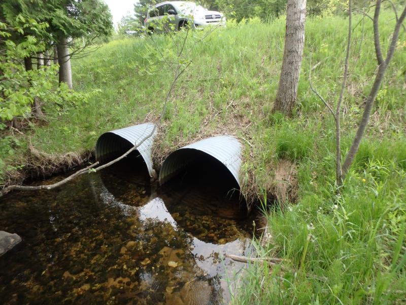
Outlet
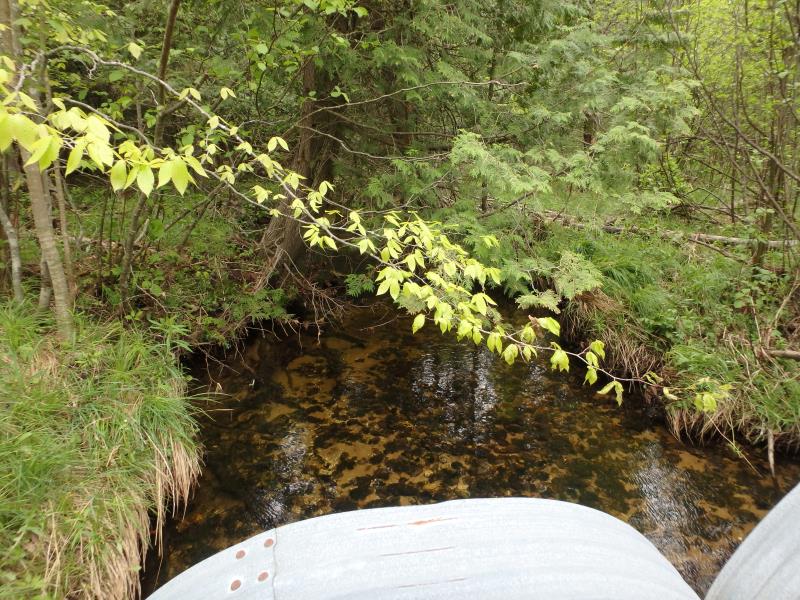
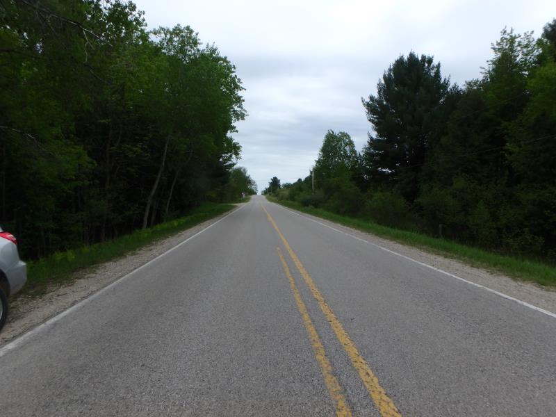
Upstream Conditions
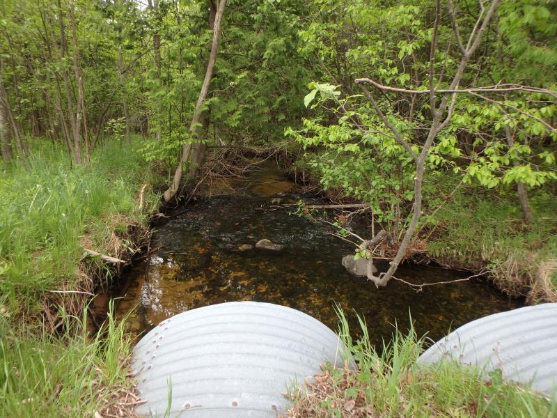
Downstream Conditions
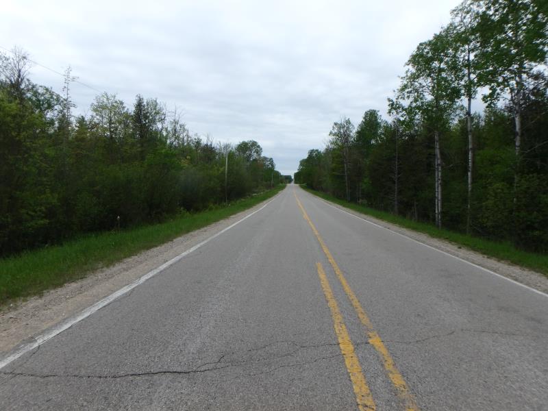
Road Approach - Left
Road Approach - Right
Crossing Information
Type of Crossing: culvert(s)
Number of Structures: 2
Structure Shape: Pipe Arch
Inlet Type: Projecting
Outlet Type: At Stream Grade
Structure Material: Metal
Structure Substrate: None
General Conditions: Good
Multiple Culverts/Spans | ||||
Culvert/Span | Width | Length | Height | Material |
1 |
4.6 ft. |
75 ft. |
3.3 ft. |
Metal |
2 |
4.7 ft. |
75 ft. |
3.1 ft. |
Metal |
Structure Interior: corrugated
Dimensions of Structure: Length 75 ft.
, Width 4.6 ft.
, Height 3.3 ft.
Structure Inlet
Water Depth: 0.6 ft.
Embedded Depth of Structure: 0 ft.
Water Velocity*: 1.1 ft./sec.
Structure Outlet
Water Depth: 0.9 ft.
Embedded Depth of Structure: 0 ft.
Water Velocity*: 0.5 ft./sec.
*Water Velocities were measured 0.3 ft. below Surface
(with Meter)
Additional Comments
Water depth and velocity measurements recorded for culvert #1. Flagged for structure length and no substrate within. Also possibly because algorythm does not account for double culvert to banfull ratio. Change Passability to 1 and severity to Minor.
Stream Information
Stream Flow: Less than Bankfull
Riffle Information
Water Depth: 1 ft.
Bankfull Width: 10 ft.
Wetted Width: 9 ft.
Water Velocity: 0.9 ft./sec.
(Measured with Meter)
Dominant Substrate: Sand
Road Information
Paved
County Road
Road Condition: Good
Road Width at Culvert: 23 ft.
Location of Low Point: Other
Runoff Path: Ditch
Embankments
Upstream
Fill Depth: 6 ft.
Slope: 1:2
Downstream
Fill Depth: 6 ft.
Slope: 1:2
Approaches
Left Approach
Length: 75 ft.
Slope: Less Than 1%
Vegetation: Heavy
LS Factor: 0.05
Erosion: 0.0029 tons/year
Right Approach
Length: 500 ft.
Slope: 1% to 5%
Vegetation: Heavy
LS Factor: 0.5
Erosion: 0.1901 tons/year
Erosion Information
Total Erosion at Crossing: 0.1929 tons/year
Summary Information
Fish Passability 1
�