Road Stream Crossing Site GTBAY_S750
Boardman River Watershed, Jackson Creek
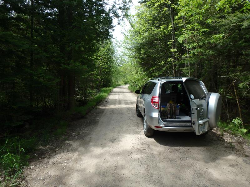
Gleaner Hall Rd
Paradise Twp,
Grand Traverse County
Information collected by:
Site Location
GPS Coordinates: 44.55563
, -85.47504
T25N
R10W
Sec 24
Owned by Private
Fish Passability 0.9
Total Erosion: 1.3309 tons/year
Severity: Moderate
Year Inventoried: 2020
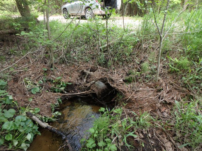
Inlet
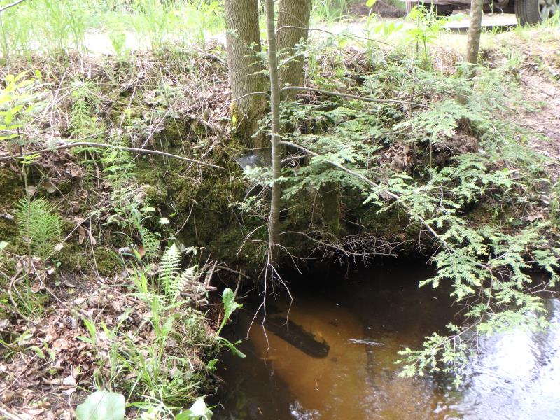
Outlet
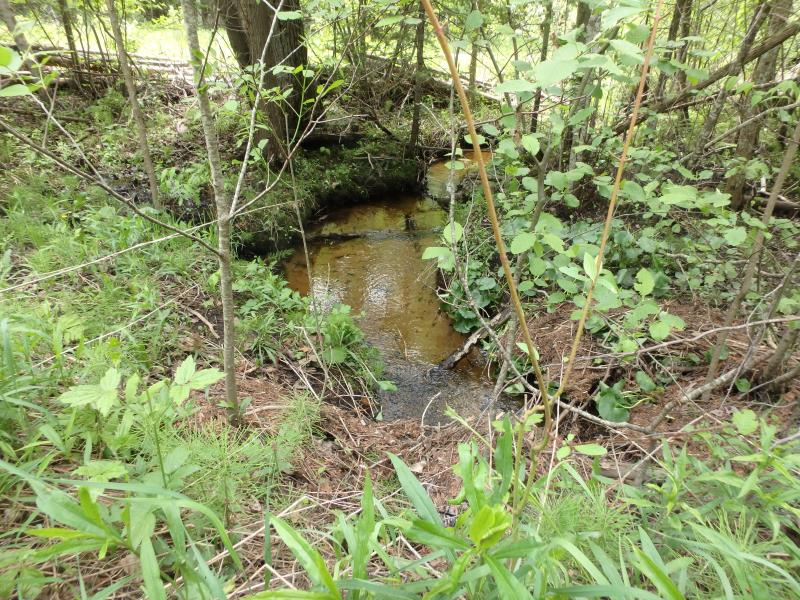
Upstream Conditions
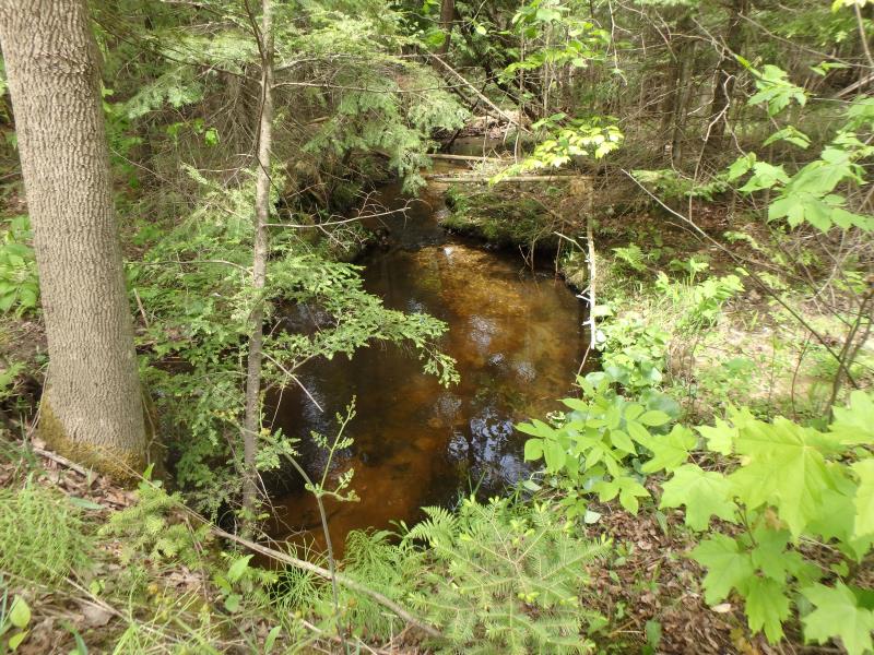
Downstream Conditions
Road Approach - Left
Road Approach - Right
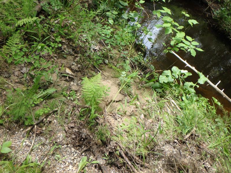
Erosion
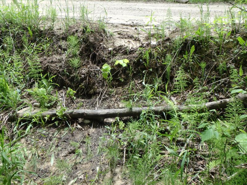
Erosion
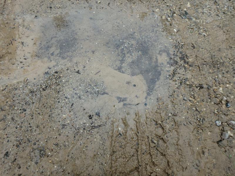
Other
Other
Crossing Information
Type of Crossing: culvert(s)
Structure Shape: Round
Inlet Type: Projecting
Outlet Type: At Stream Grade
Structure Material: Metal
Structure Substrate: Sand
General Conditions: Poor
Structure Interior: corrugated
Structure is Rusted through
Dimensions of Structure: Length 25 ft.
, Width 1.5 ft.
, Height 1.5 ft.
Structure Inlet
Water Depth: 0.7 ft.
Embedded Depth of Structure: 0 ft.
Water Velocity*: 1.5 ft./sec.
Structure Outlet
Water Depth: 0.8 ft.
Embedded Depth of Structure: 0 ft.
Water Velocity*: 1.5 ft./sec.
*Water Velocities were measured 0.4 ft. below Surface
(with Meter)
Stream Information
Stream Flow: Less than Bankfull
Riffle Information
Water Depth: 0.4 ft.
Bankfull Width: 3 ft.
Wetted Width: 3 ft.
Water Velocity: 1.1 ft./sec.
(Measured with Meter)
Dominant Substrate: Sand
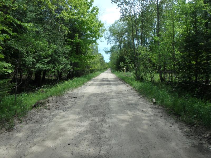
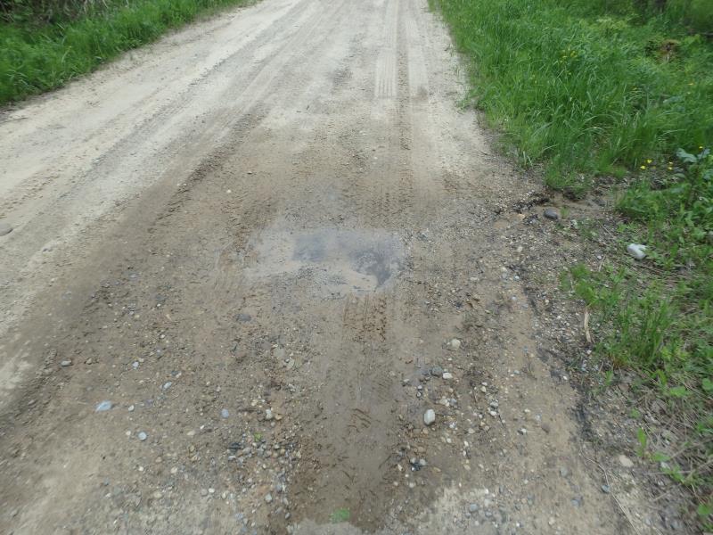
Road Information
Gravel
County Road
Road Condition: Poor
Road Width at Culvert: 14 ft.
Location of Low Point: At Stream
Runoff Path: Roadway
Embankments
Upstream
Fill Depth: 2.5 ft.
Slope: Vertical
Downstream
Fill Depth: 2.5 ft.
Slope: Vertical
Approaches
Left Approach
Length: 200 ft.
Slope: 1% to 5%
Vegetation: Heavy
LS Factor: 0.43
Erosion: 0.3317 tons/year
Right Approach
Length: 500 ft.
Slope: 1% to 5%
Vegetation: Heavy
LS Factor: 0.5
Erosion: 0.9642 tons/year
Erosion Information
Total Erosion at Crossing: 1.3309 tons/year
Extent of Erosion: Moderate
Location of Erosion | Erosion Dimensions | Eroded Material | Material Eroded | Total Erosion | ||
facing downstream | Length | Width | Depth | Reaching Stream? | (tons/year) | |
Right Downstream Embankment |
20 ft. |
3 ft. |
0.2 ft. |
yes |
Sand |
0.0308 |
Left Downstream Embankment |
6 ft. |
2 ft. |
0.1 ft. |
yes |
Gravelly Loam |
0.0042 |
Summary Information
Fish Passability 0.9
�