Road Stream Crossing Site GTBAY_S753
Boardman River Watershed, Bancroft Creek
M-113
Paradise Twp,
Grand Traverse County
Information collected by:
Site Location
GPS Coordinates: 44.58458
, -85.46096
T25N
R10W
Sec 01
Owned by Private
Fish Passability 1
Total Erosion: 0.7188 tons/year
Severity: Moderate
Year Inventoried: 2020
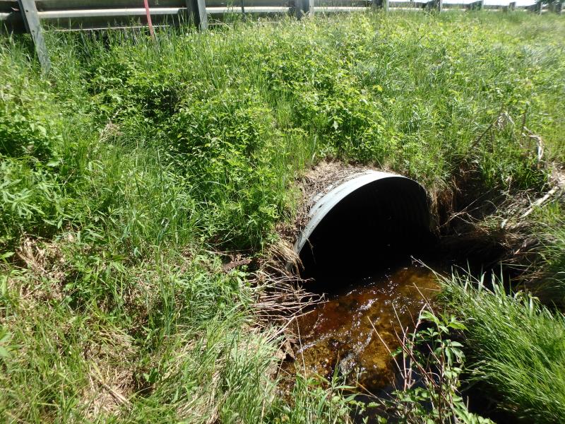
Inlet
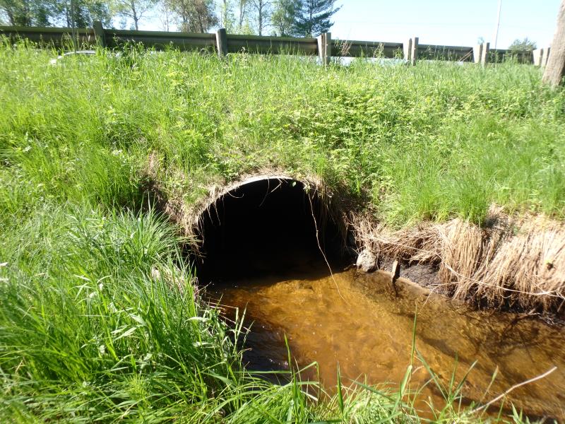
Outlet
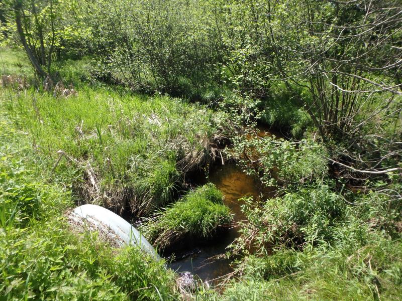
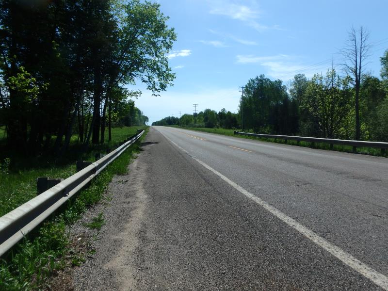
Upstream Conditions
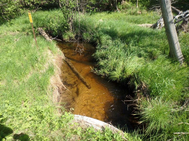
Downstream Conditions
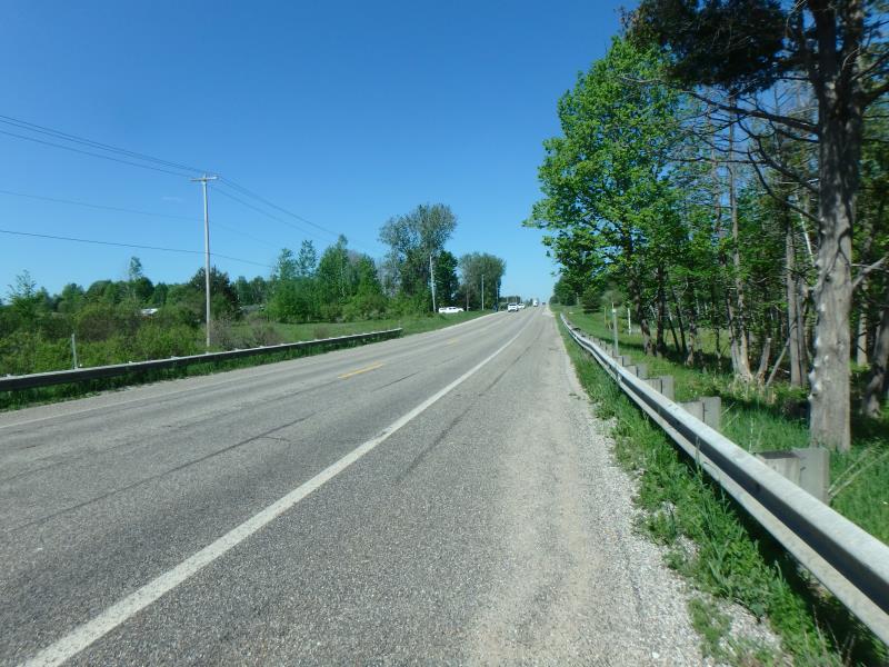
Road Approach - Left
Road Approach - Right
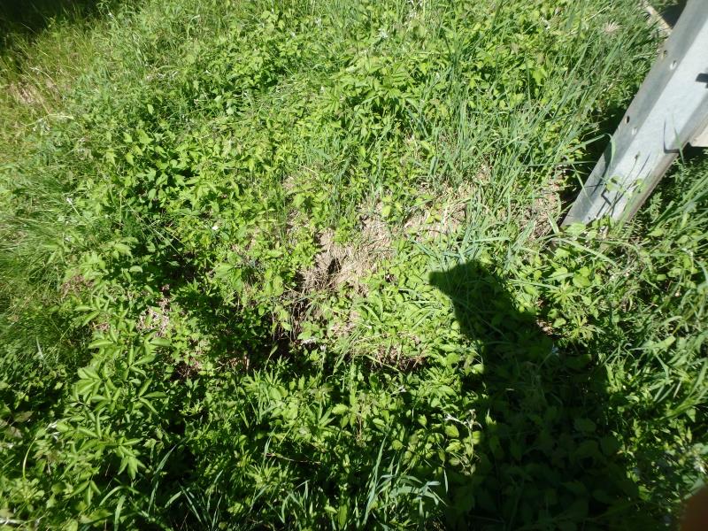
Erosion
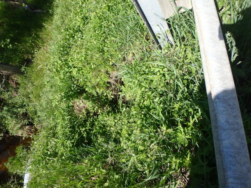
Erosion
Crossing Information
Type of Crossing: culvert(s)
Structure Shape: Ellipse
Inlet Type: Projecting
Outlet Type: At Stream Grade
Structure Material: Metal
Structure Substrate: Sand
General Conditions: Fair
Structure Interior: corrugated
Dimensions of Structure: Length 64 ft.
, Width 6 ft.
, Height 3.7 ft.
Structure Inlet
Water Depth: 0.6 ft.
Embedded Depth of Structure: 0 ft.
Water Velocity*: 1.5 ft./sec.
Structure Outlet
Water Depth: 0.5 ft.
Embedded Depth of Structure: 0 ft.
Water Velocity*: 2 ft./sec.
*Water Velocities were measured 0.3 ft. below Surface
(with Meter)
Additional Comments
Recommend changing passability to 1, check velocity at outlet. Erosion still an area of concern for this site, maintain moderate severity score
Stream Information
Stream Flow: Less than Bankfull
Riffle Information
Water Depth: 0.5 ft.
Bankfull Width: 7.8 ft.
Wetted Width: 6.8 ft.
Water Velocity: 1.2 ft./sec.
(Measured with Meter)
Dominant Substrate: Sand
Road Information
Paved
State Road
Road Condition: Fair
Road Width at Culvert: 38 ft.
Location of Low Point: Other
Runoff Path: Ditch
Embankments
Upstream
Fill Depth: 4 ft.
Slope: More than 1:2
Downstream
Fill Depth: 4 ft.
Slope: More than 1:2
Approaches
Left Approach
Length: 75 ft.
Slope: Less Than 1%
Vegetation: Heavy
LS Factor: 0.05
Erosion: 0.0047 tons/year
Right Approach
Length: 500 ft.
Slope: 1% to 5%
Vegetation: Heavy
LS Factor: 0.5
Erosion: 0.314 tons/year
Erosion Information
Total Erosion at Crossing: 0.7188 tons/year
Extent of Erosion: Severe
Location of Erosion | Erosion Dimensions | Eroded Material | Material Eroded | Total Erosion | ||
facing downstream | Length | Width | Depth | Reaching Stream? | (tons/year) | |
Right Upstream Embankment |
5 ft. |
3 ft. |
2 ft. |
yes |
Gravelly Loam |
0.2 |
Left Upstream Embankment |
5 ft. |
3 ft. |
2 ft. |
yes |
Gravelly Loam |
0.2 |
Summary Information
Fish Passability 1
Erosion is an area of concern for this site.
A future visit to this site is recommended. Erosion on upstream embankment moving toward undercutting road
�