Road Stream Crossing Site GTBAY_S754
Boardman River Watershed, Bancroft Creek
Hodge Rd
Fife Lake Twp,
Grand Traverse County
Information collected by:
Site Location
GPS Coordinates: 44.57811
, -85.43442
T25N
R9W
Sec 08
Owned by Private
Fish Passability 1
Total Erosion: 1.6157 tons/year
Severity: Minor
Year Inventoried: 2020
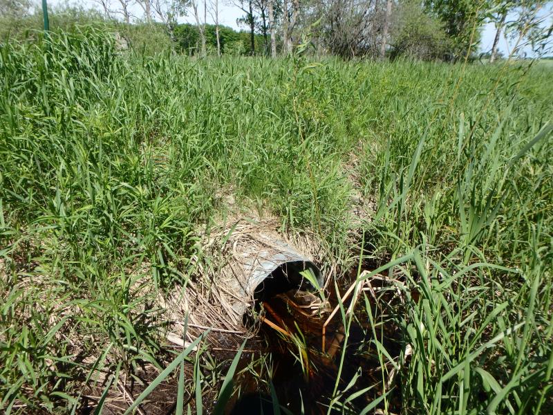
Inlet
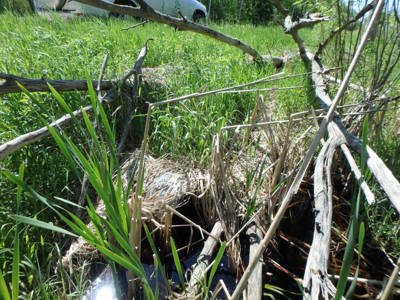
Outlet
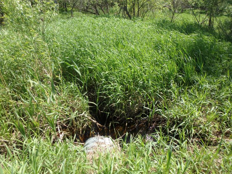
Upstream Conditions
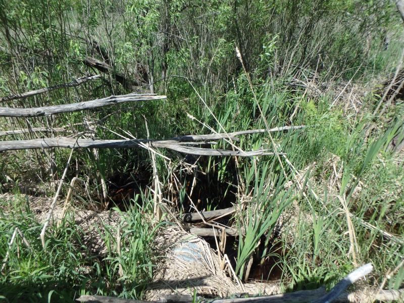
Downstream Conditions
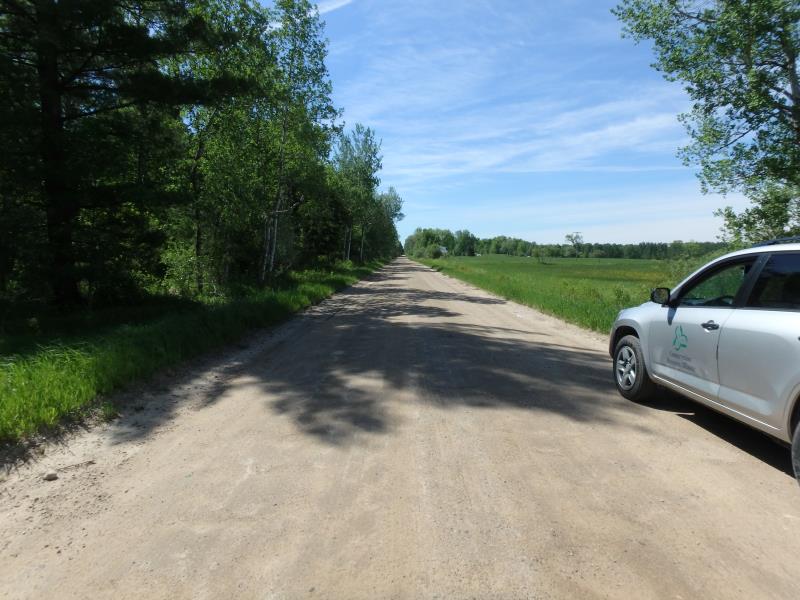
Road Approach - Left
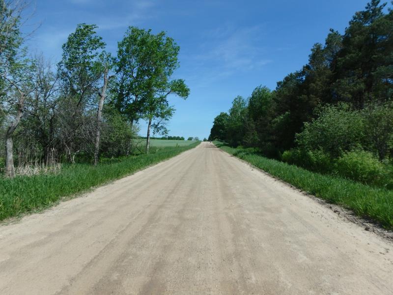
Road Approach - Right
Crossing Information
Type of Crossing: culvert(s)
Structure Shape: Round
Inlet Type: Projecting
Outlet Type: At Stream Grade
Structure Material: Metal
Structure Substrate: Mixture
General Conditions: Fair
Structure Interior: corrugated
Dimensions of Structure: Length 44 ft.
, Width 1.5 ft.
, Height 1.5 ft.
Structure Inlet
Water Depth: 0.4 ft.
Embedded Depth of Structure: 0.1 ft.
Water Velocity*: 1.1 ft./sec.
Structure Outlet
Water Depth: 0.5 ft.
Embedded Depth of Structure: 0 ft.
Water Velocity*: 0.3 ft./sec.
*Water Velocities were measured 0.2 ft. below Surface
(with Meter)
Additional Comments
Change passability score to 1, ample water depth and acceptable velocities. Change severity to minor for erosion because of heavy vegeation.
Stream Information
Stream Flow: More than Bankfull
Riffle Information
Water Depth: 0.3 ft.
Bankfull Width: 2 ft.
Wetted Width: 20 ft.
Water Velocity: 0.1 ft./sec.
(Measured with Float Test)
Dominant Substrate: Organics
Road Information
Gravel
County Road
Road Condition: Fair
Road Width at Culvert: 23 ft.
Location of Low Point: At Stream
Runoff Path: Ditch
Embankments
Upstream
Fill Depth: 1.5 ft.
Slope: More than 1:2
Downstream
Fill Depth: 1.5 ft.
Slope: More than 1:2
Approaches
Left Approach
Length: 100 ft.
Slope: Less Than 1%
Vegetation: Heavy
LS Factor: 0.05
Erosion: 0.0317 tons/year
Right Approach
Length: 500 ft.
Slope: 1% to 5%
Vegetation: Heavy
LS Factor: 0.5
Erosion: 1.584 tons/year
Erosion Information
Total Erosion at Crossing: 1.6157 tons/year
Summary Information
Fish Passability 1
�